


![]()
![]()
![]()
![]()
![]()
![]()
![]()
![]()
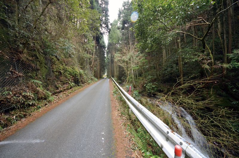
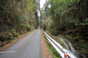
古代の都・飛鳥京と吉野の離宮を結ぶ最短の道として開かれ、天武天皇、持統天皇が吉野行幸の際に通られたと考えられる芋ヶ峠。奥深い森の峠道は昼間でも暗く対向車は滅多に来ないですが道は狭くくねっているのでご注意を。
Imoga-toge Pass was opened as the shortest road connecting the ancient capital Asukakyo and Yoshino Imperial Villa, and is thought to have been passed by Emperor Tenmu and Emperor Jito when they visited Yoshino. The deep forest pass is dark even during the daytime, and oncoming traffic rarely comes, but please be aware that the road is narrow and winding.
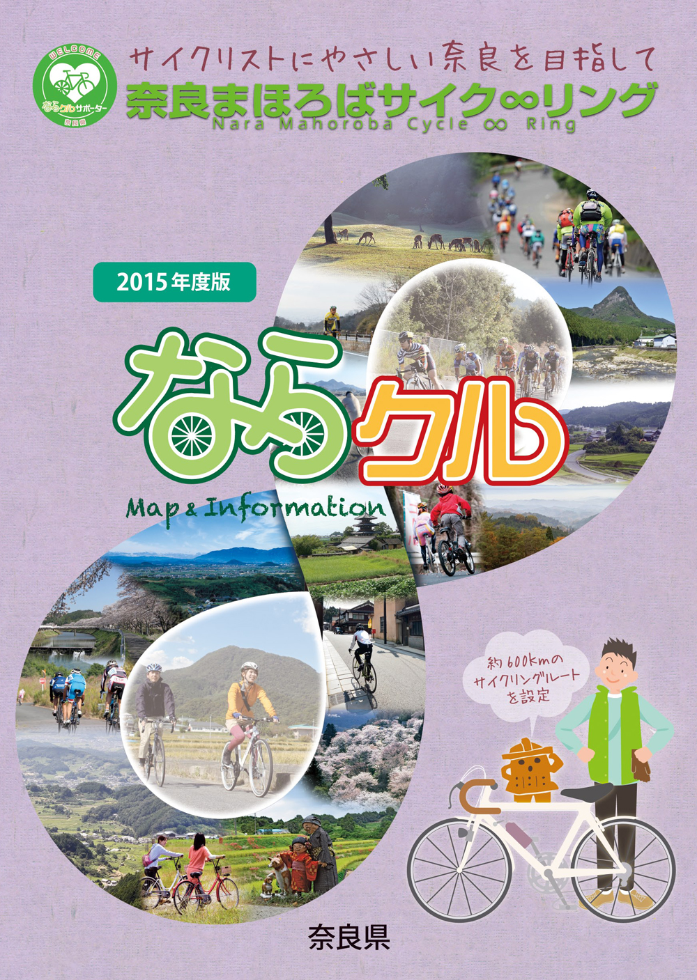
約600kmに及ぶ「奈良まほろばサイク∞リング」“略称:ならクル”の31ルート+補助幹線ルートを紹介するマップ。
マップ詳細へ※オンラインの地図上でサイクリングルートが閲覧できるウェブサイト「ルートラボ」が2020年3月末でサービス終了したため、「bikemap」に変更したことで、bikemap内の距離や高低差に誤差が生じている場合がありますが、ご理解ご了承の程、よろしくお願いします。
奈良県では、自転車利用者の皆様がサイクリング中に気軽に立ち寄って休息していただける場所として「自転車の休憩所」を認定しています。
「自転車の休憩所」のいずれの場所でも駐輪スペースが確保されているほか、トイレの提供や空気入れ(スポーツサイクル対応の無料貸し出しを行っています)
また、場所によってはバイクスタンドなどのその他のサービスを提供しています。
奈良県では自転車愛好家の方に安心して自転車旅行を楽しんでいただくために「サイクリストに優しい宿」を認定しています。「サイクリストにやさしい宿」とは、自転車を安心して屋内に保管でき、自転車搬送サービスのとりつぎが可能な宿泊施設です。
