


![]()
![]()
![]()
![]()
![]()
![]()
![]()
![]()
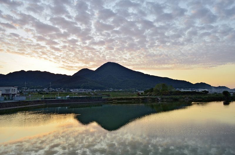

ルート上には、一夜にして當麻曼荼羅を織り上げたという中将姫伝説の残る「當麻寺」があります。四季折々に変化を見せる二上山、葛城山、金剛山に奈良の自然を体感することができます。
Along the route, there is “Taima Temple,” where the legend of Princess Nakashohime, which is said to have woven Taima mandala overnight, remains. You can experience the nature of Nara on Mount Nijo, Mount Katsuragi, and Mount Kongo, which change from season to season.
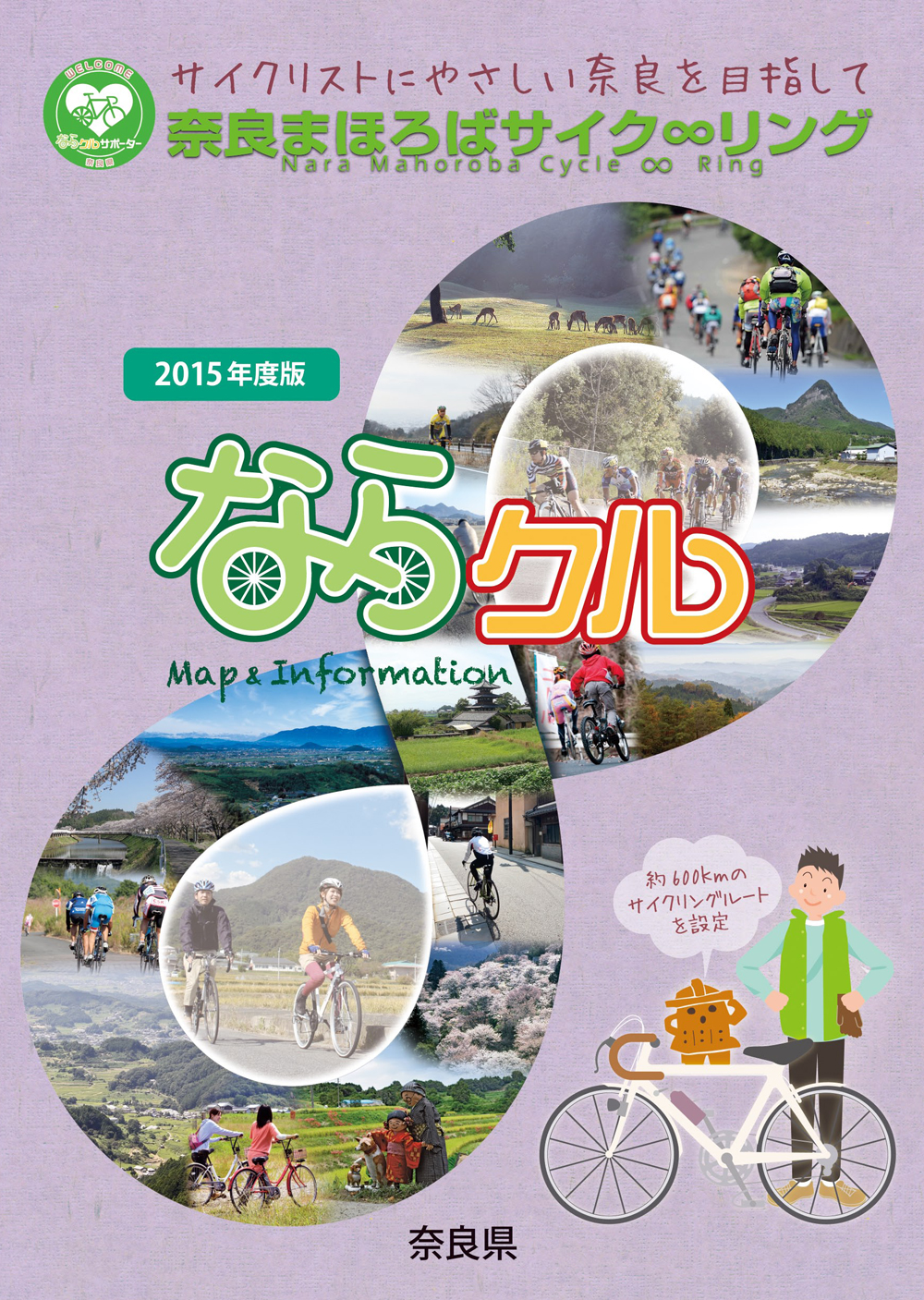
約600kmに及ぶ「奈良まほろばサイク∞リング」“略称:ならクル”の31ルート+補助幹線ルートを紹介するマップ。
マップ詳細へ※オンラインの地図上でサイクリングルートが閲覧できるウェブサイト「ルートラボ」が2020年3月末でサービス終了したため、「bikemap」に変更したことで、bikemap内の距離や高低差に誤差が生じている場合がありますが、ご理解ご了承の程、よろしくお願いします。
奈良県では、自転車利用者の皆様がサイクリング中に気軽に立ち寄って休息していただける場所として「自転車の休憩所」を認定しています。
「自転車の休憩所」のいずれの場所でも駐輪スペースが確保されているほか、トイレの提供や空気入れ(スポーツサイクル対応の無料貸し出しを行っています)
また、場所によってはバイクスタンドなどのその他のサービスを提供しています。
