


![]()
![]()
![]()
![]()
![]()
![]()
![]()
![]()
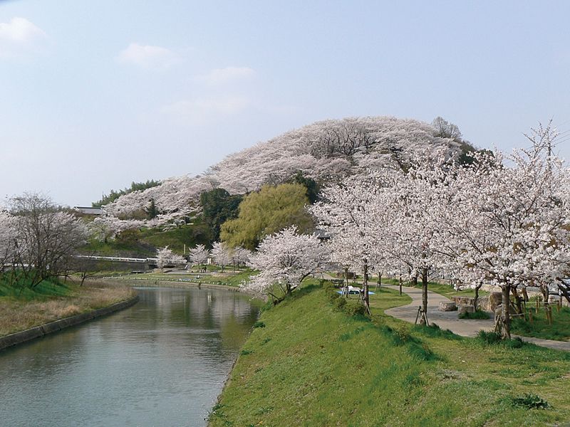
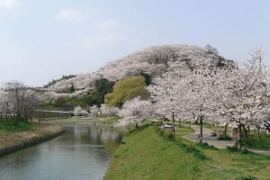
百人一首や古今集にも詠まれた紅葉の名所である竜田川流域を巡ります。ゆるやかな川の流れとともに、生駒山と矢田丘陵に囲まれた牧歌的な風景も楽しめます。桜の季節もおすすめのルートです。
We will visit the Tatsuta River basin, a famous place for fall foliage described in Hyakunin Isshu and Kokonin Shu. Along with the gentle flow of the river, you can also enjoy the idyllic scenery surrounded by Mount Ikoma and the Yada Hills. This route is also recommended during the cherry blossom season.
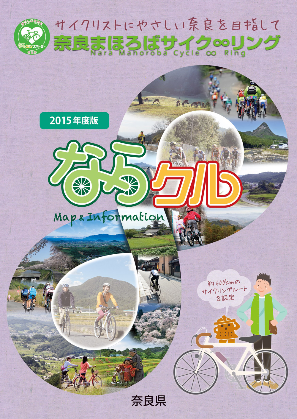
約600kmに及ぶ「奈良まほろばサイク∞リング」“略称:ならクル”の31ルート+補助幹線ルートを紹介するマップ。
マップ詳細へ※オンラインの地図上でサイクリングルートが閲覧できるウェブサイト「ルートラボ」が2020年3月末でサービス終了したため、「bikemap」に変更したことで、bikemap内の距離や高低差に誤差が生じている場合がありますが、ご理解ご了承の程、よろしくお願いします。
奈良県では、自転車利用者の皆様がサイクリング中に気軽に立ち寄って休息していただける場所として「自転車の休憩所」を認定しています。
「自転車の休憩所」のいずれの場所でも駐輪スペースが確保されているほか、トイレの提供や空気入れ(スポーツサイクル対応の無料貸し出しを行っています)
また、場所によってはバイクスタンドなどのその他のサービスを提供しています。
