


![]()
![]()
![]()
![]()
![]()
![]()
![]()
![]()
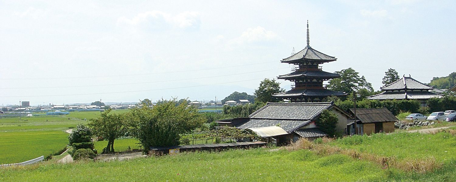
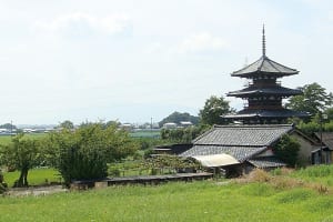
お寺の塔と田園が織り成す風景に、どこか懐かしい気持ちを感じたり、遠く聞こえる鐘の音に旅情を誘われたりと、世界遺産・法隆寺地域の仏教建造物を間近に体感できます。
You can experience the Buddhist buildings in the World Heritage Site Horyuji area up close, feeling nostalgic in the landscape where the temple tower and the countryside interweave, and being invited to travel by the sound of a bell that can be heard in the distance.
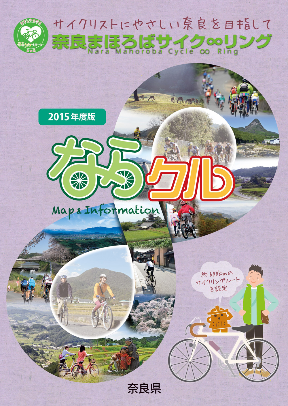
約600kmに及ぶ「奈良まほろばサイク∞リング」“略称:ならクル”の31ルート+補助幹線ルートを紹介するマップ。
マップ詳細へ※オンラインの地図上でサイクリングルートが閲覧できるウェブサイト「ルートラボ」が2020年3月末でサービス終了したため、「bikemap」に変更したことで、bikemap内の距離や高低差に誤差が生じている場合がありますが、ご理解ご了承の程、よろしくお願いします。
奈良県では、自転車利用者の皆様がサイクリング中に気軽に立ち寄って休息していただける場所として「自転車の休憩所」を認定しています。
「自転車の休憩所」のいずれの場所でも駐輪スペースが確保されているほか、トイレの提供や空気入れ(スポーツサイクル対応の無料貸し出しを行っています)
また、場所によってはバイクスタンドなどのその他のサービスを提供しています。
奈良県では自転車愛好家の方に安心して自転車旅行を楽しんでいただくために「サイクリストに優しい宿」を認定しています。「サイクリストにやさしい宿」とは、自転車を安心して屋内に保管でき、自転車搬送サービスのとりつぎが可能な宿泊施設です。
