![]()
![]()
![]()
![]()
![]()
![]()
![]()
![]()

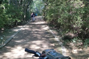
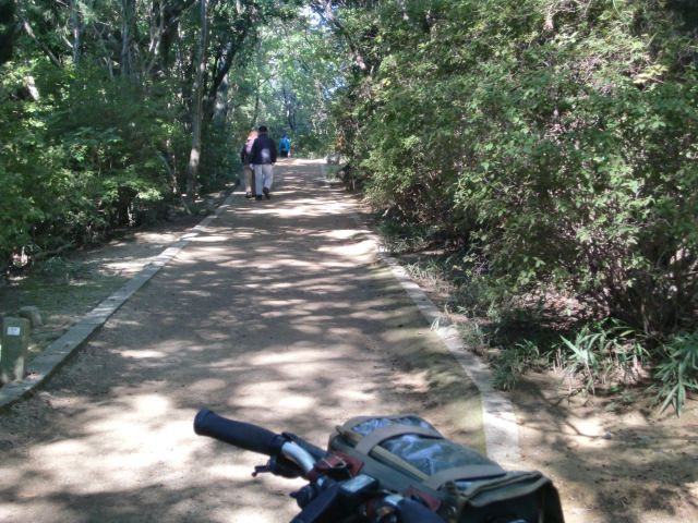
夏は涼しく、冬は日差しで暖かい緑に包まれたコースです。陶器山丘陵の尾根を通る天野山金剛寺への古道の風情が楽しめます。泉ヶ丘駅ルート、西高野街道も通る白鷺駅ルートが選べます。
The course is cool in summer and wrapped in warm greenery with sunshine in winter. You can enjoy the atmosphere of the ancient road to Amanosan Kongoji Temple through the ridge of Mount Pottery Hill. You can choose the Izumigaoka Station Route or the Shirasagi Station Route, which also passes through the Nishi-Koya Kaido Road.
※オンラインの地図上でサイクリングルートが閲覧できるウェブサイト「ルートラボ」が2020年3月末でサービス終了したため、「bikemap」に変更したことで、bikemap内の距離や高低差に誤差が生じている場合がありますが、ご理解ご了承の程、よろしくお願いします。