


![]()
![]()
![]()
![]()
![]()
![]()
![]()
![]()

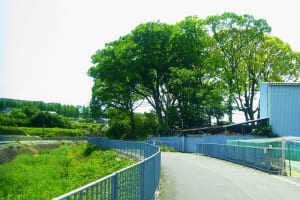
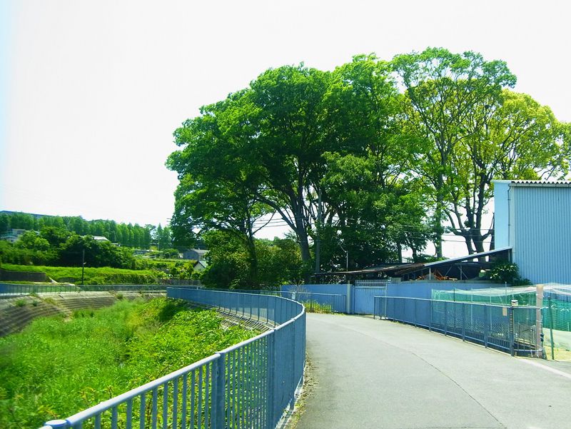
堺市内の川沿いのルートで、車の交通量も少なく、のんびりと風景が楽しめます。和田川上流の美木多には旧豪族の屋敷林が残っており、また南部では栂(とが)緑道の木陰の中を走ります。
It is a riverside route in Sakai city, and there is little car traffic, so you can enjoy the scenery leisurely. In Mikita, in the upper reaches of the Wada River, there is still a forest of residences of the former ruling family, and in the southern part, they run in the shade of green paths.
※オンラインの地図上でサイクリングルートが閲覧できるウェブサイト「ルートラボ」が2020年3月末でサービス終了したため、「bikemap」に変更したことで、bikemap内の距離や高低差に誤差が生じている場合がありますが、ご理解ご了承の程、よろしくお願いします。
大阪府堺市南部を流れる、石津川の支流。
