


![]()
![]()
![]()
![]()
![]()
![]()
![]()
![]()

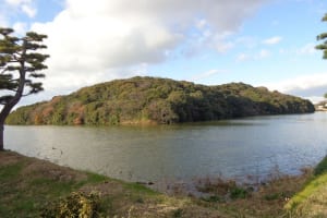
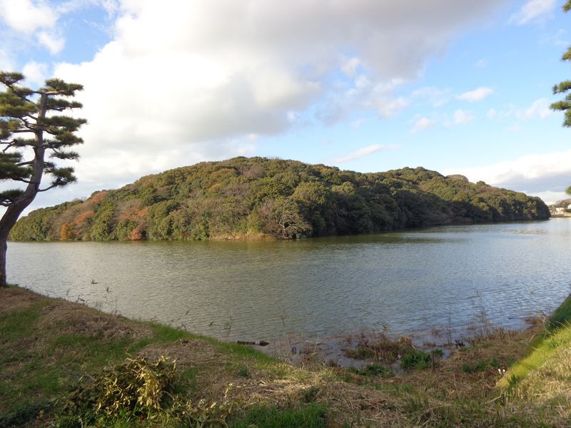
巨大古墳をめぐるには遊歩道も通ることが出来る自転車が最適。古墳から吹く風を全身で受けて、草花の香り、鳥の声に耳を澄ませてゆっくりロマンを感じて走るコースです。
The best way to go around the giant tomb is to use a bicycle that can also go through the promenade. It is a course where you can catch the wind blowing from the burial mound with your whole body, listen closely to the scent of flowers and the sounds of birds, and run slowly and feeling the romance.
※オンラインの地図上でサイクリングルートが閲覧できるウェブサイト「ルートラボ」が2020年3月末でサービス終了したため、「bikemap」に変更したことで、bikemap内の距離や高低差に誤差が生じている場合がありますが、ご理解ご了承の程、よろしくお願いします。
全長486m、前方部幅307m。日本最大級の前方後円墳。5世紀の築造と考えられ、クフ王のピラミッドと奏の始皇帝陵に並ぶ世界三大墳墓のひとつといわれています。正面の拝所からその神秘的な雰囲気を感じ取ることができます。平成22年11月、百舌鳥古墳群は古市古墳群(羽曳野市、藤井寺市)とともに、ユネスコの世界遺産暫定一覧表に記載されました。
日本唯一の自転車博物館で、約200年前の自転車から最新の競技用自転車まで展示しています。大仙公園自転車ひろばでは、毎月第2・4日曜日と祝日はクラシック自転車のレプリカに体験試乗できます。(開催日は変更になる場合があります。)
