![]()
![]()
![]()
![]()
![]()
![]()
![]()
![]()

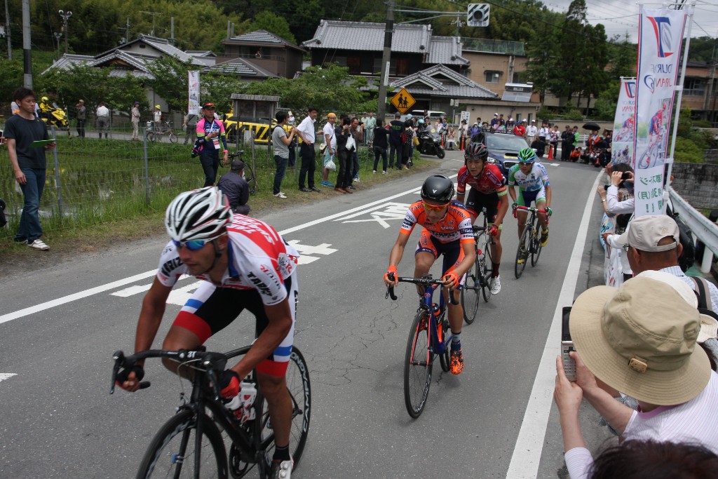
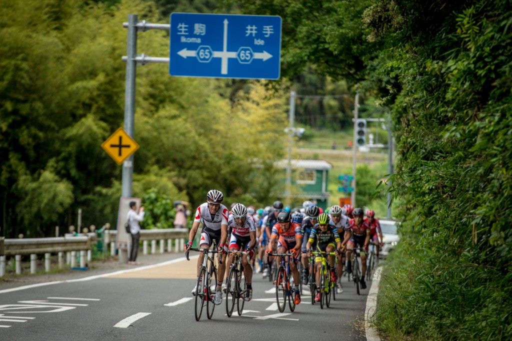


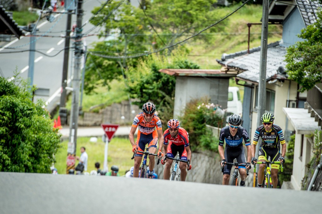
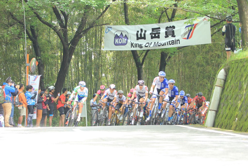
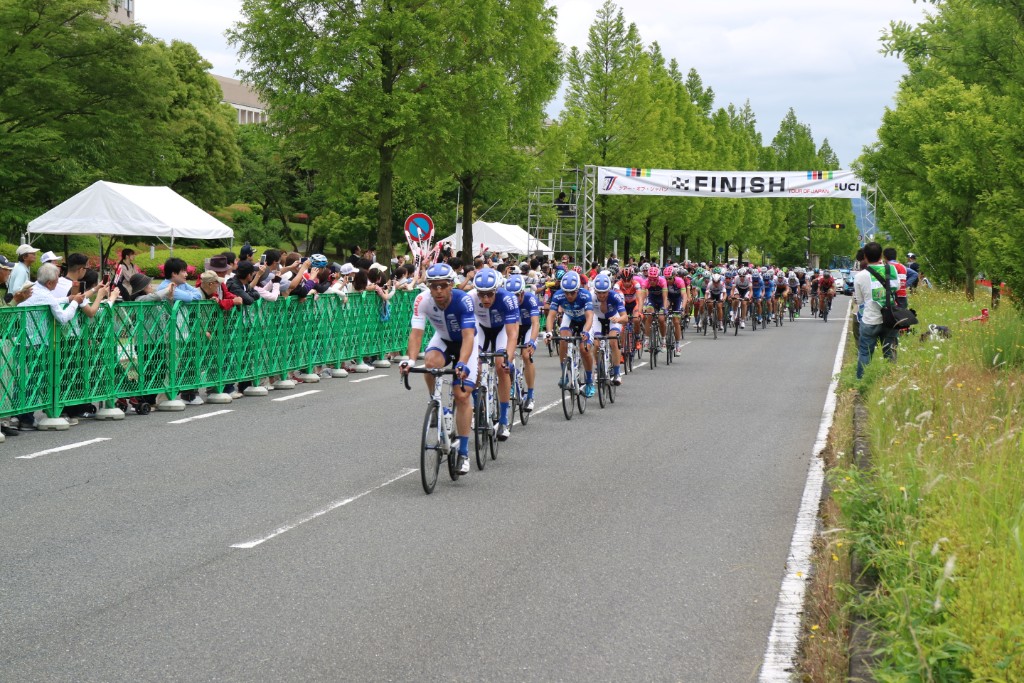
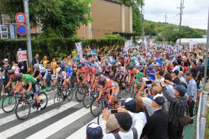
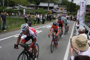

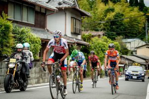
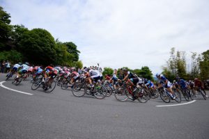
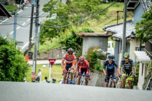

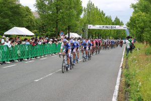
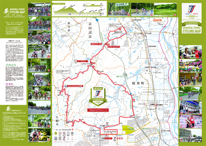
玉露や一休さんで有名な京田辺市にある「普賢寺ふれあいの駅」をセレモニーランのスタート地点とし、「同志社大学 京田辺キャンパス」内をまわってから、1周16.8kmの起伏の激しい周回コースへと入っていきます。ゴール地点となるのは精華町にある関西文化学術研究都市の中心に位置する「けいはんなプラザ」の西側、パナソニック前で、美しい自然と近代的な街並みが絶妙に調和する抜群のロケーションのなか、選手たちが熱い戦いを繰り広げることになります。
“Fugenji Fureai Station” in Kyotanabe City, famous for gyokuro and Ikkyu-san, is the starting point for the ceremony run, and after going around the “Doshisha University Kyotanabe Campus,” we enter a circular course with heavy undulations of 16.8 km per lap. The goal point is on the west side of “Keihanna Plaza,” which is located in the center of the Kansai Cultural and Academic Research City in Seika-cho, in front of Panasonic, and the players will wage a heated battle in an outstanding location where beautiful nature and modern cityscapes are in perfect harmony.
※オンラインの地図上でサイクリングルートが閲覧できるウェブサイト「ルートラボ」が2020年3月末でサービス終了したため、「bikemap」に変更したことで、bikemap内の距離や高低差に誤差が生じている場合がありますが、ご理解ご了承の程、よろしくお願いします。