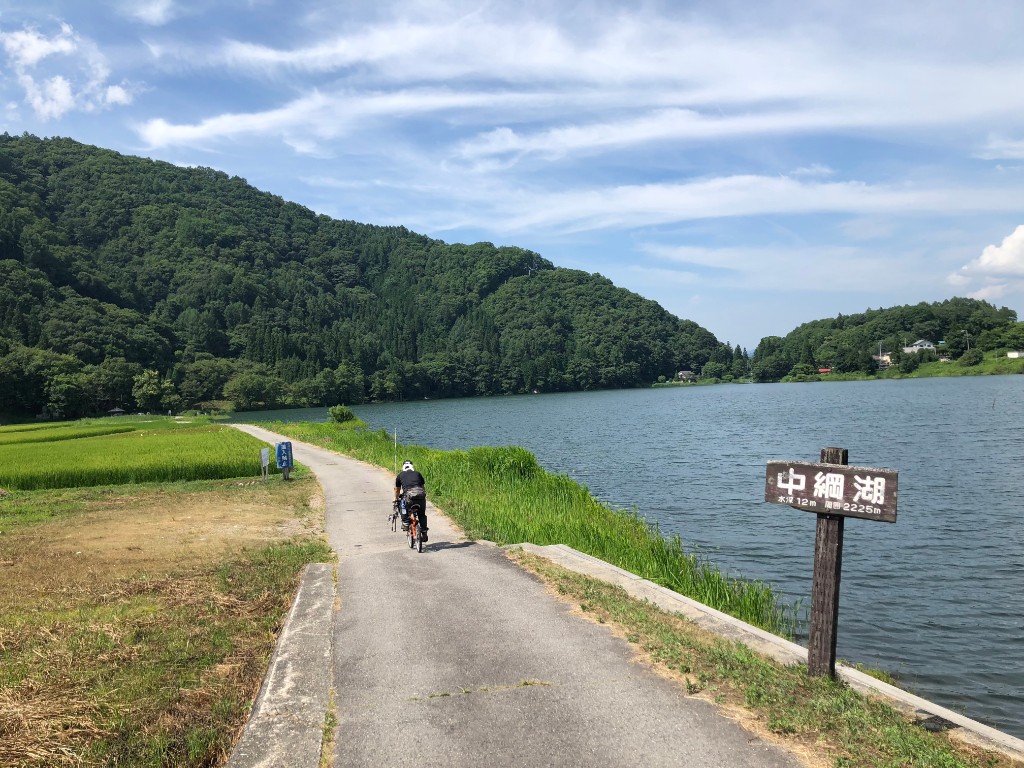
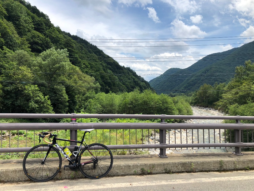
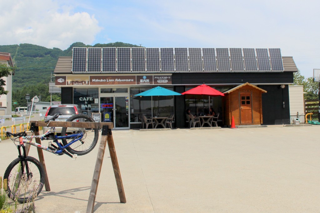
This is a course rich in varied scenery where you can pass through the foot of 10 ski resorts in Hakuba Valley, look up at the Northern Alps on your left, pass through the refreshing lakeside and the foot of the Himekawa headwaters forest, and run through to Tsugaike Plateau where pretty flowers bloom. If you go west from Shinano-Omachi Station and leave the city area, it gradually becomes a paddy field area with an open field of view. The long climb gradually begins from around Omachi Onsenkyo. The sports village at the peak of the mountain pass has gained an elevation of 300 meters, and if you look back, the 100 Famous Mountains, Kashima Yarigatake, are close at hand. If I have time, I'd like to stop at Mount Oguma and get a bird's-eye view of Lake Kizaki. After the downhill from Kashima, the trend was downhill. Hakuba is dotted with cafes and restaurants that make you want to stop, so I want to slow down my speed, run leisurely, and burn the spectacular scenery into my heart. The ascent continues again from Iwatake, but let's run for Cortina's exquisite sweets as a reward.