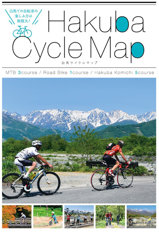
コース・マップ検索
移りゆく景色を楽しむ50kmコース
距離 Distance:
53.5km
獲得標高 上り Elevation Gain (Up):
689m
獲得標高 下り Elevation Gain (Down):
690m
最大標高差 Maximum elevation difference:
274m
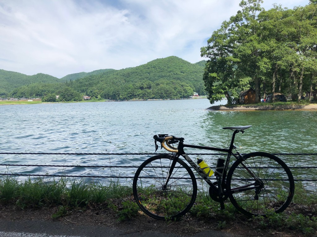
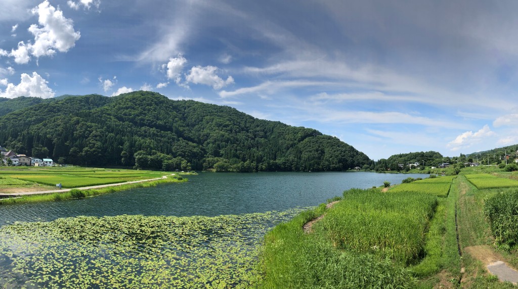
駐車場、温泉、コンビニ、飲食店がある八方エリアを起点に、300m弱の標高差がある山道や移りゆく景色を楽しめる走りごたえのなるコース。菜の花やそばの花が一面に咲く中山高原や、仁科三湖、広大な田んぼや迫力のある白馬三山など、走っていて飽きさせない。
Starting from the Happo area, where there are parking lots, hot springs, convenience stores, and restaurants, this is a challenging course where you can enjoy mountain trails with an elevation difference of less than 300 meters and changing scenery. You won't get tired of running around Nakayama Plateau, where rapeseed flowers and buckwheat flowers bloom all over, the Nishina Three Lakes, vast rice paddies, and the impressive Hakuba Sanzan Mountains.
コース掲載マップ Hakuba Cycle Map
オススメスポット ビュースポット いきもの・植物 グルメ ショッピング 道の駅 温泉 宿泊 病院 レンタサイクル 自転車販売店 サイクリングサポート トイレ その他
※オンラインの地図上でサイクリングルートが閲覧できるウェブサイト「ルートラボ」が2020年3月末でサービス終了したため、「bikemap」に変更したことで、bikemap内の距離や高低差に誤差が生じている場合がありますが、ご理解ご了承の程、よろしくお願いします。
コース周辺スポット
全て
道の駅
病院
レンタサイクル
サイクリングサポート
トイレ
で絞り込む
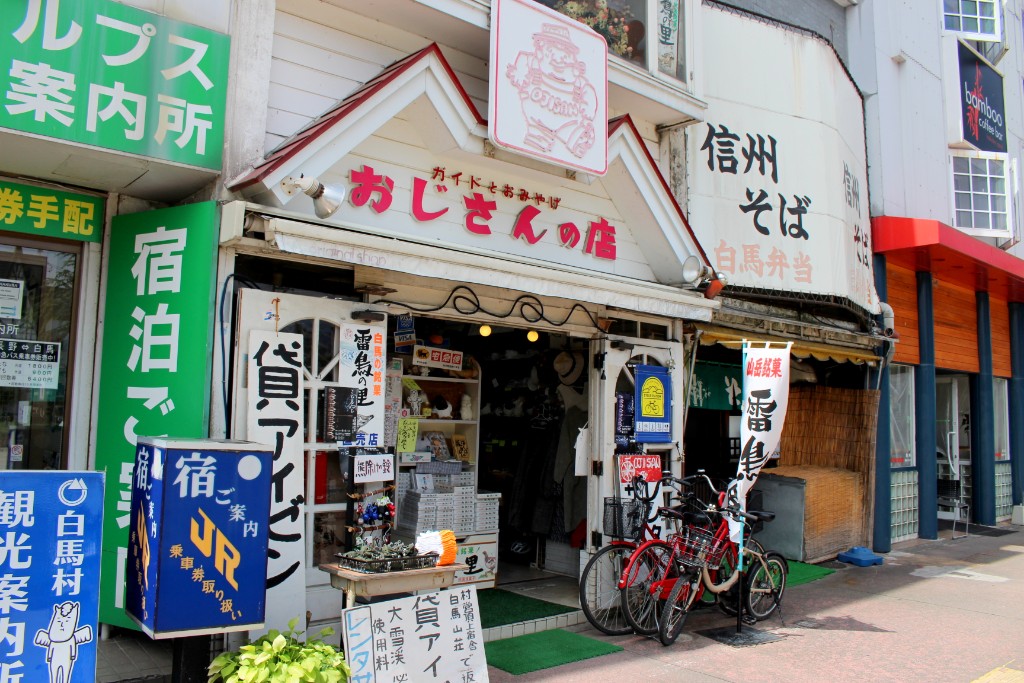
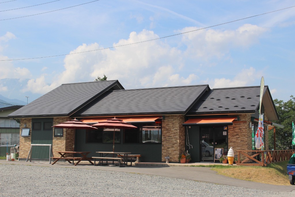
おじさんの店
住所:長野県北安曇郡白馬村大字北城6140-1
TEL:0261-72-2129
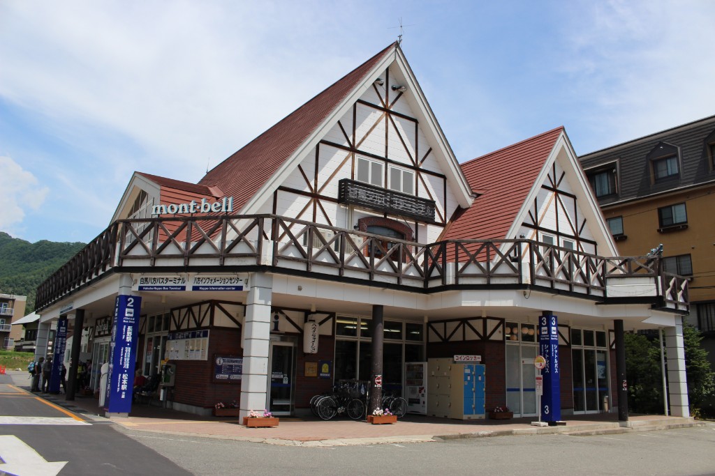
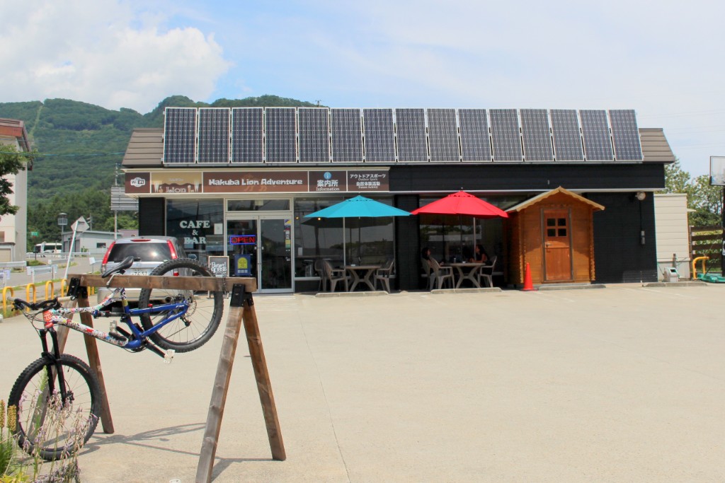
八方インフォメーションセンター
住所:長野県北安曇郡白馬村大字北城5734-1
TEL:0261-72-3066
営業時間:
[夏季]6:00~18:00(3月26日〜12月中旬)
定休日:
無休
料金:[レンタサイクル]タウン・子供用自転車 450円(1時間)、1,600円(1日)
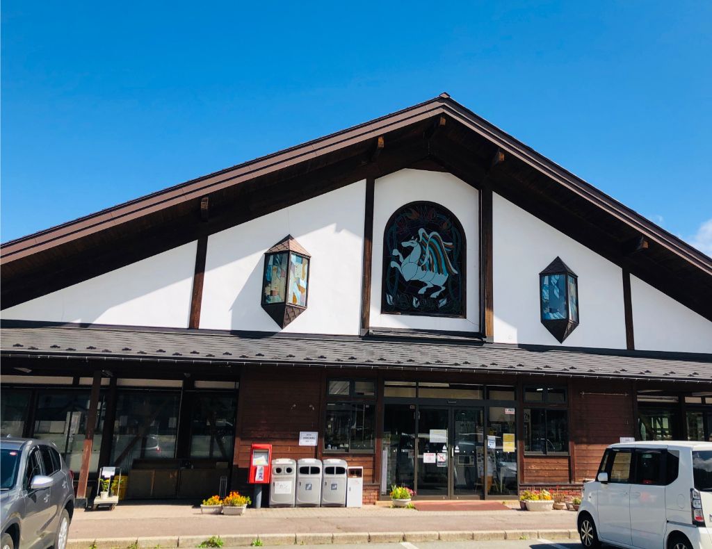
道の駅 白馬
住所:長野県北安曇郡白馬村神城21462-1
TEL:0261-75-3880
営業時間:
[売店]9:00~19:00
定休日:
火曜日定休期間4月~7月中旬と11月~12月(祝日翌日)
白馬そだち農かふぇ
住所:長野県北安曇郡白馬村神城23603
TEL:0261-75-3202
営業時間:
[夏季(7・8月)]9:00~18:00(日~木曜日) 9:00~20:00(金、土曜日)
定休日:
[夏季(7・8月)]無休 [夏季以外(9~6月)]水曜日
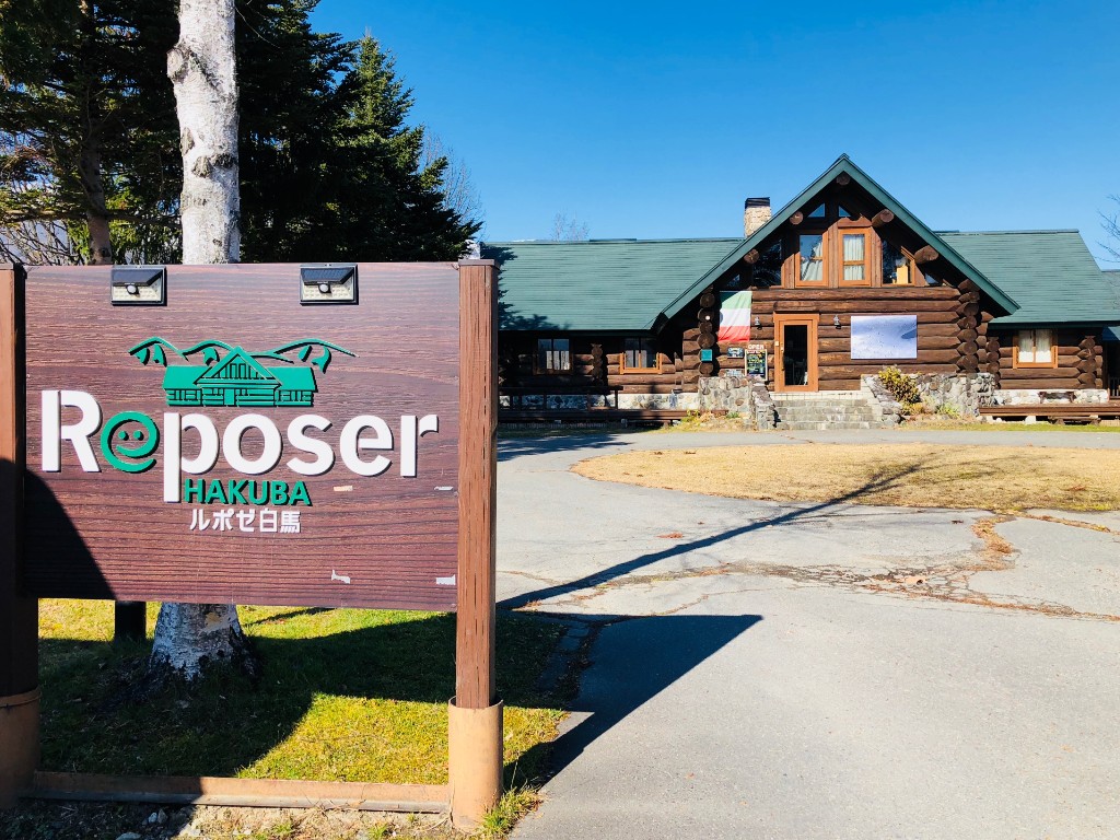
ルポゼ白馬
住所:長野県北安曇郡白馬村大字北城3030-1
TEL:0261-85-2822
営業時間:
[レストラン]11:30~14:30
定休日:
[レストラン・カフェ]火曜日
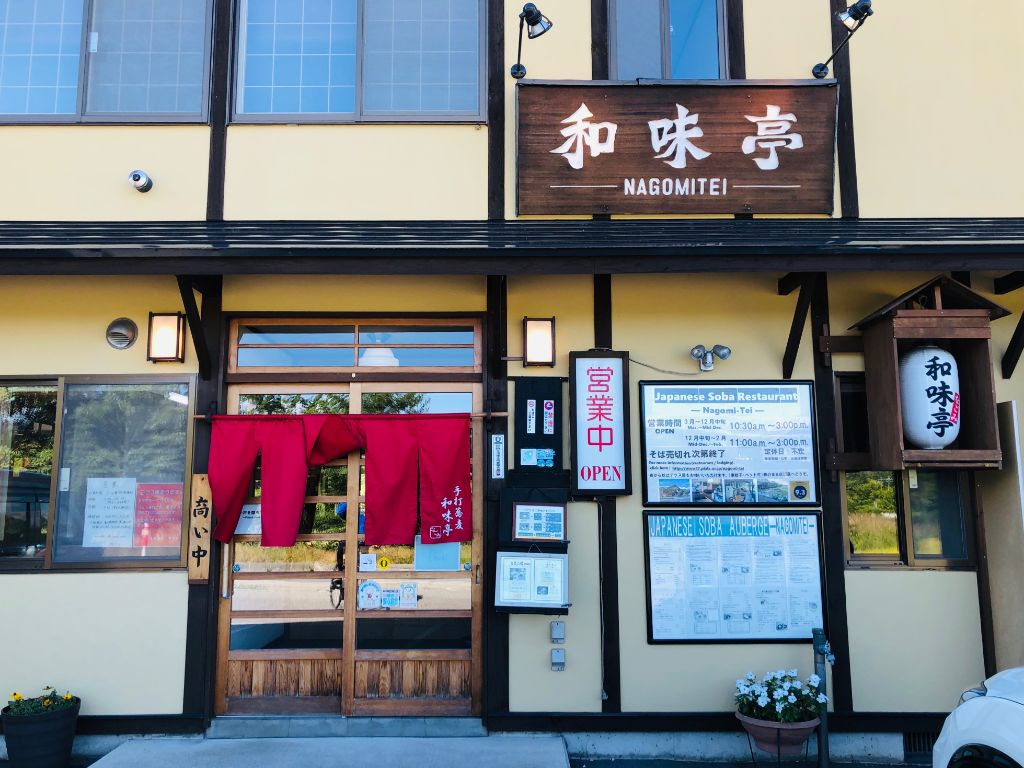
和味亭
住所:長野県北安曇郡白馬村北城3140
TEL:0261-72-7797
営業時間:
[3~12月中旬]10:30~15:00
定休日:
不定休
ライオンcafé
住所:長野県北安曇郡白馬村北城5746-3
TEL:0261-72-3860
営業時間:
8:00~17:00
定休日:
水曜日
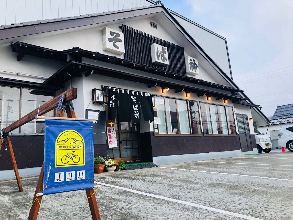
そば神白馬店
住所:長野県北安曇郡白馬村大字北城白馬町2126-2
TEL:0261-72-2055
営業時間:
11:00~15:00
定休日:
木曜日
SPICYエコモール店
住所:長野県北安曇郡北城
TEL:0261-72-2858
営業時間:
[冬季]8:00~18:00
Hakuba47
住所:長野県北安曇郡白馬村神城24196-47
TEL:0261-75-3533
料金:[レンタサイクル]MTB 1時間1,000円~、3時間2,000円~、1日3,000円~
広進堂
白馬五竜観光協会
住所:長野県北安曇郡白馬村神城22548 JR神城駅構内
TEL:0261-75-3131
栗田医院
住所:北安曇郡白馬村大字北城5986
TEL:2061-72-2428
しんたにクリニック
住所:長野県北安曇郡白馬村神城24195-56
TEL:2061-75-4177
受付時間:
[受付時間]8:30~11:30、13:30~17:00
休診日:
土曜日午後、日曜日、 第1・3土曜日
白馬診療所
住所:長野県北安曇郡白馬村大字神城21551
TEL:2061-75-4123
受付時間:
[診療]9:00~、14:00~(土曜日なし)
休診日:
日曜日、祝日、第2・4・5土曜日
神城醫院
住所:長野県北安曇郡白馬村大字神城22844
TEL:0261-75-7050
受付時間:
[受付]8:40~
白馬五竜エスカルプラザ
住所:長野県北安曇郡白馬村神城22184-10
TEL:0261-75-2101
営業時間:
~12/22 6:00~17:00
白馬グリーンスポーツの森
住所:長野県北安曇郡白馬村北城265
TEL:0261-72-4755
営業時間:
4/28~10/31 8:30~17:00
料金:1人50円(3歳未満無料)
流星花園
住所:長野県北安曇郡白馬村北城828-334
TEL:0261-85-2183
Ricca
住所:長野県北安曇郡白馬村北城2548−2
TEL:0261-85-0321
営業時間:
11:00~18:00
定休日:
水曜日
フルマークス白馬店
住所:長野県北安曇野白馬村北城5595-11
TEL:0261-72-7344
営業時間:
12:00~20:00
定休日:
[4月~11月]水曜日