


![]()
![]()
![]()
![]()
![]()
![]()
![]()
![]()


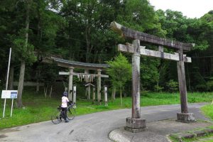


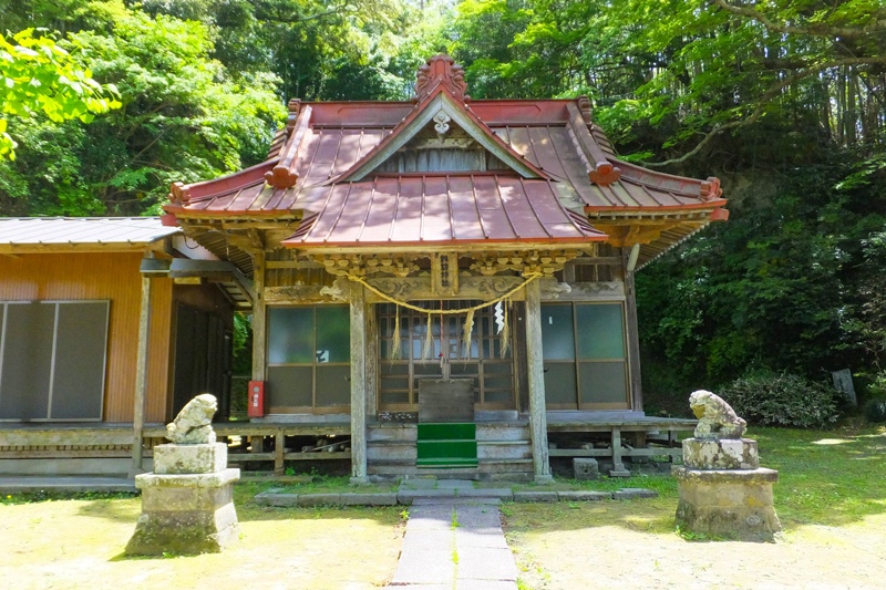
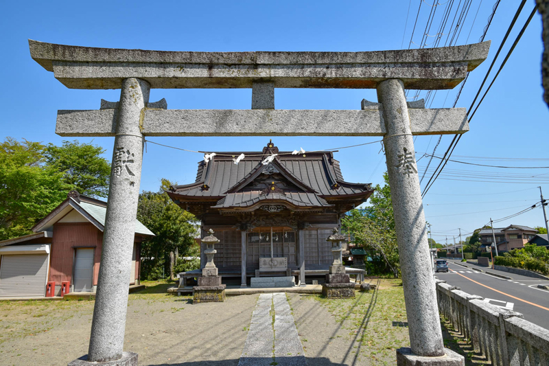
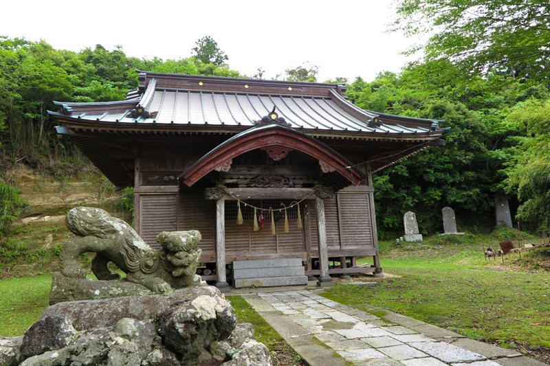
睦沢町の周辺にある寺社を巡るルート。道の駅をスタートしてすぐの諏訪神社は境内の裏に「瞳のトンネル」と呼ばれる映えスポットあり。八坂神社には千葉県が誇る「波の伊八」作品を予約無しで見ることが出来るのがありがたい。いすみ市に入ると田園風景にひっそり佇む神社が多く癒やされる。中盤には朱色の山門が印象的な行元寺へ。県道を北上し睦沢町に戻り、ややキツい坂を上ると妙楽寺に到着。国の重要文化財である木造大日如来像は一見の価値ありだ
A route that goes around the temples and shrines around Mutsuzawa-cho. Right after starting the roadside station, Suwa Shrine has a beautiful spot called the “Tunnel of Eyes” behind the precincts. I'm thankful to be able to see the “Nami no Ihachi” work that Chiba Prefecture is proud of at Yasaka-jinja Shrine without a reservation. When you enter Isumi City, you will be healed by the many shrines that stand quietly in the rural landscape. In the middle, I went to Gyogen-ji Temple, which has an impressive vermilion gate. Go north on the prefectural road and return to Mutsuzawa-cho, and when you go up a slightly steep hill, you arrive at Myorakuji Temple. The wooden statue of Dainichi Nyorai, which is an important cultural property of the country, is worth seeing
千葉県睦沢町は房総半島の中央部からやや東南にあり、比較的平坦な土地となっている。町内には駅がないので道の駅を起点とするのが良いだろう。道の駅むつざわには、レンタサイクルもありフラッと立ち寄ってサイクリングを楽しむこともできる。日帰り温泉施設も併設しているのが嬉しい。中・上級者は足を伸ばして九十九里の海を楽しみつつ、いすみ市・大多喜町をグルッと1周すると充分に満足できるはずだ!
マップ詳細へ※オンラインの地図上でサイクリングルートが閲覧できるウェブサイト「ルートラボ」が2020年3月末でサービス終了したため、「bikemap」に変更したことで、bikemap内の距離や高低差に誤差が生じている場合がありますが、ご理解ご了承の程、よろしくお願いします。
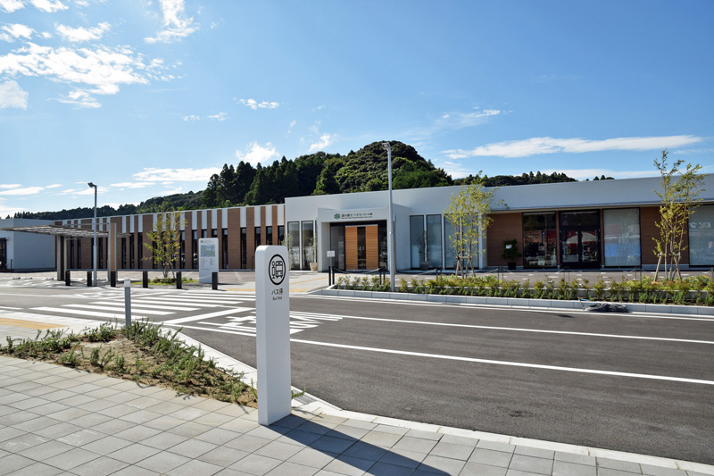
2019年にオープンした道の駅。周辺地域の魅力を発信する取り組みを行っている。産直所・イタリアンレストラン・温泉・ドッグラン・レンタサイクルなど盛りだくさん


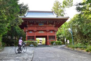
急な坂をのぼると鮮やかな朱色の山門が見えてくる。いすみ市指定文化財で慈雲閣と呼ばれる。寺院の収蔵品に「波を彫らせては天下一」と言われた初代波の伊八作品「波に宝珠」を見学することができる(要予約)
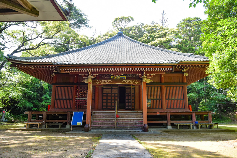
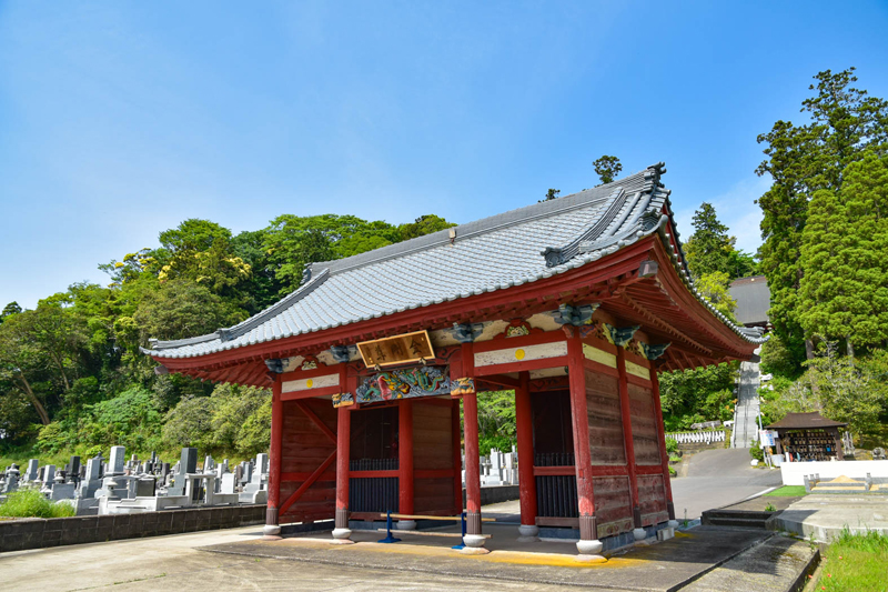
ふるさとの森の奥にある寺。国指定文化財の「木造大日如来坐像」は、普段は格子戸越しに見学できる。県内の古彫刻坐像としては東日本でも最大級である。ご開帳は1年に1日あり、間近で見ることが出来るチャンス(要確認)

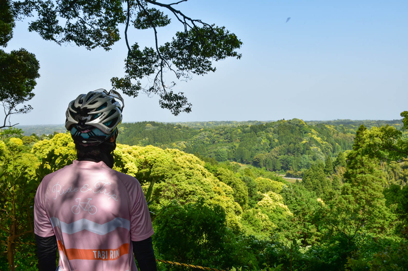
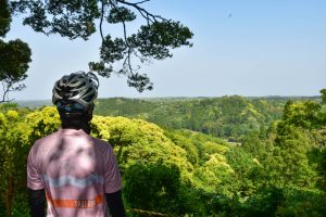
ふるさとの森駐車場から散策道を数分登ると展望スポットに到着。昔から大切に守られた森は、千葉県の指定天然記念物だ。空気が澄んでいる日は太平洋まで見渡せる
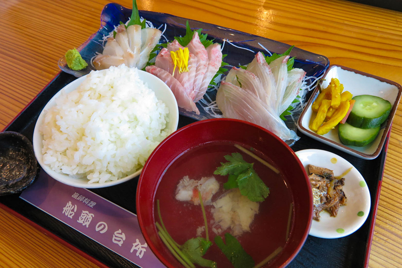
現役の漁師が経営する店。船頭が釣ってきた魚を刺身や焼き魚など、魚の持つ美味しさを活かした調理で提供してくれる。いすみ市名物の「たこ飯」や「伊勢えび」も人気
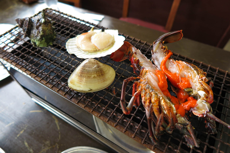
魚問屋直営の「海鮮・浜焼き」の店。厳選した素材をリーズナブルに提供している。大原漁港で獲れたばかりの伊勢海老を豪快に網焼きしていただける贅沢を体感しよう。他にも刺身定食などあり
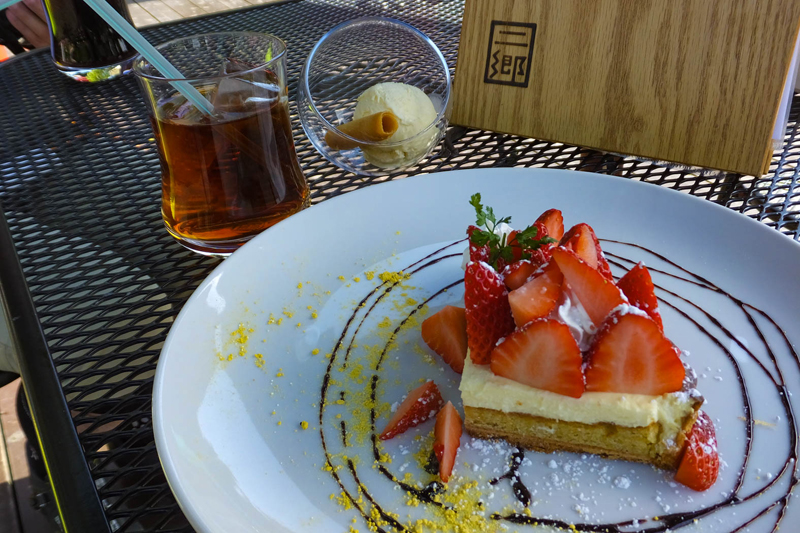
山の中にあり大自然を堪能できるカフェレストラン。広いテラス席で風を感じながらいただく石窯で焼くピザは絶品。ランチの他に季節のデザートもあり、たびたび訪れたくなる
