![]()
![]()
![]()
![]()
![]()
![]()
![]()
![]()

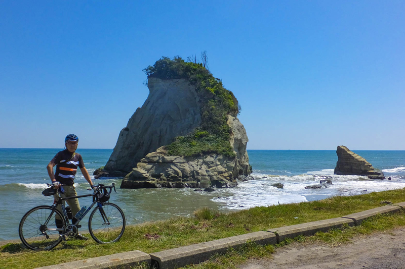


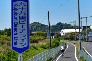
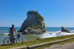

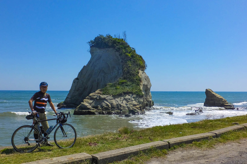
道の駅をスタートして海と里山風景を楽しめるグルッと1周ルート。距離もほどよくスポーツ自転車ビギナーでも走りきれるルートだ。睦沢町の県道を走り太平洋へ。九十九里の海岸沿いに続く大原自転車道を南下。灯台や歴史ある寺社に立ち寄りつつ、大原漁港へ。伊勢エビとタコ飯で有名な地元グルメを堪能。その後は細かなアップダウンはあるもののさほどキツい坂はない。しばらくコンビニも店もないエリアを走るので補給食を用意しておくと良いだろう。いすみ鉄道を渡って、ポッポの丘や高秀牧場に寄り道しつつ道の駅へ戻る
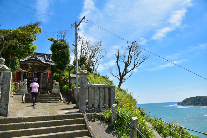
Start at the roadside station and enjoy a full circle route where you can enjoy the ocean and satoyama scenery. The distance is just right, and it's a route that even a sports bicycle beginner can run through. Drive along the prefectural road in Mutsuzawa-cho to the Pacific Ocean. Go south on the Ohara bicycle path that continues along the Kujukuri coast. Visit Ohara fishing port while stopping at lighthouses and historic temples and shrines. Enjoy local cuisine famous for spiny lobster and octopus rice. After that, there were minor ups and downs, but it wasn't that difficult. I'm going to run in an area where there are no convenience stores or stores for a while, so it's a good idea to prepare supplementary meals. Cross the Isumi Railway and return to the roadside station while taking a detour to Poppo no Oka and Takahide Ranch
千葉県睦沢町は房総半島の中央部からやや東南にあり、比較的平坦な土地となっている。町内には駅がないので道の駅を起点とするのが良いだろう。道の駅むつざわには、レンタサイクルもありフラッと立ち寄ってサイクリングを楽しむこともできる。日帰り温泉施設も併設しているのが嬉しい。中・上級者は足を伸ばして九十九里の海を楽しみつつ、いすみ市・大多喜町をグルッと1周すると充分に満足できるはずだ!
マップ詳細へ※オンラインの地図上でサイクリングルートが閲覧できるウェブサイト「ルートラボ」が2020年3月末でサービス終了したため、「bikemap」に変更したことで、bikemap内の距離や高低差に誤差が生じている場合がありますが、ご理解ご了承の程、よろしくお願いします。
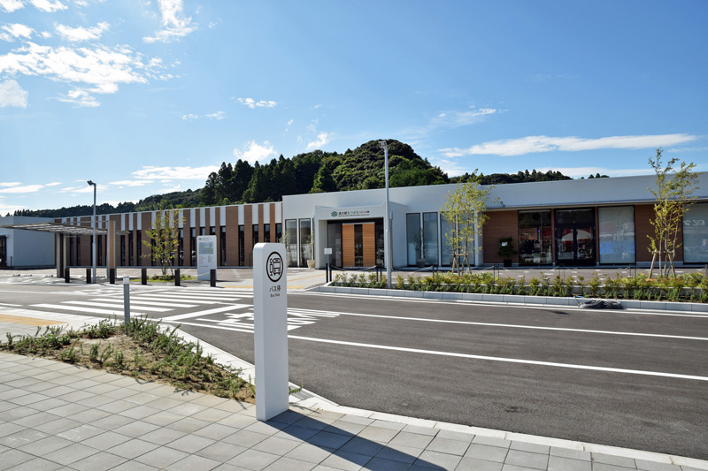
2019年にオープンした道の駅。周辺地域の魅力を発信する取り組みを行っている。産直所・イタリアンレストラン・温泉・ドッグラン・レンタサイクルなど盛りだくさん
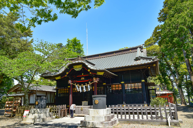
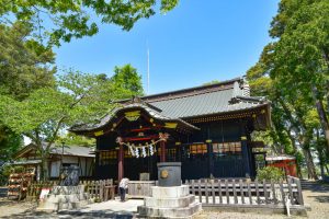
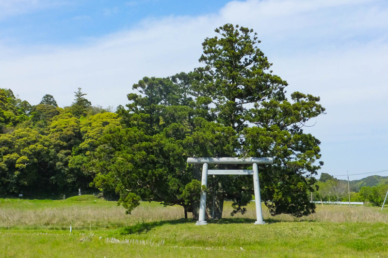
関東屈指のパワースポットとして女性に人気の神社。縁結び・子授け・安産などに御利益があるといわれる。黒漆塗り権現造りの社殿は珍しい。一周無事に走りきれるようお参りして、先に進もう!

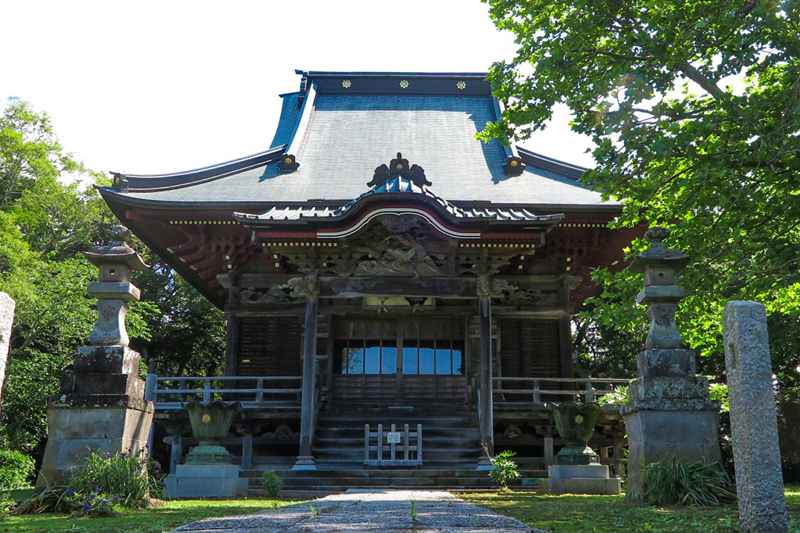
波を彫らせたら天下一品と称された初代伊八の「牛若丸と天狗」で有名。本堂向拝の他にも随所に天狗の彫刻が見られる。仁王門には波乗りをしている天狗もいるので探してみよう
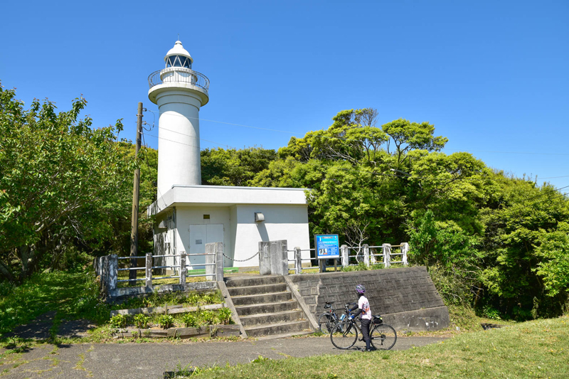
九十九里浜最南端に位置する灯台で日の出スポットしても有名。灯台の手前は急な坂道なので気合いを入れて上ろう。展望台からは太平洋の水平線が一望できる

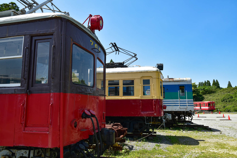
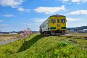
2021年で開設10周年を迎える引退車両を保存展示している施設。地元で採れた卵を使ったTKG(たまごかけごはん)も人気。鉄道マニアから子供連れのファミリーまで楽しめる
約150頭の乳牛を飼育している牧場内では、絞りたての牛乳を使ったジェラートやチーズの販売をしている。テラス席で牧場の景色を眺めながらいただくジェラートは格別