コース・マップ検索
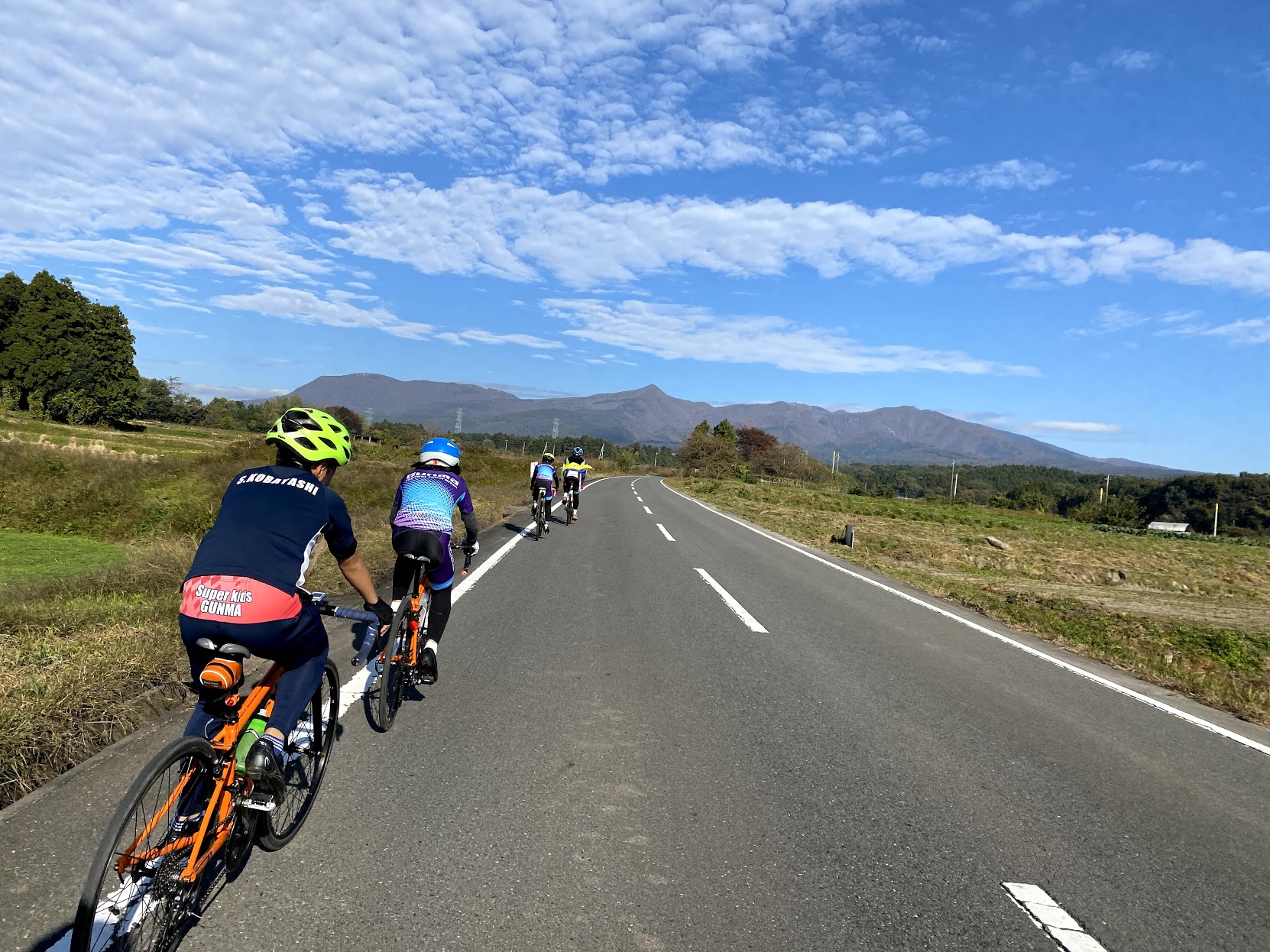
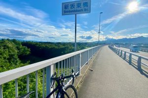
赤城南麓利根川サイクリング
距離 Distance:
45.4km
獲得標高 上り Elevation Gain (Up):
661m
獲得標高 下り Elevation Gain (Down):
740m
最大標高差 Maximum elevation difference:
ー
関東平野を見下ろす高原サイクリング
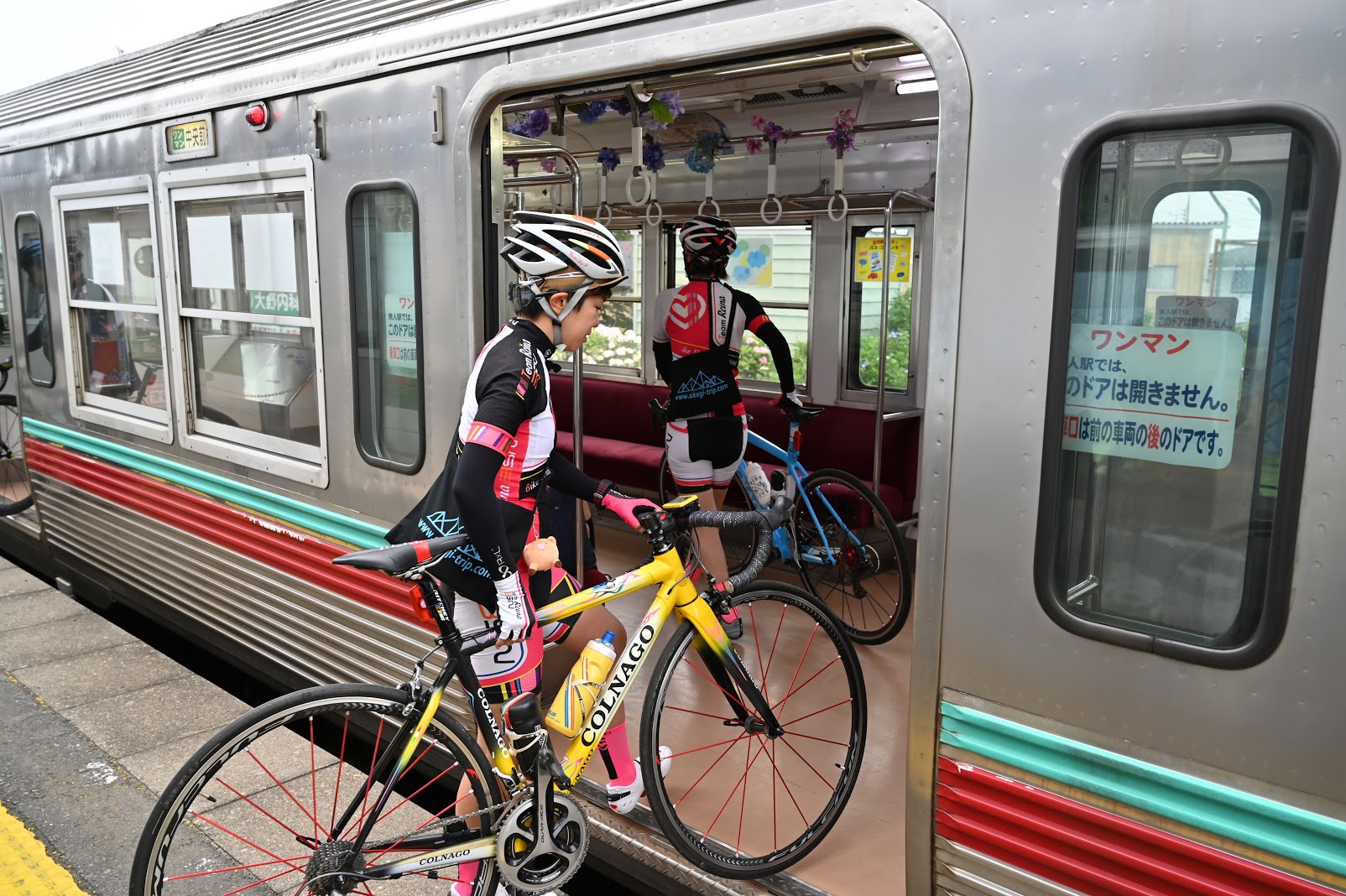
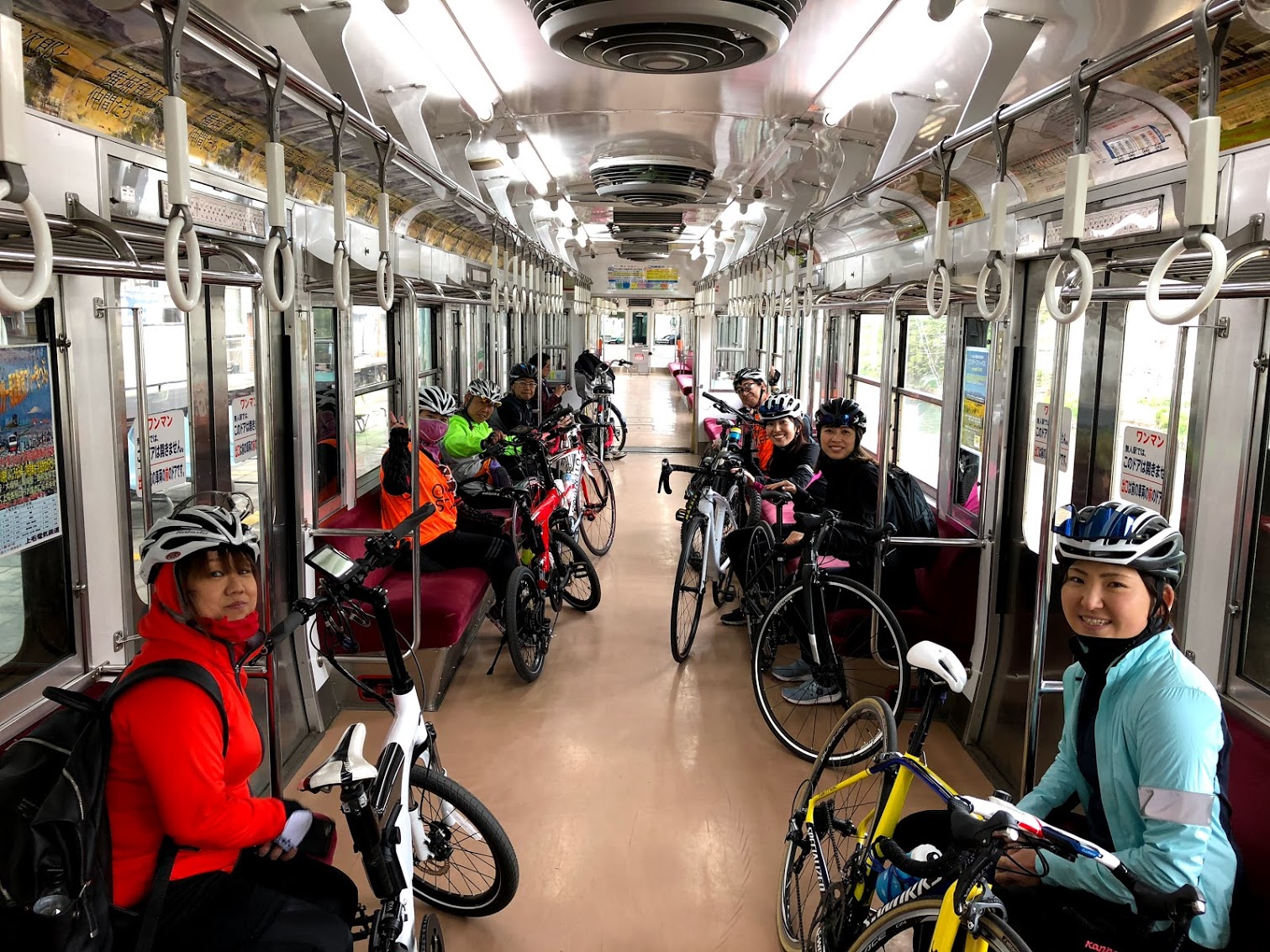
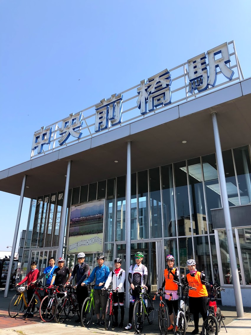
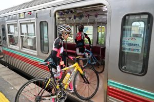
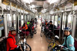
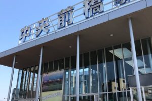
日本では珍しい電車賃のみで自転車をそのまま載せられるサイクルトレインを利用して、上毛電鉄中央前橋駅から赤城山裾野まで楽々電車旅を楽しもう!
Highland Cycling Overlooking the Kanto Plain Let's enjoy an easy train trip from Jomo Electric Railway Chuo-Maebashi Station to Akagiyama Susono using a cycle train where you can load a bicycle as it is with only a train fare, which is rare in Japan!
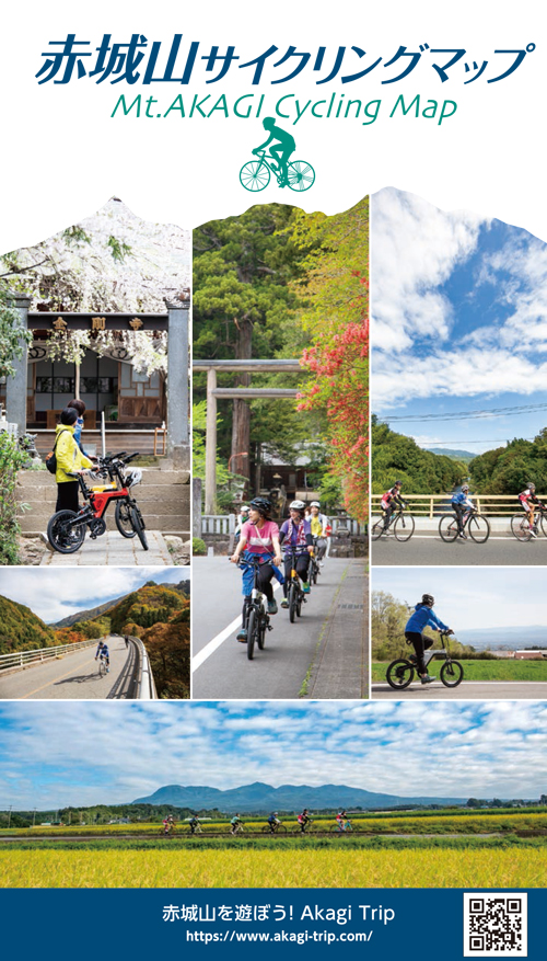
コース掲載マップ 赤城山サイクリングマップ
オススメスポット ビュースポット いきもの・植物 グルメ ショッピング 道の駅 温泉 宿泊 病院 レンタサイクル 自転車販売店 サイクリングサポート トイレ その他
※オンラインの地図上でサイクリングルートが閲覧できるウェブサイト「ルートラボ」が2020年3月末でサービス終了したため、「bikemap」に変更したことで、bikemap内の距離や高低差に誤差が生じている場合がありますが、ご理解ご了承の程、よろしくお願いします。
コース周辺スポット
全て
オススメスポット
ビュースポット
グルメ
ショッピング
道の駅
サイクリングサポート
で絞り込む
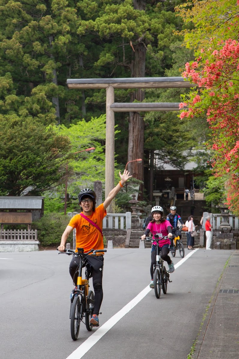
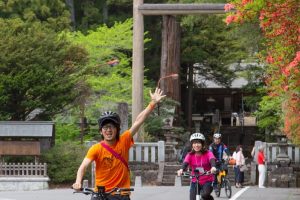
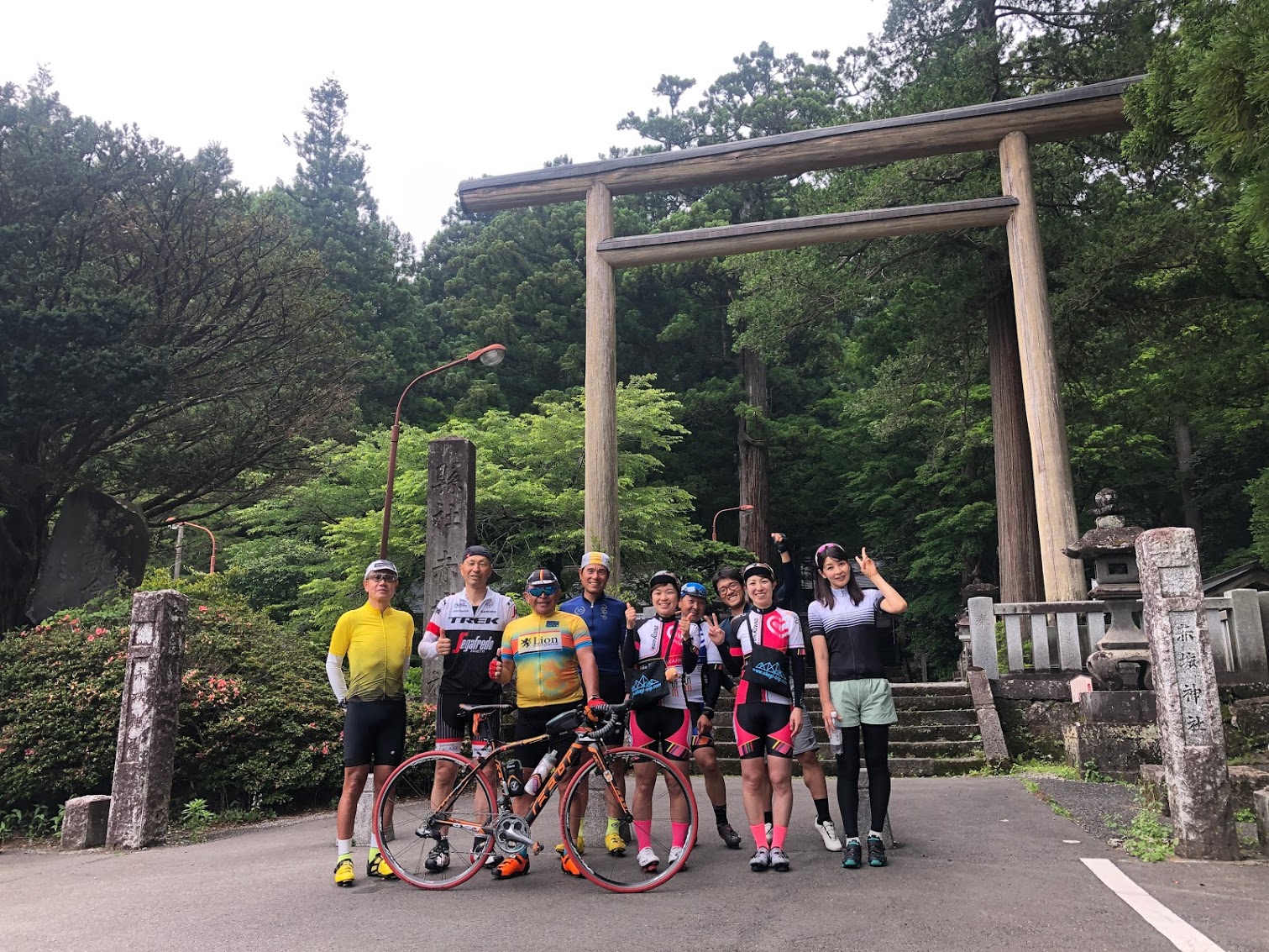
赤城神社(三夜沢)
戦国の頃には名だたる武将からも信仰のあったパワースポット。境内に入ると不思議と心が落ち着く。全国に300社ほどある赤城神社の総本山と言われる。
AKAGI Cycle Oasis(あかぎサイクルオアシス)
住所:前橋市三夜沢町114
TEL:027-283-1268(赤城神社社務所)
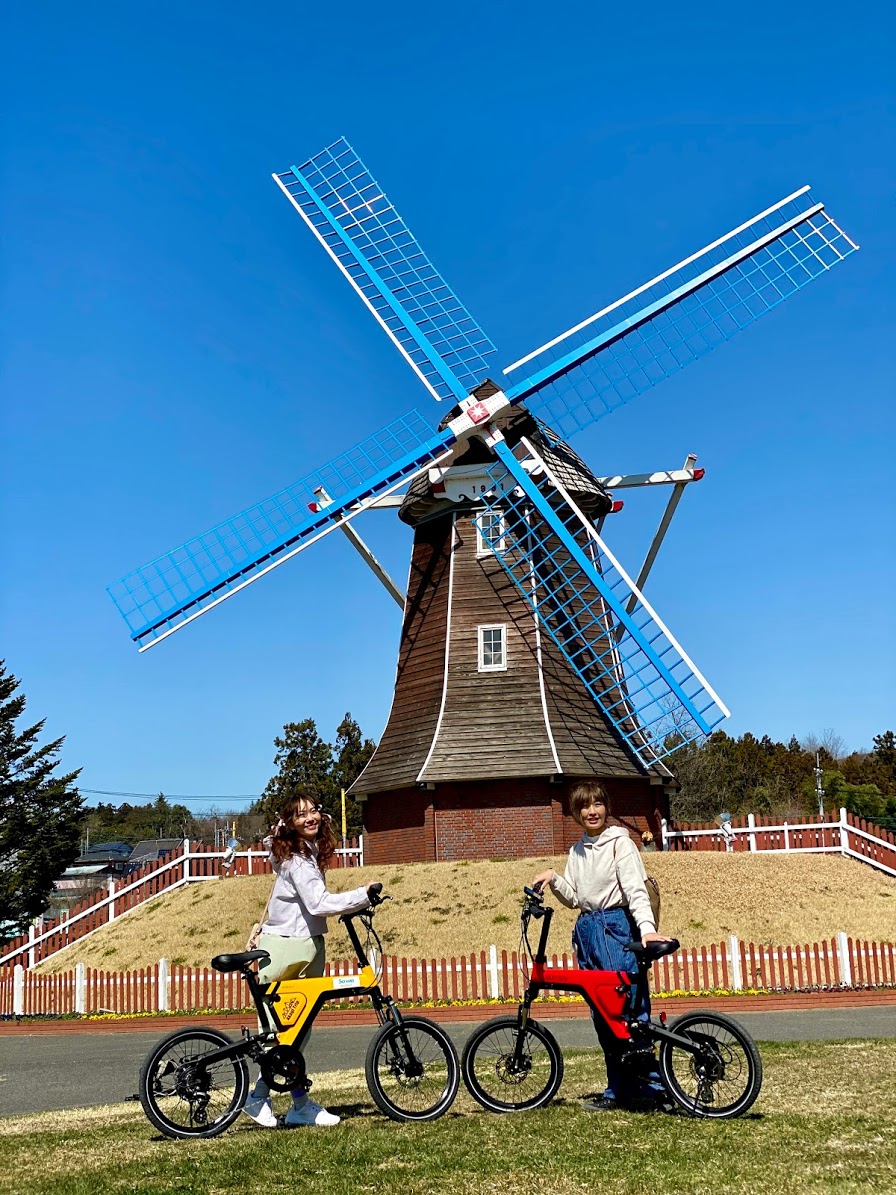
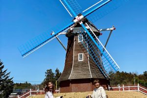
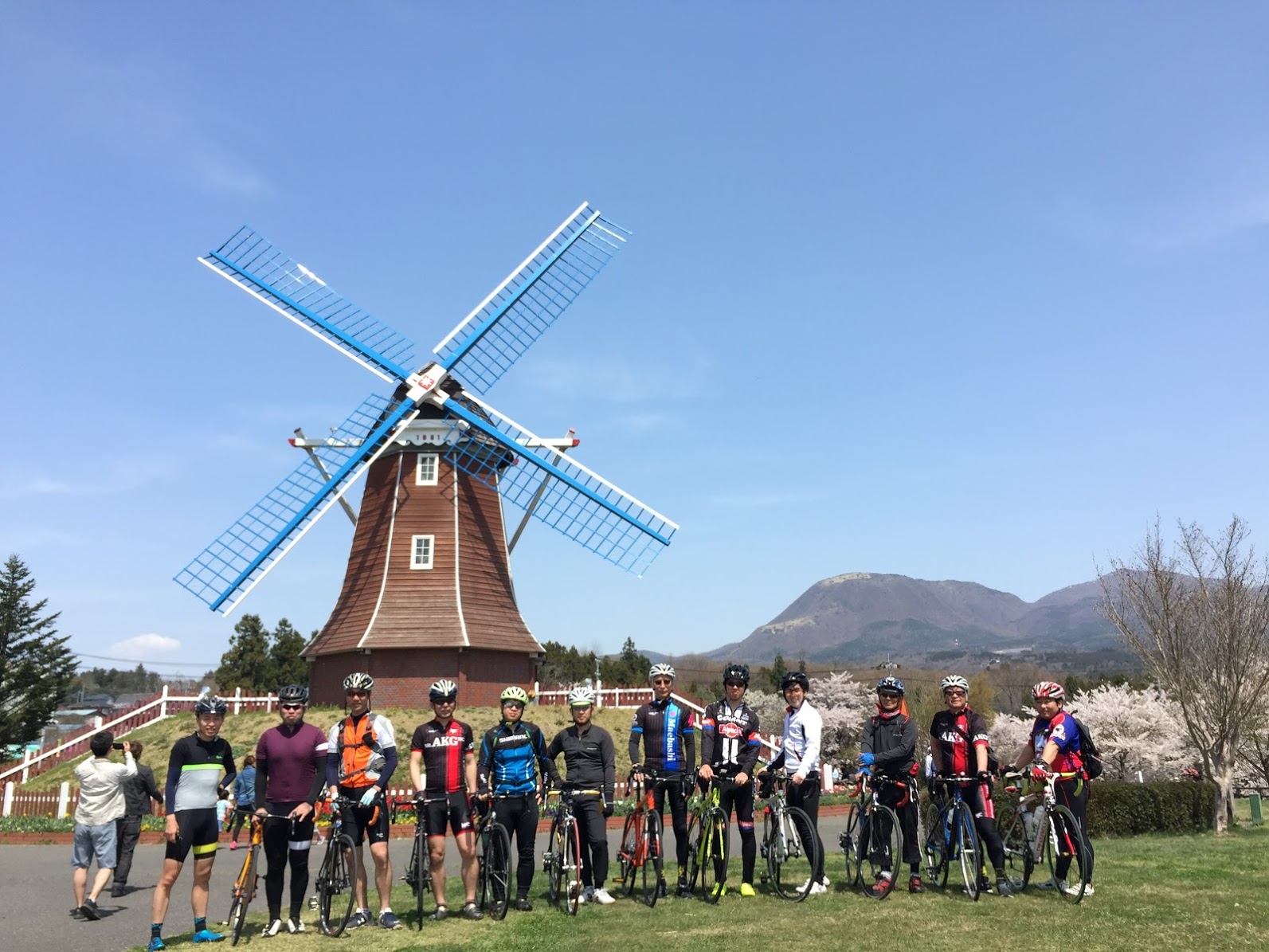
道の駅 ぐりーんふらわー牧場・大胡
大きなオランダ型風車が特徴の道の駅。地元の新鮮野菜や季節ごとのソフトクリームが人気!
住所:群馬県前橋市滝窪町1369-1
TEL:027-283-5792
営業時間:
農産物直売所:3~9月9:30~17:30 10月~2月9:30~16:30
レストハウス:3~9月10:30~16:30 10月~2月10:30~15:30
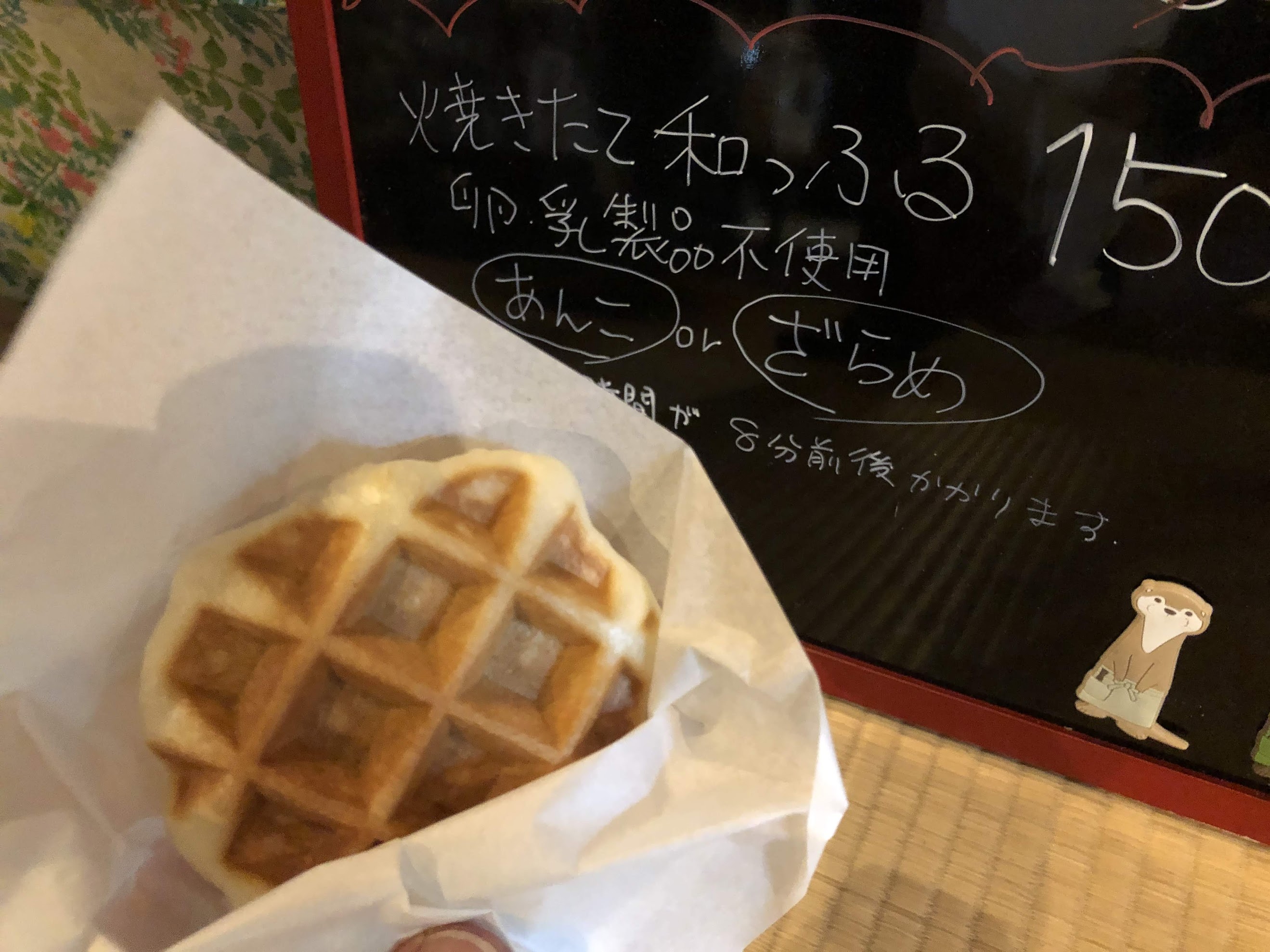
はなぶさ有機農園スイーツキッチン
自家農園の有機栽培フルーツを使ったスイーツが人気のカフェ。
AKAGI Cycle Oasis(あかぎサイクルオアシス)
住所:群馬県前橋市嶺町1097-5
TEL:027-288-8888
営業時間:
11:00~16:00
定休日:
火曜日
サイクリングカフェちゃりぐん
AKAGI Cycle Oasis(あかぎサイクルオアシス)
住所:群馬県前橋市大渡町1丁目15-1
TEL:027-896-9423
営業時間:
月: 9時00分~15時00分
火: 定休日
水: 定休日
木: 定休日
金: 11時00分~15時00分
土: 8時00分~15時00分
日: 8時00分~15時00分
定休日:
火水木
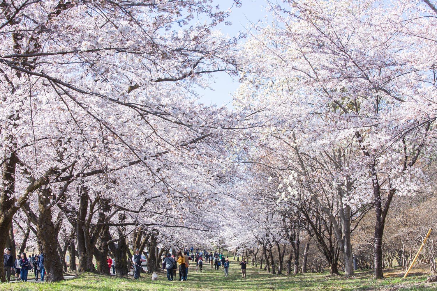
赤城南面千本桜
「さくら名所100選」に選ばれた桜の名所。並木と併設する公園には1,000本を超える桜が
住所:群馬県前橋市苗ヶ島町2511−2
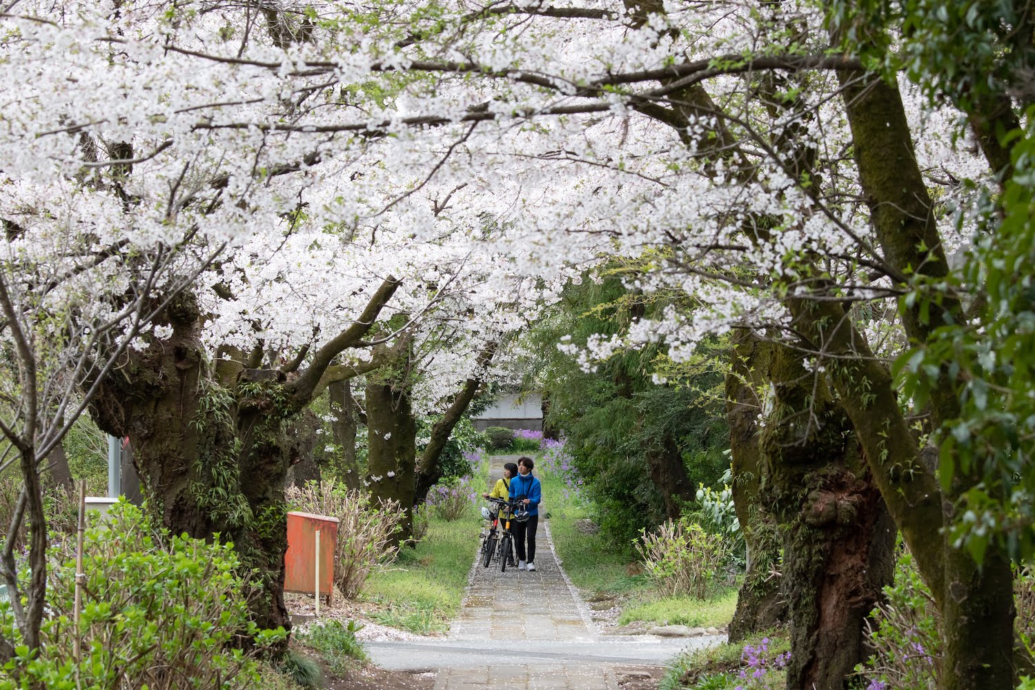
金剛寺
1898(明治31)年に植栽された長寿のソメイヨシノや、シダレザクラが美しい寺。趣ある参道の雰囲気も最高。
住所:群馬県前橋市苗ヶ島町1147
TEL:027-283-6918
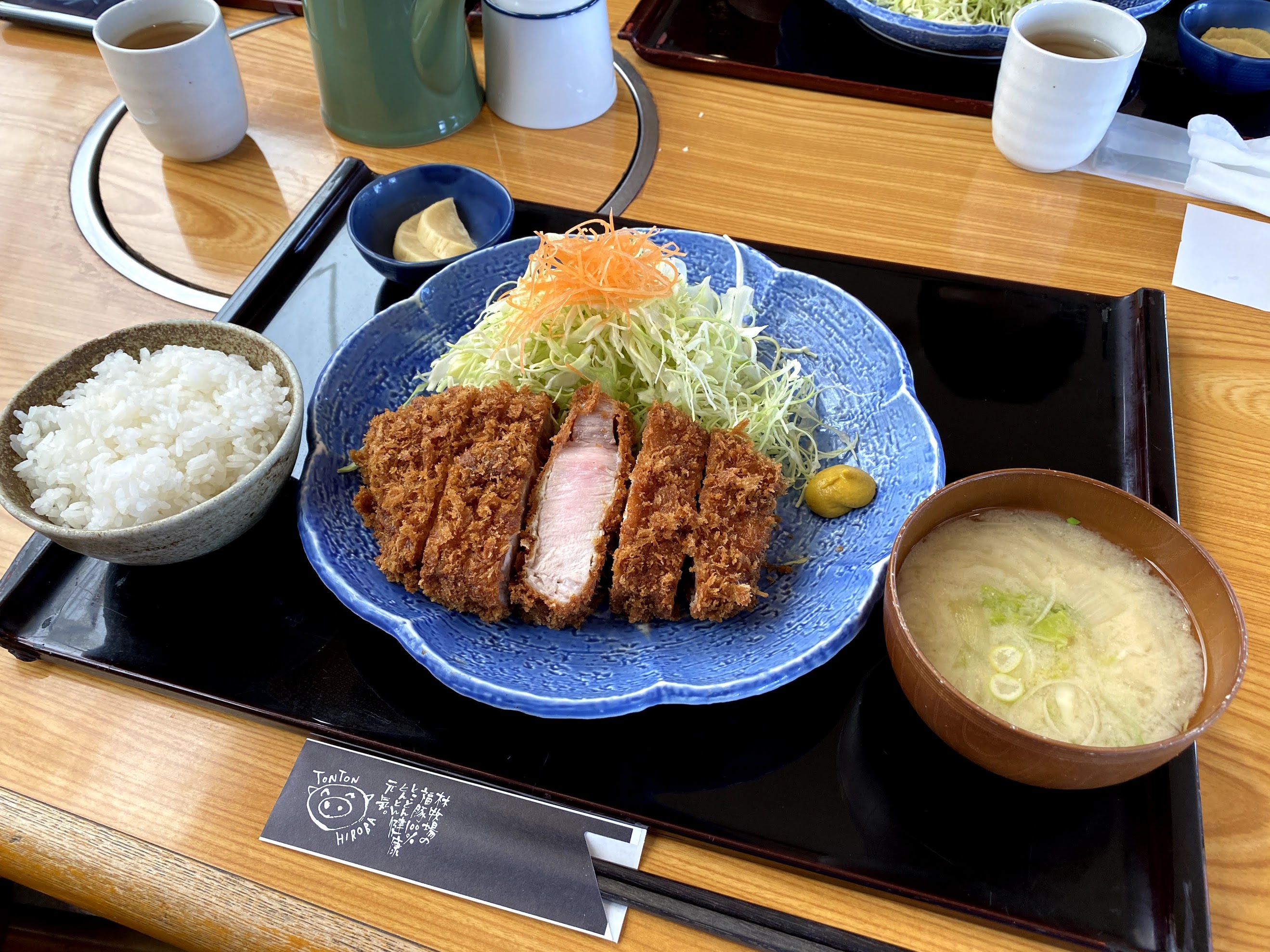
林牧場 福豚の里 とんとん広場
柔らかジューシーな福豚のとんかつやステーキが絶品。熟成生ハムなども販売。
AKAGI Cycle Oasis(あかぎサイクルオアシス)
住所:前橋市三夜沢町534
TEL:027-283-2983
営業時間:
11:00~15:00(土日は16:00まで)
定休日:
不定休
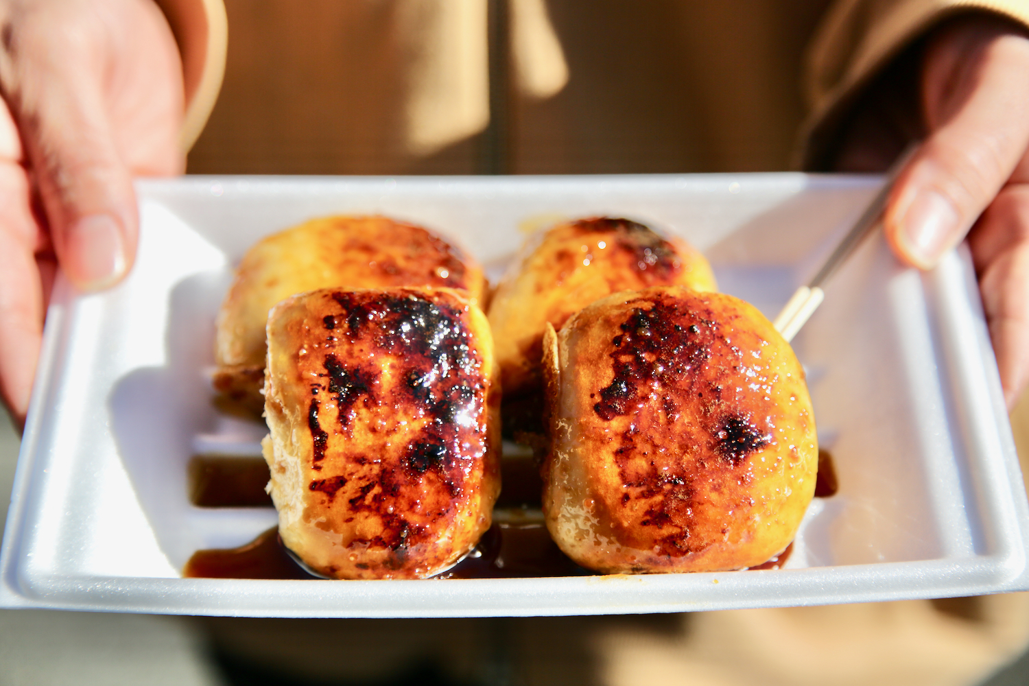
道の駅ふじみ 農産物直売所 風ラインふじみ
軽食が充実、焼きまんじゅうや、こしあん入りもちもち食感の風(ぷー)さんまんじゅうなどお好みで。
AKAGI Cycle Oasis(あかぎサイクルオアシス)
住所:前橋市富士見町石井1560-40
TEL:027-288-5422
営業時間:
9:00-17:00
定休日:
木曜休(祝日の場合は営業)
粕川農産物直売所
住所:群馬県前橋市粕川町月田372-1
TEL:027-285-6041
営業時間:
(4月~9月)9:30~18:00
(10月~3月)9:30~17:00
定休日:
第2木曜日、年末年始
新里町農産物等直売所
AKAGI Cycle Oasis(あかぎサイクルオアシス)
住所:桐生市新里町赤城山553-1
TEL:0277-74-4100
営業時間:
3月~10月 午前9時~午後5時
11月~2月 午前9時~午後4時
定休日:
1月・2月 土曜日、日曜日、祝日のみ営業
赤城山オートキャンプ場
AKAGI Cycle Oasis(あかぎサイクルオアシス)
住所:前橋市三夜沢町425−1
TEL:027-283-8368 ※電話予約
山のふもとのパン食堂Cow屋(クーヤ)
AKAGI Cycle Oasis(あかぎサイクルオアシス)
住所:前橋市富士見町皆沢315-73
TEL:027-289-0849
営業時間:
営業日 金・土・日・月 11時~17時
セブンイレブン富士見皆沢店
AKAGI Cycle Oasis(あかぎサイクルオアシス)
住所:前橋市富士見町皆沢111−2
TEL:027-288-8980
営業時間:
24H
定休日:
無休
セブンイレブン前橋川原町西原店
AKAGI Cycle Oasis(あかぎサイクルオアシス)
住所:前橋市川原町月田2丁目32-7
TEL:027-237-3039
営業時間:
24H
定休日:
無休
椿家川原店
AKAGI Cycle Oasis(あかぎサイクルオアシス)
住所:前橋市川原町2丁目1−7
TEL:027-289-3888
営業時間:
11:30-23:00
定休日:
月曜日
ケーキハウスタカノ
AKAGI Cycle Oasis(あかぎサイクルオアシス)
住所:前橋市上小出町1丁目29−9
TEL:027-235-8697
営業時間:
10:00-19:30
定休日:
月曜日
大甘堂菓子舗
AKAGI Cycle Oasis(あかぎサイクルオアシス)
住所:前橋市岩神町3丁目19−13
TEL:027-231-5892
営業時間:
9:00-18:30
定休日:
毎週月曜日