コース・マップ検索
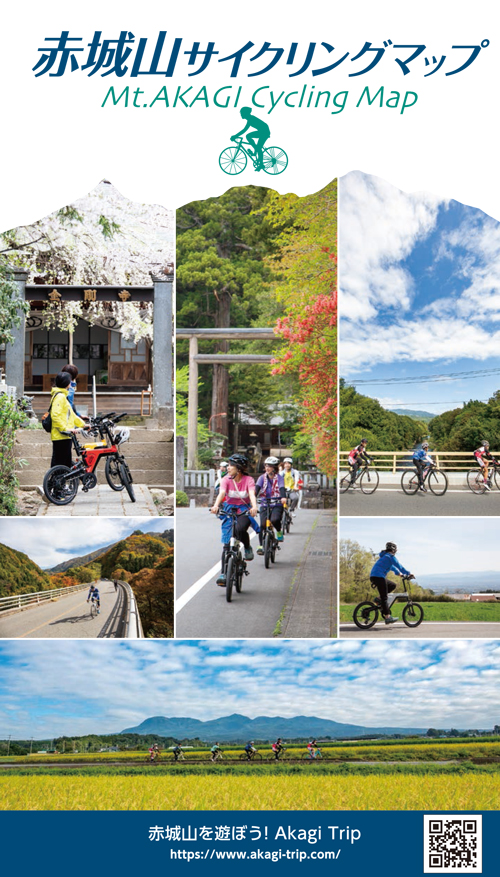
赤城山ヒルクライムコース(赤城山サイクリングマップ)
距離 Distance:
31.1km
獲得標高 上り Elevation Gain (Up):
1463m
獲得標高 下り Elevation Gain (Down):
169m
最大標高差 Maximum elevation difference:
ー
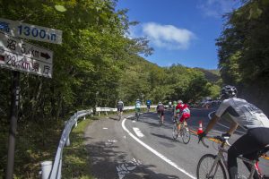
日本屈指のヒルクライムコースにチャレンジ!
日本国内のヒルクライマー達からトップクラスの人気を誇る「まえばし赤城山ヒルクライム大会」のコースは、ヒルクライム初心者が最初にチャレンジしやすいプロフィールになっています。前橋市街地からほぼ一本道で標高1,436mのヒルクライムゴール地点まで、徐々に斜度が高くなって行くので自分のペースを守りながら走るのがポイント!
Take on the challenge of one of Japan's best hill climbing courses!
コース掲載マップ 赤城山サイクリングマップ
オススメスポット ビュースポット いきもの・植物 グルメ ショッピング 道の駅 温泉 宿泊 病院 レンタサイクル 自転車販売店 サイクリングサポート トイレ その他
※オンラインの地図上でサイクリングルートが閲覧できるウェブサイト「ルートラボ」が2020年3月末でサービス終了したため、「bikemap」に変更したことで、bikemap内の距離や高低差に誤差が生じている場合がありますが、ご理解ご了承の程、よろしくお願いします。
コース周辺スポット
全て
オススメスポット
ビュースポット
グルメ
レンタサイクル
サイクリングサポート
で絞り込む
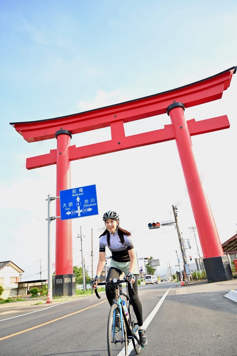
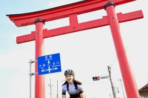
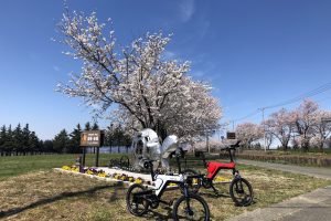
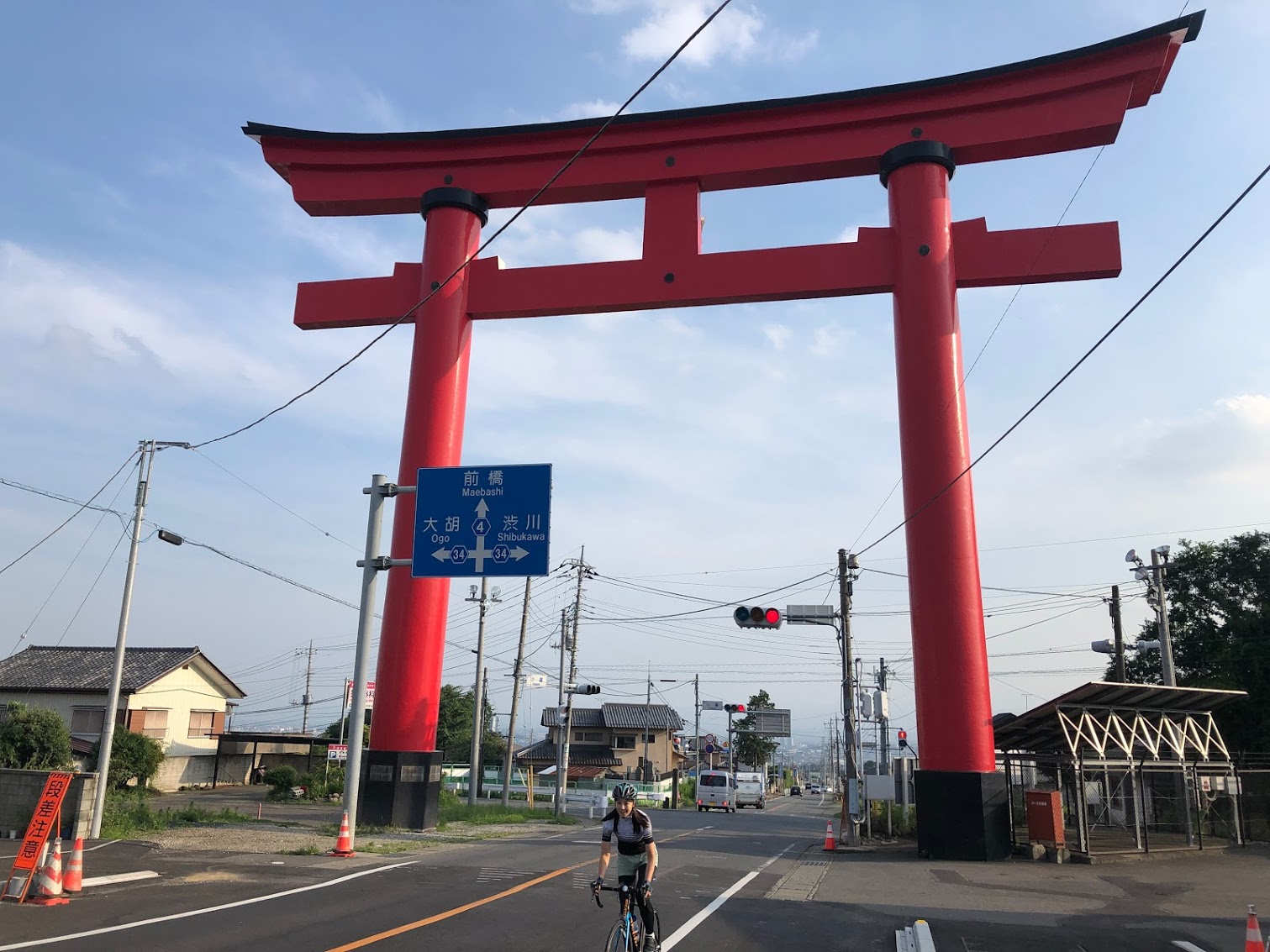
赤城の大鳥居
夜間も太陽光発電でライトアップされている赤城大鳥居は赤城山の入り口としてランドマークになっています。
住所:前橋市富士見町小暮305-4
TEL:027-235-2211
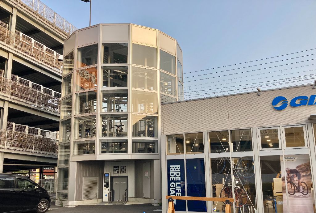
サイクルツリー前橋
住所:群馬県前橋市表町二丁目29-24
TEL:027-226-1062
料金:駐輪料金 10,000円/月
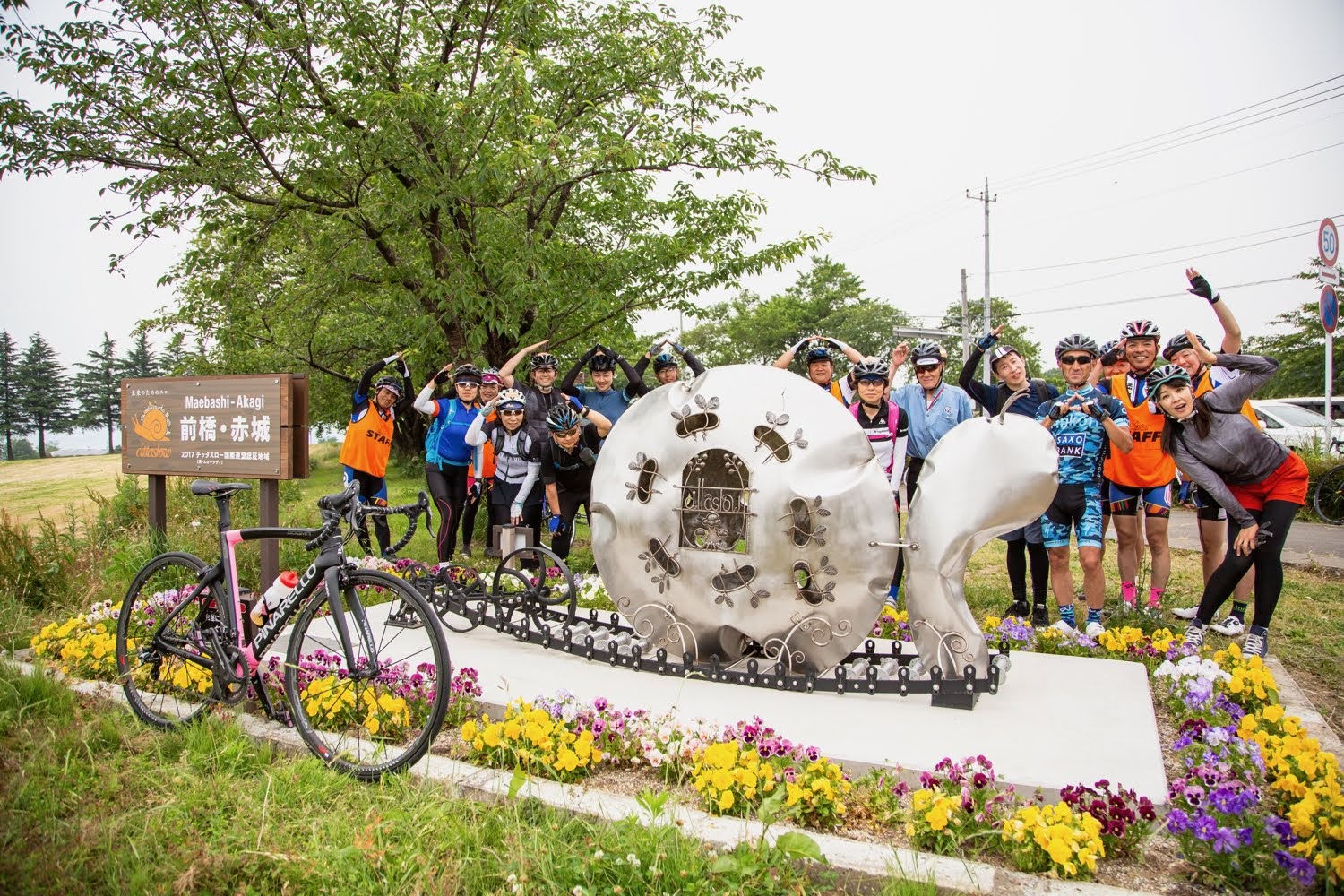
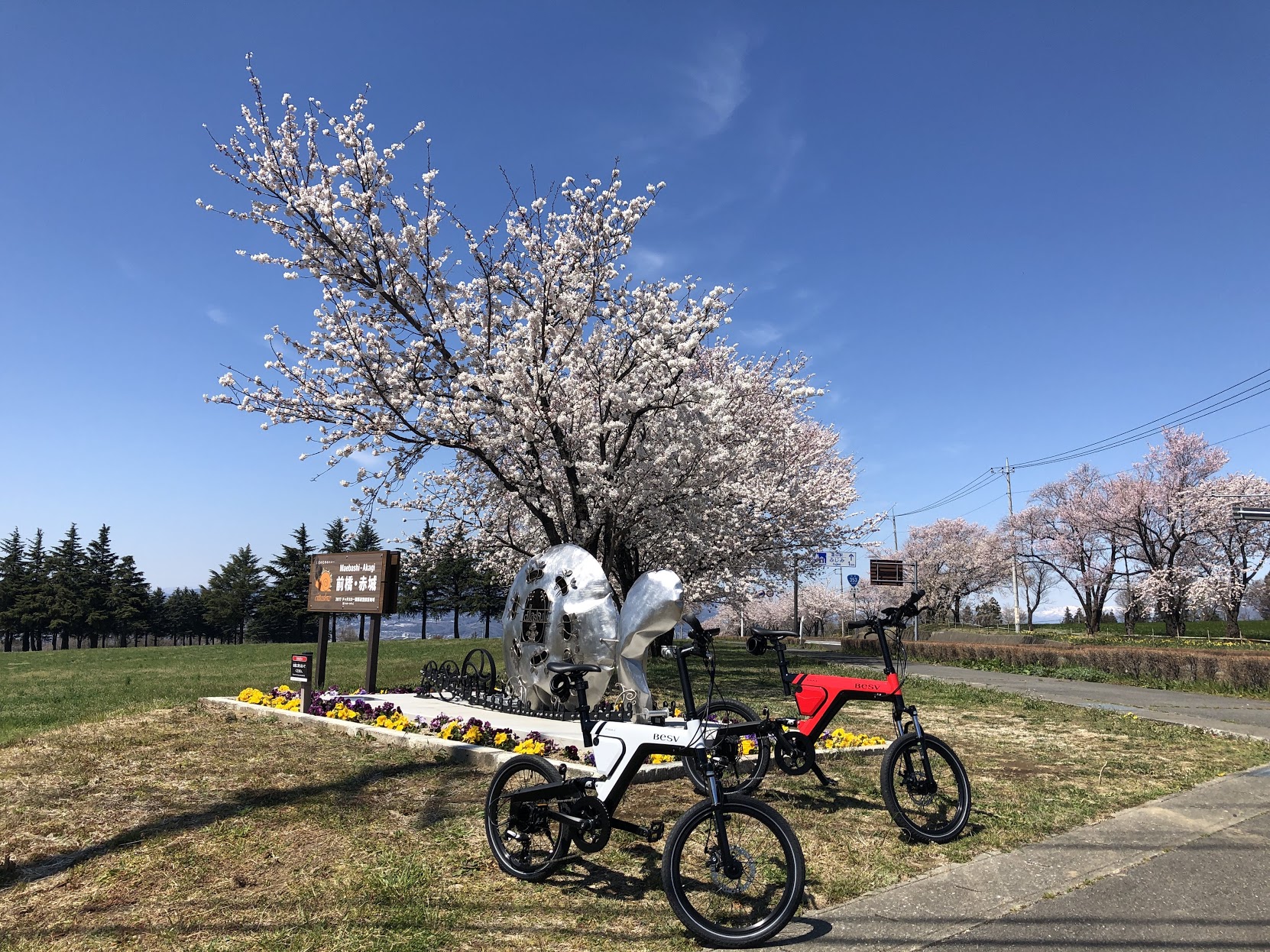
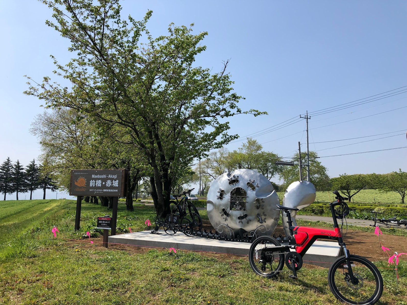
前橋・赤城スローシティ オブジェ
スローシティに国際登録された記念に建てられたカタツムリのオブジェ。
住所:群馬県前橋市富士見町小暮
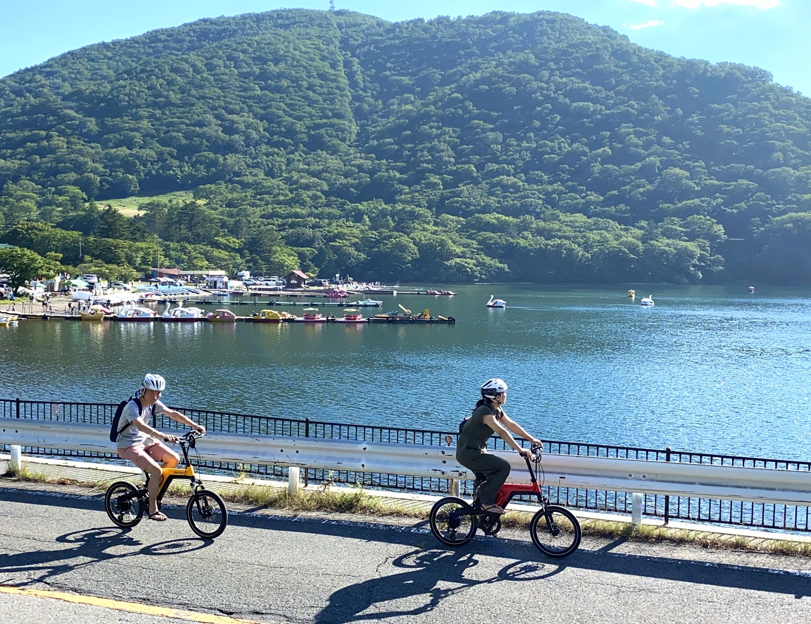
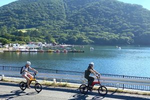
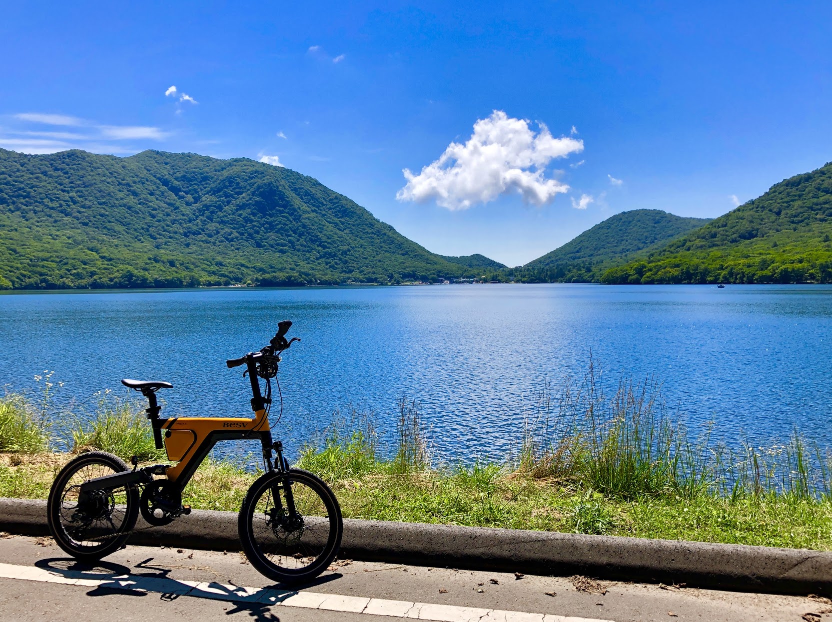
赤城大沼
1周5Kmの赤城大沼は真夏でも涼しい人気サイクリングコース!また運が良ければ雲海が眺められる鳥居峠は絶景ポイント♪
住所:群馬県前橋市富士見町赤城山
TEL:027-235-2211(前橋観光コンベンション協会)
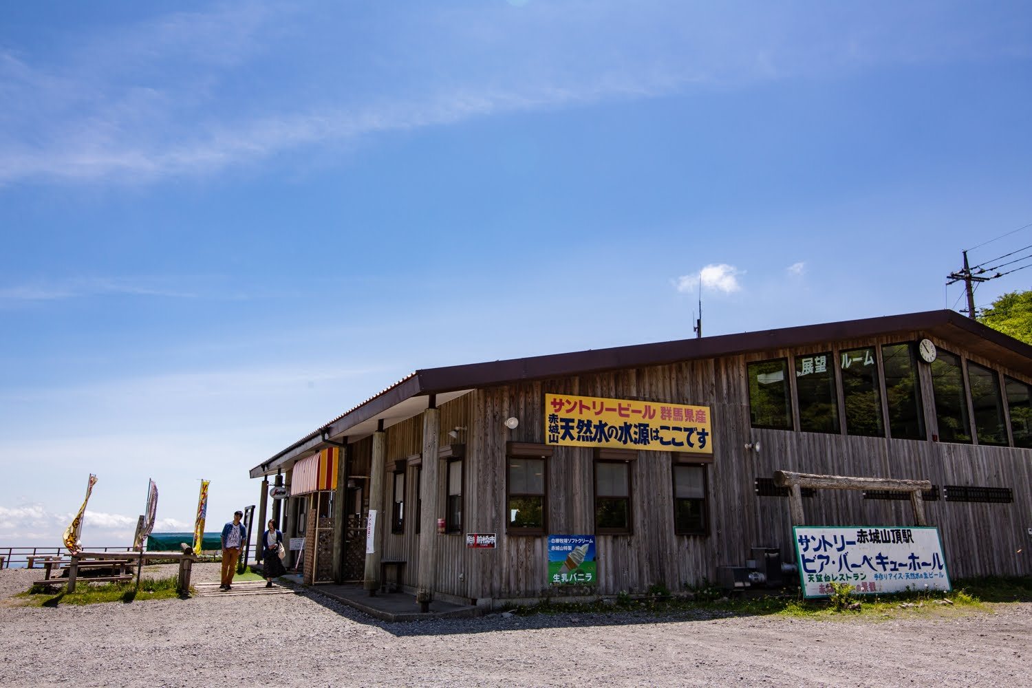
赤城山頂駅記念館サントリービア・ハイランドホール
旧駅舎を活用した眺望が素晴らしい天空のカフェ。国登録有形文化財。
AKAGI Cycle Oasis(あかぎサイクルオアシス)
住所:前橋市富士見町赤城山鳥居峠
TEL: 027-287‐8444
営業時間:
平日 10:00~16:30
土日祝 9:00~17:00
定休日:
12月~3月冬季休業、不定休
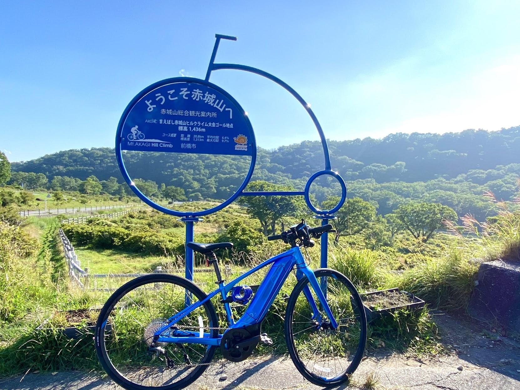
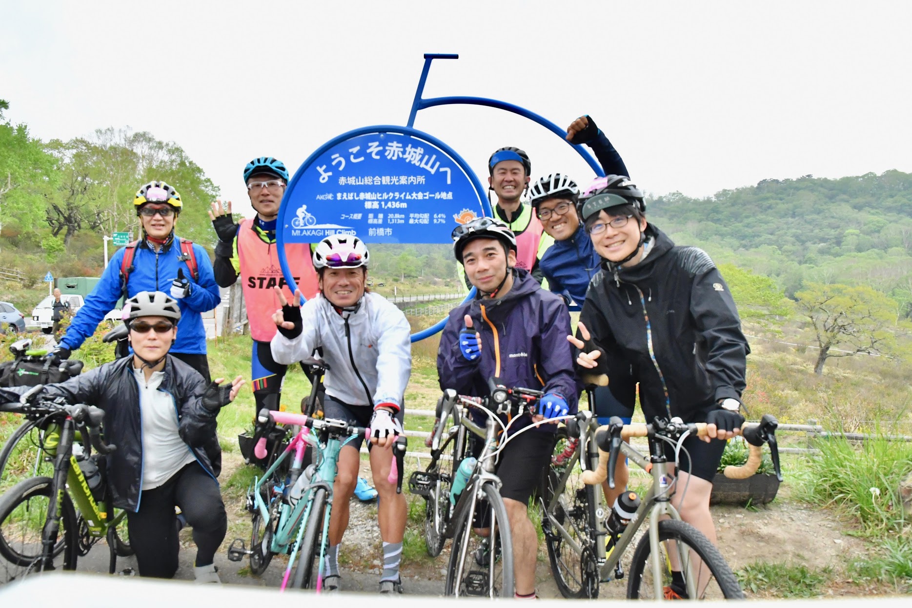
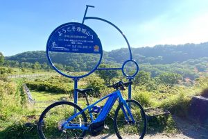
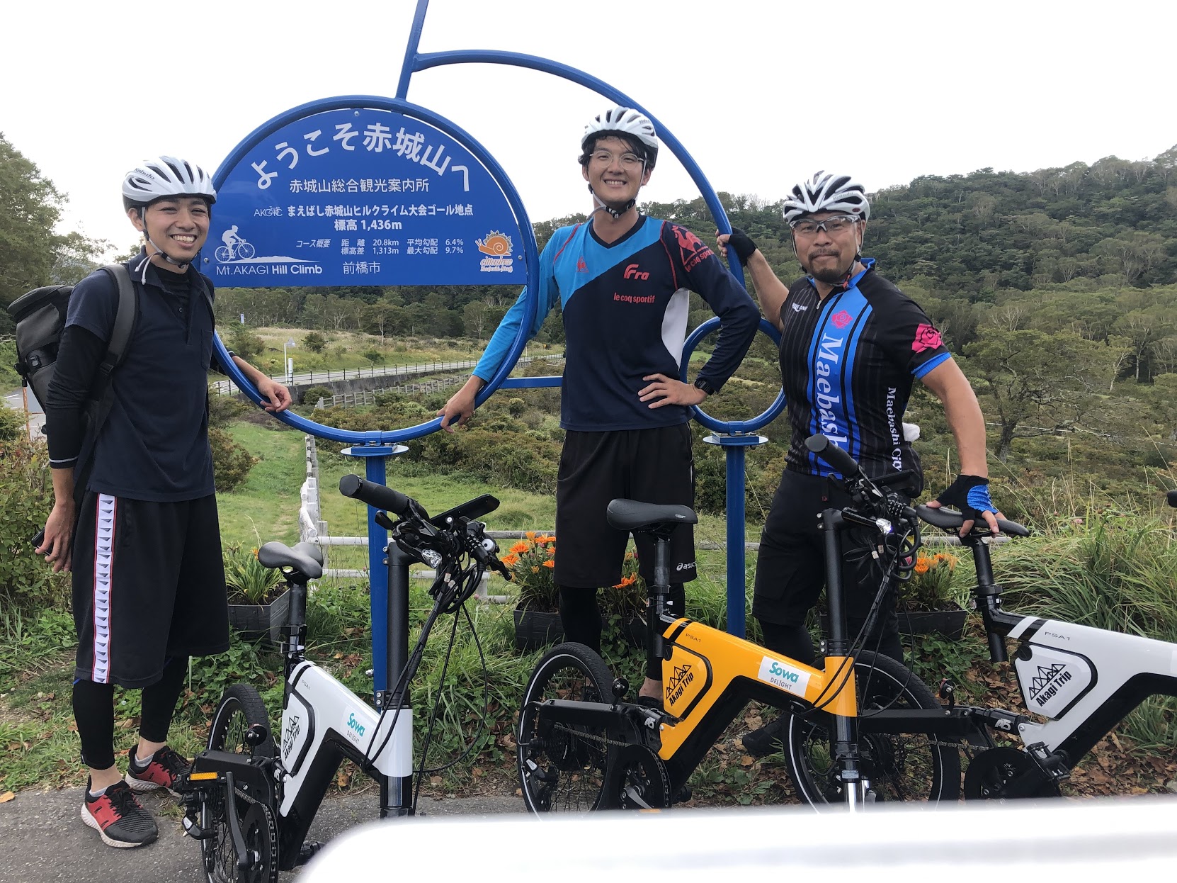
赤城山総合観光案内所(ヒルクライムゴール地点)
南側に雄大なツツジの群生が広がる白樺牧場を眺めながら自転車型ボードの前で記念撮影!
住所:群馬県前橋市富士見町赤城山1−14
TEL:027-287-8061
営業時間:
9時~16時
定休日:
火曜日(6月、7月、8月は無休・営業期間は4月中旬から11月中旬まで)
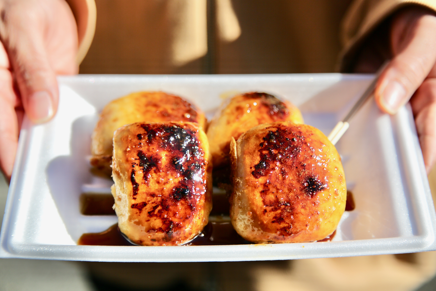
道の駅ふじみ 農産物直売所 風ラインふじみ
軽食が充実、焼きまんじゅうや、こしあん入りもちもち食感の風(ぷー)さんまんじゅうなどお好みで。
AKAGI Cycle Oasis(あかぎサイクルオアシス)
住所:前橋市富士見町石井1560-40
TEL:027-288-5422
営業時間:
9:00-17:00
定休日:
木曜休(祝日の場合は営業)
赤城山ビジターセンター
AKAGI Cycle Oasis(あかぎサイクルオアシス)
住所:前橋市富士見町赤城山1
TEL:027-287-8402
営業時間:
9:00-15:45
定休日:
月曜日
バンディ塩原
前橋名物ソースかつ丼や、おっきりこみ(うどん)などご当地グルメが豊富。
AKAGI Cycle Oasis(あかぎサイクルオアシス)
住所:前橋市富士見町赤城山33
TEL:027-287-8200
営業時間:
9:00-17:00
定休日:
不定休
赤城山湖山
AKAGI Cycle Oasis(あかぎサイクルオアシス)
住所:前橋市富士見町赤城山2
TEL:027-287-8348
営業時間:
9:00-17:00
定休日:
12月~3月は休業
青木旅館(レストラン沼尻)
150年以上の歴史をもつ老舗旅館。併設のレストランのワカサギ定食が人気。
AKAGI Cycle Oasis(あかぎサイクルオアシス)
住所:前橋市富士見町赤城山8
TEL:027-287-8511
営業時間:
11:00~15:00
定休日:
不定休
赤城箕嶺
AKAGI Cycle Oasis(あかぎサイクルオアシス)
住所:前橋市富士見町赤城山2202
TEL:027-287-8810
営業時間:
10:00-18:00
定休日:
12月~3月 冬季休業
セブンイレブン富士見皆沢店
AKAGI Cycle Oasis(あかぎサイクルオアシス)
住所:前橋市富士見町皆沢111−2
TEL:027-288-8980
営業時間:
24H
定休日:
無休
焼肉の家あずさ
AKAGI Cycle Oasis(あかぎサイクルオアシス)
住所:前橋市富士見町小暮2313−1
TEL:027-288-8006
営業時間:
定休日:
木曜日
セブンイレブン前橋富士見大鳥居店
AKAGI Cycle Oasis(あかぎサイクルオアシス)
住所:前橋市富士見町小暮282−1
TEL:027-288-1272
営業時間:
24H
定休日:
無休
らーめん我礫
AKAGI Cycle Oasis(あかぎサイクルオアシス)
住所:前橋市富士見町時沢100−1
TEL:070-5073-1234
営業時間:
11:00-23:00
定休日:
無休
セブンイレブン前橋北代田町店
AKAGI Cycle Oasis(あかぎサイクルオアシス)
住所:前橋市北代田町673−7
TEL:027-232-3277
営業時間:
24H
定休日:
無休
セブンイレブン前橋上沖町店
AKAGI Cycle Oasis(あかぎサイクルオアシス)
住所:前橋市上沖町152−4
TEL:027-237-5586
営業時間:
24H
定休日:
無休
パン工房くるみの森
AKAGI Cycle Oasis(あかぎサイクルオアシス)
住所:前橋市下細井町2312−2
TEL:027-235-9638
営業時間:
07:30-19:30
定休日:
月曜日