


![]()
![]()
![]()
![]()
![]()
![]()
![]()
![]()


国際スポーツ大会ルートの一部を駆け抜けろ!
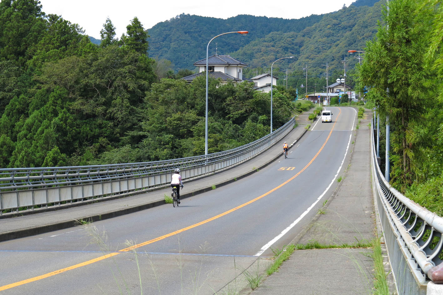
神奈川県橋本駅をスタートし、道志みちを走り山梨県に入り、山中湖でゴールするという国際スポーツ大会ルートの一部を走るルートとなる。ゴールの山中湖では、天気が良ければ目の前に富士山が広がり最高のゴールとなること間違い無しだ。距離的に短いと感じるかもしれないが、アップダウンが多く想像以上にタフなルートとなっている。道志村にはコンビニや商店が少なく、大きな休憩スポットは道の駅どうしとなるので、補給食やドリンクの用意は万全にしておく必要がある
Run through part of the international sports competition route!
It is a route that runs as part of an international sports tournament route that starts at Hashimoto Station in Kanagawa Prefecture, runs along Doshi Road, enters Yamanashi Prefecture, and finishes at Lake Yamanaka. At the goal, Lake Yamanaka, if the weather is good, Mt. Fuji will spread out right in front of you, and there is no doubt that it will be the best goal. You may feel that it is short in terms of distance, but there are many ups and downs, and it is a tougher route than you can imagine. There are few convenience stores and shops in Doshi Village, and the big rest spots are at the roadside stations, so it is necessary to prepare all possible supplementary meals and drinks
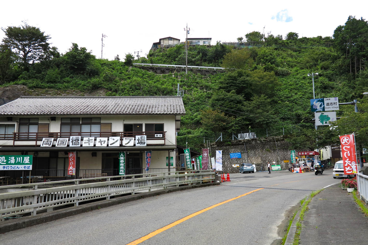
神奈川県相模原市の青山交差点から山梨県山中湖村につづく国道413号の事を「道志みち」という。神奈川県のエリアは約14キロほど。道志村を通る国道沿いには清流・道志川が流れ、キャンプ場が30以上もあり「キャンプ場の聖地」とも呼ばれる自然豊かな場所だ。
もともと多くのサイクリストが訪れる人気の場所ではあったが、ここ数年は国際スポーツ大会の影響でさらに増えている。道志村ではサイクルサポートステーションを数多く設置し、サイクリストが安心快適に楽しめるサポートもしてくれている。世界トップクラスの自転車競技選手が走るルートを体感するために、ぜひ道志みちを訪れてみよう!
マップ詳細へ※オンラインの地図上でサイクリングルートが閲覧できるウェブサイト「ルートラボ」が2020年3月末でサービス終了したため、「bikemap」に変更したことで、bikemap内の距離や高低差に誤差が生じている場合がありますが、ご理解ご了承の程、よろしくお願いします。
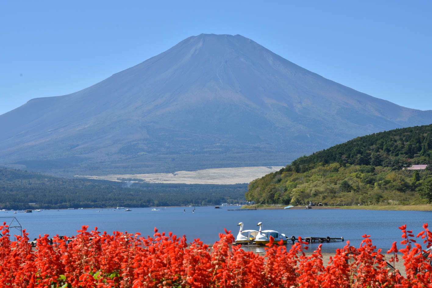
富士五湖の中で最大の面積で、最も標高が高い位置にある湖。昔は形が牛に似ていると「臥牛湖」と呼ばれたが、最近では「クジラ」と言われる。湖畔には眺望スポットが多いため、カメラマンにも人気が高い。風が弱く湖面が穏やかになると美しい逆さ富士も見ることができる
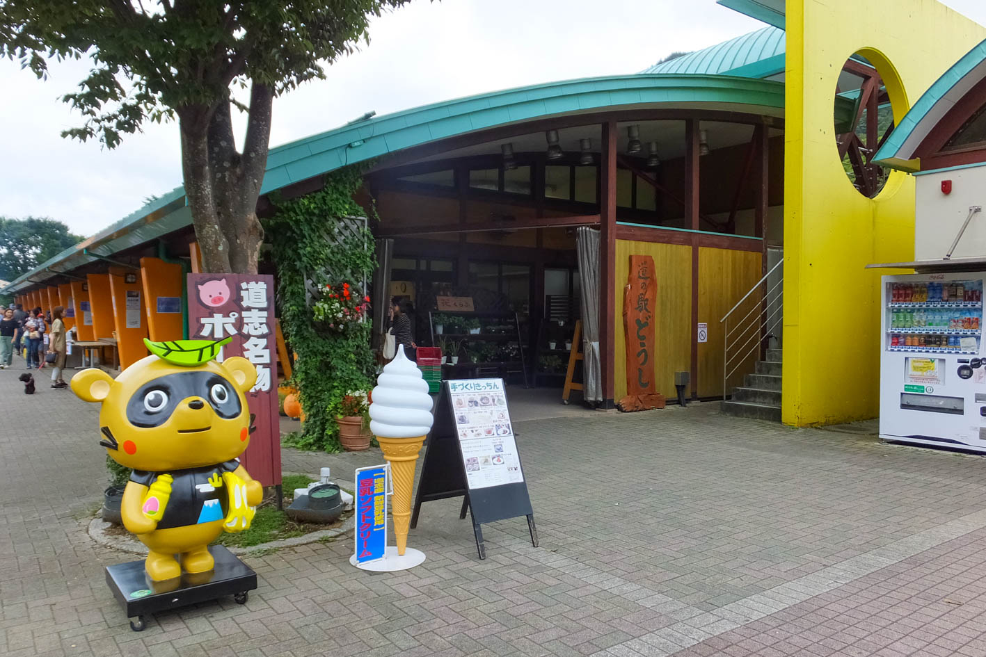
休日には自転車はもちろん、車やオートバイも多く訪れる人気の道の駅。村で採れた食材を味わえるレストランや特産品が並ぶ売店などで賑わう
都留市への県道分岐点。空気が澄んでいれば富士山の頭が望める。脇の歩道に東屋と四里塚の石碑がある。この後の山伏峠まで走れない場合は、ここから県道に入り都留市駅から輪行して戻ることが可能。ただし道坂峠(トンネル)までは約5kmの上り坂
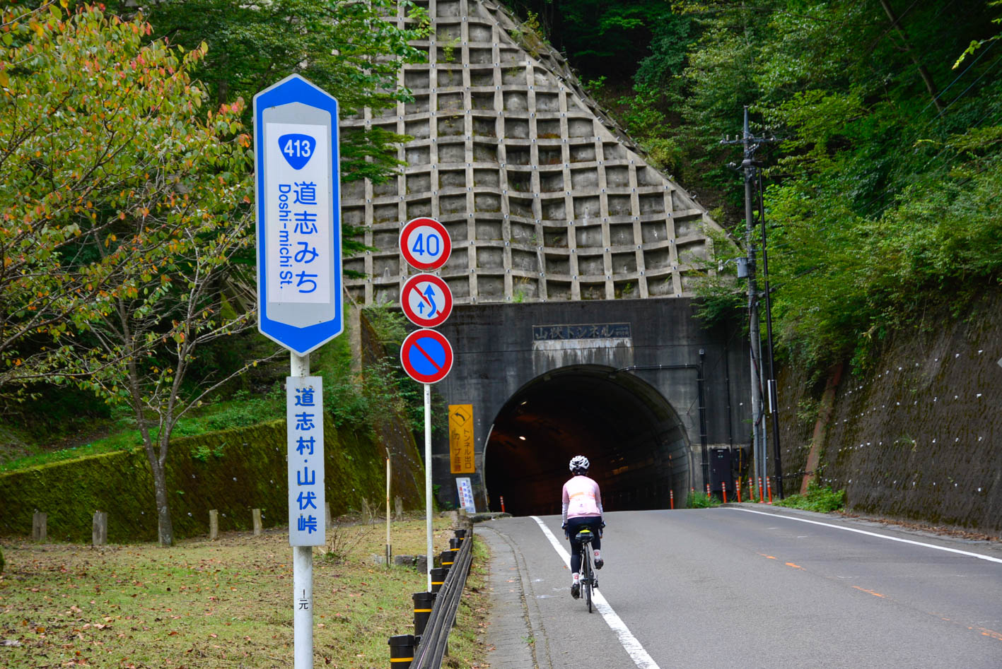
道志みちの最高地点(標高1100m)。カーブを曲がってトンネルが見えると長い上りも終わり。トンネルは短いが交通量が多いので注意。そのあとは一気に山中湖までダウンヒル!
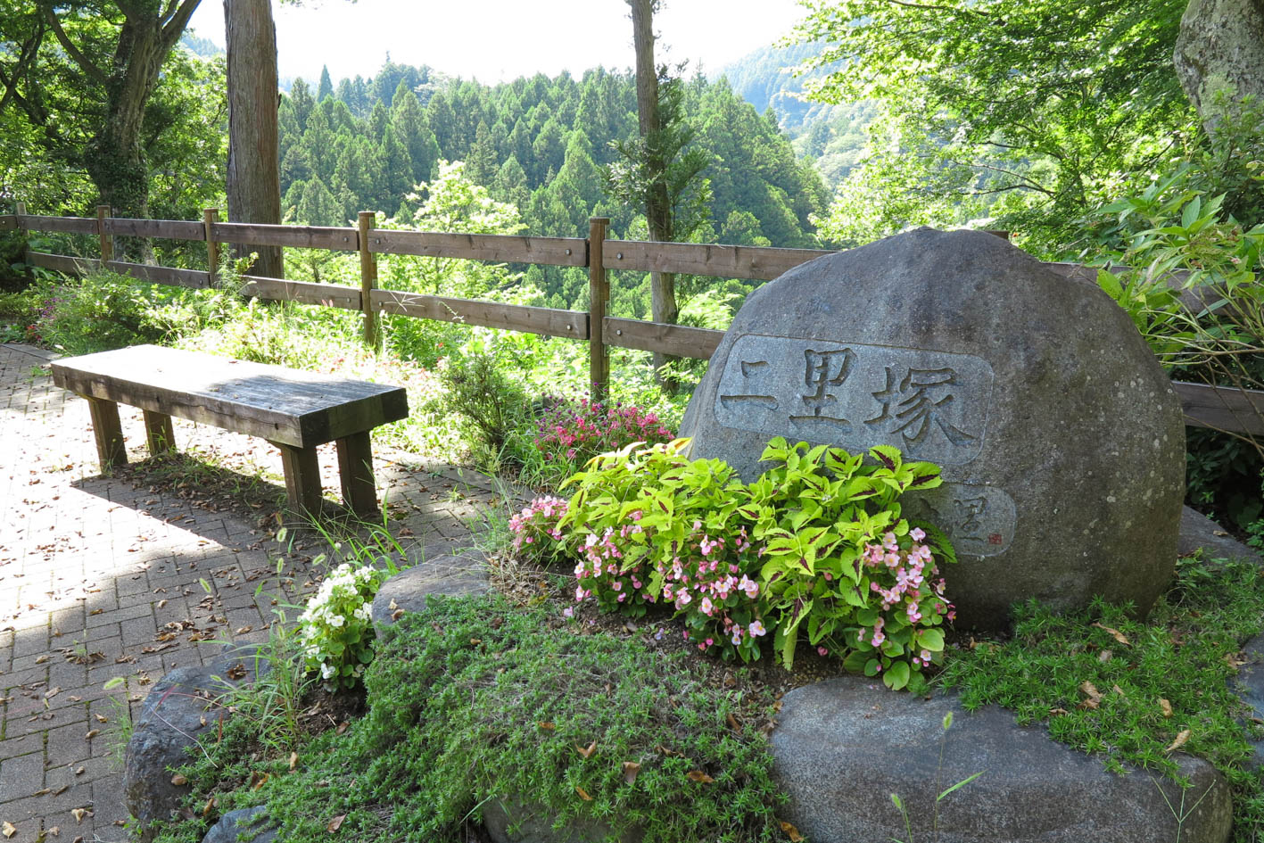
道志村は東西約28kmあり、昔から「道志七里」と呼ばれていた。本ルートにも一里塚から七里塚まであるが、見どころポイントになるような立派な石碑があるのは二里塚と四里塚のみ
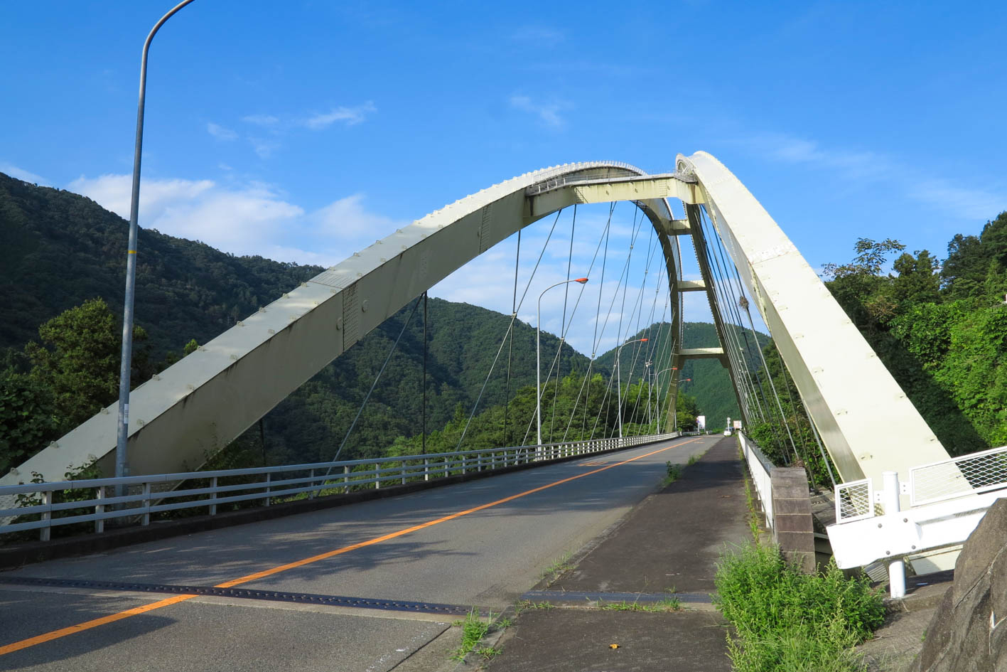
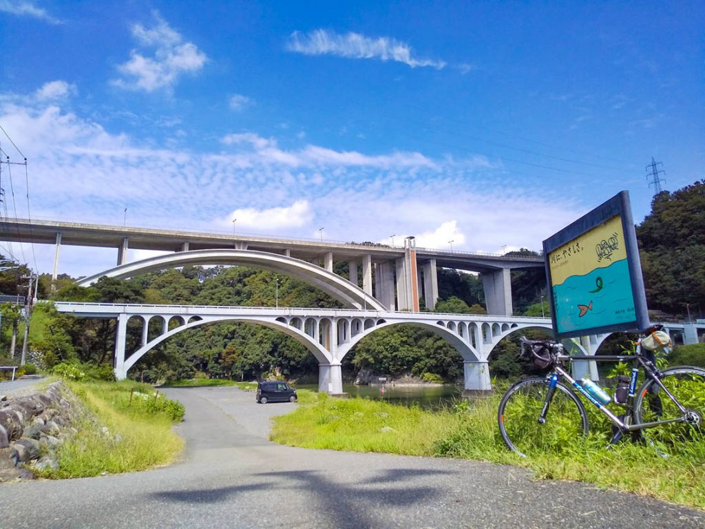
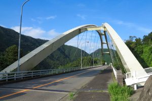
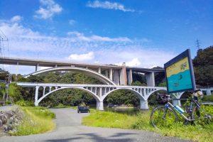
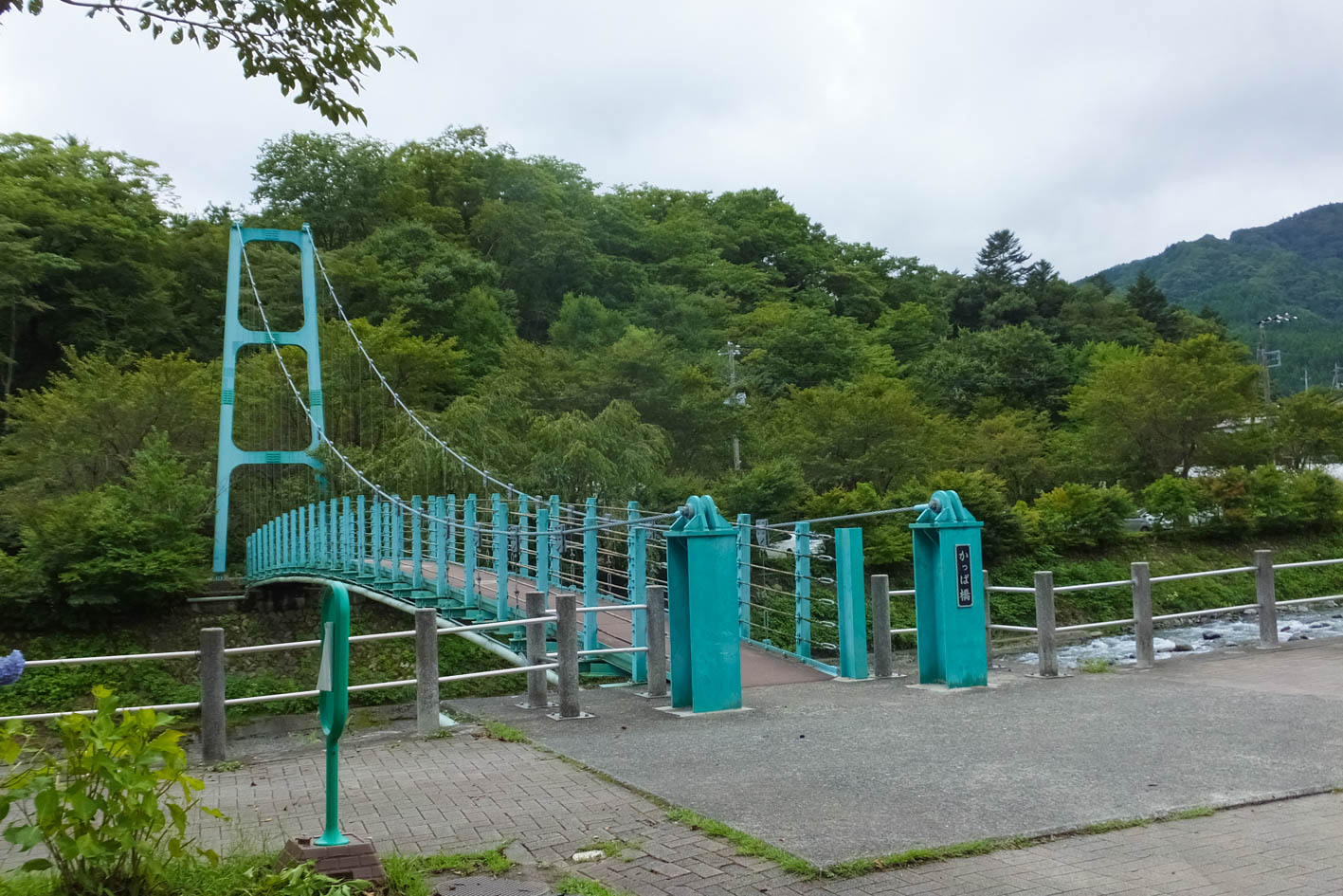
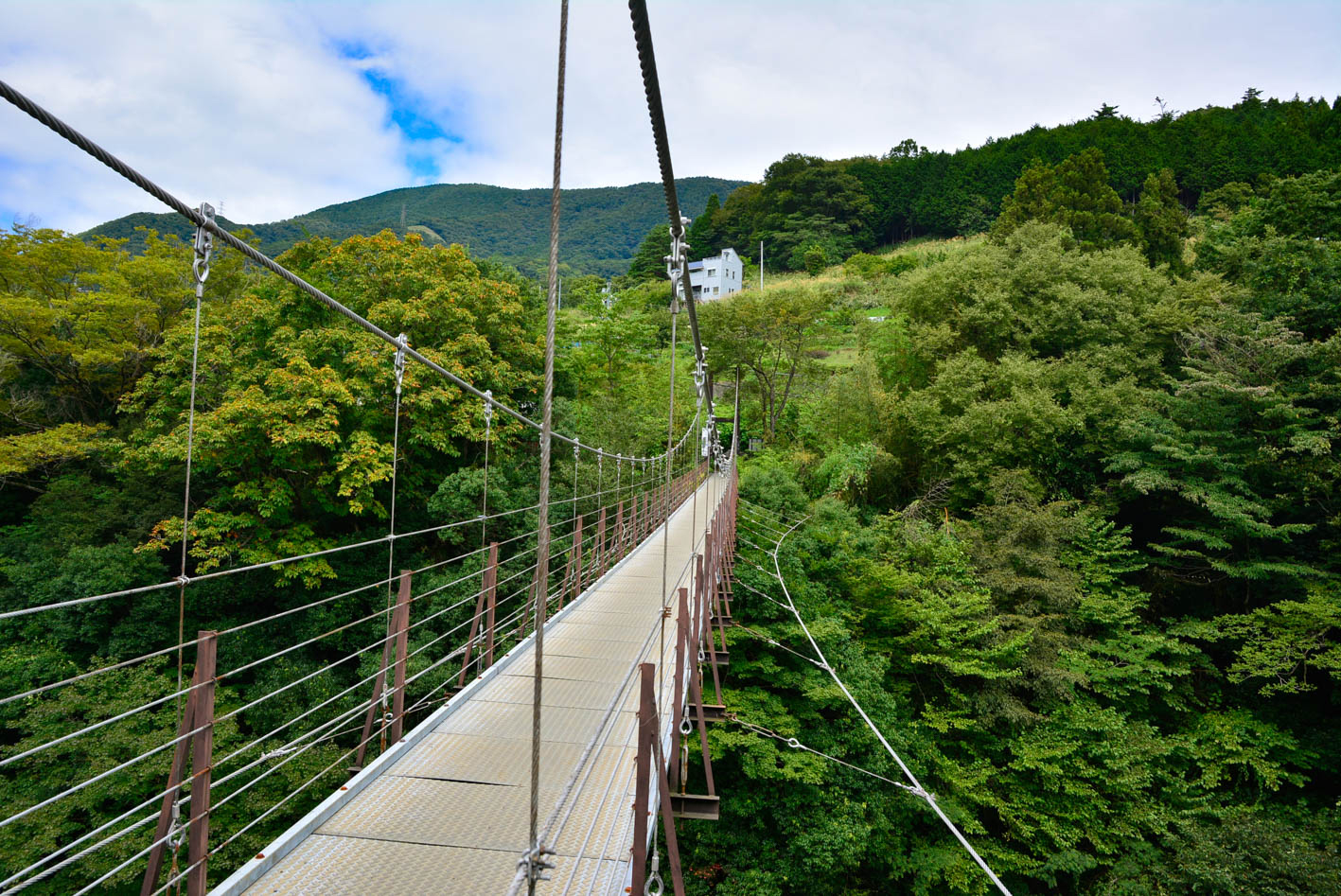
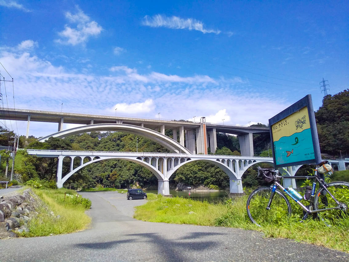
白いアーチが目を引く。道志川にそって走る国道に架かる橋。全長148m。左右を深い山が広がり、夏には鮮やかな緑につつまれる
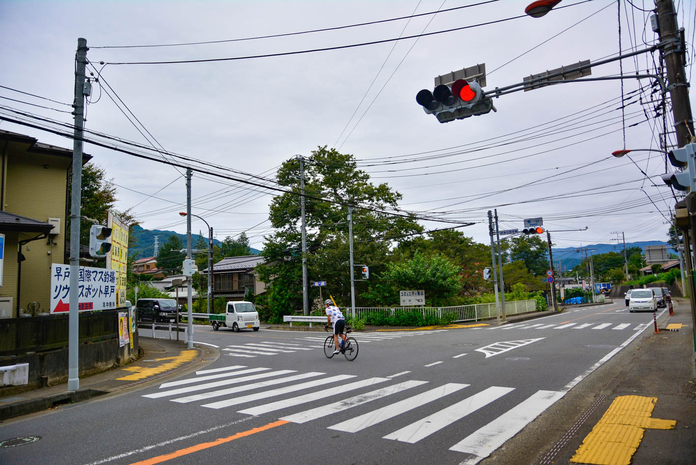
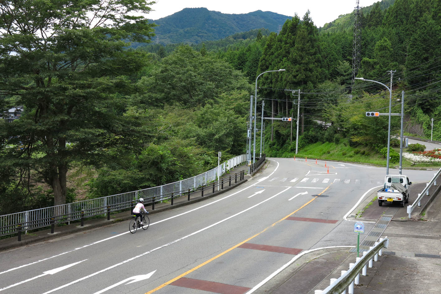
国道412号から国道413号に左折する交差点。道志みちは、ここからはじまる。相模湖側に向かう車やオートバイが多く、走行時には注意が必要!
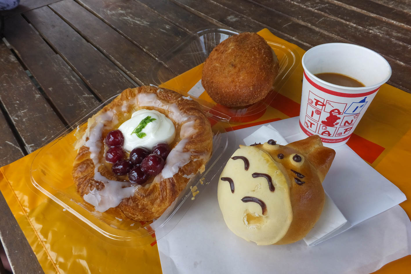
TVや雑誌にもたびたび登場する人気店。8時間で5,947個のカレーパンを販売したことでギネス世界記録を達成した。牛肉ゴロゴロでカリッと揚げられたカレーパンは絶品!広い駐車場とテラス席があり、地元の家族連れやサイクリストでいつも賑わう。無料の珈琲サービスも嬉しい!
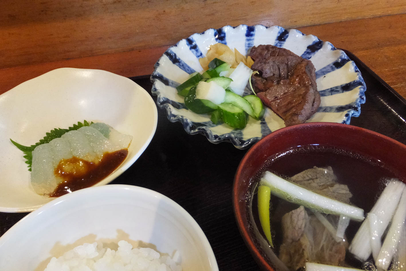
雑貨も販売するレストラン。ログハウス風の外観がオシャレ。駐車場と店の入口にサイクルラックあり。店内は木のカウンターとテーブルの落ち着いた内装。メニューも豊富で人気の牛タン定食は塩と味噌から選べる。ほかにもパスタ、蕎麦、コロッケ定食などが揃う。サイクリストには水の補給もしてくれる

道志みち沿いにある素朴なお店。開放的なテラス席で食事やお茶をいただける。店内では地元で採れた無農薬野菜や手造り雑貨などを販売しておりファンも多い。不定休のため、どうしても立ち寄りたい人はFacebookなどで情報を確認しておこう。お店を出ると店主がお見送りしてくれ、心あたたまる
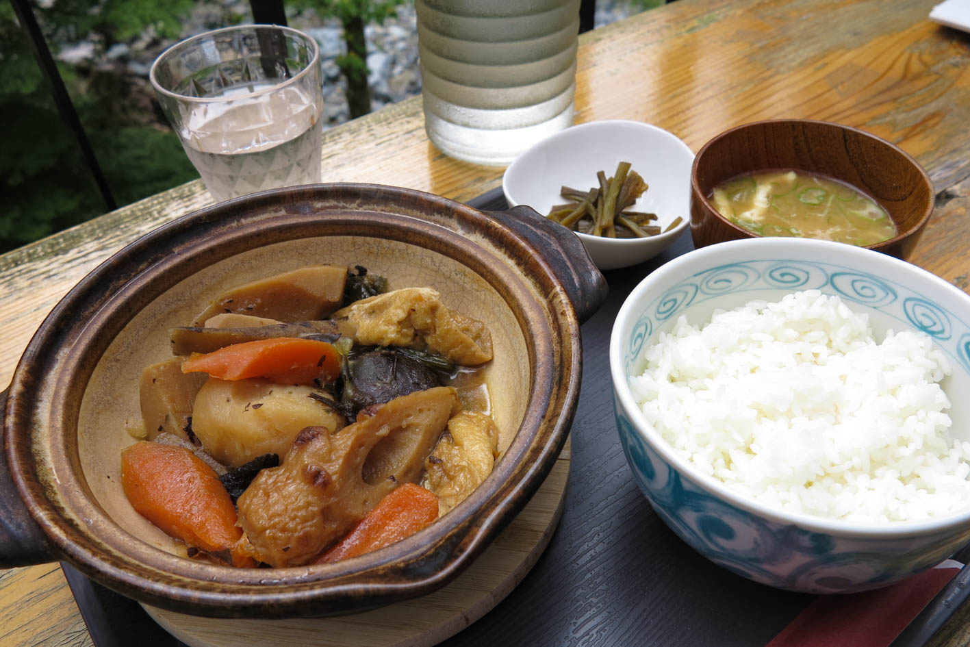
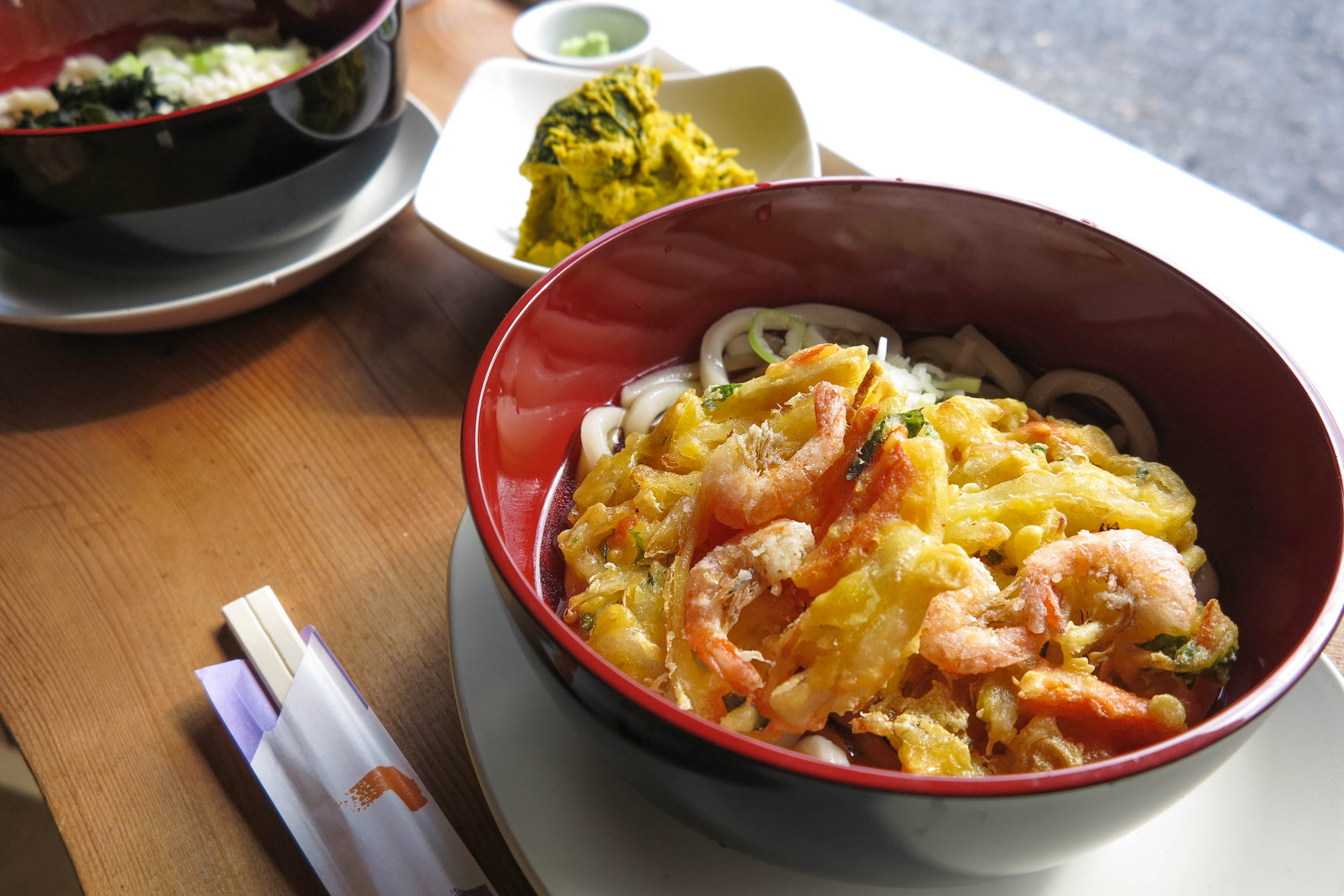
山伏峠の少し手前にある店。店内には囲炉裏席とテーブル席、テラス席あり。自家製のそば粉を使ったもり蕎麦やほうとう、うどんなどがオススメ。広大な畑を管理しており、野菜から穀物などを生産し、店で提供している。道志村で出来た野菜を使った郷土料理は格別の味
