


![]()
![]()
![]()
![]()
![]()
![]()
![]()
![]()
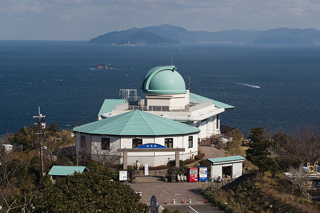


昭和38年まで運行されていた軽便鉄道の廃線敷をたどる平坦なルート。当時のままのトンネルや橋を通って昔を楽しんでみては?後半のさがのせきサイクリングロードでは浜辺や磯に下りてひと休みするのもいいかも。
A flat route that follows the abandoned tracks of a light railway that operated until Showa 38. Why don't you enjoy the old days by going through tunnels and bridges as they were back then? On the Saganoseki Cycling Road in the latter half, it might be a good idea to go down to the beach or the shore and take a break.
※オンラインの地図上でサイクリングルートが閲覧できるウェブサイト「ルートラボ」が2020年3月末でサービス終了したため、「bikemap」に変更したことで、bikemap内の距離や高低差に誤差が生じている場合がありますが、ご理解ご了承の程、よろしくお願いします。
