コース・マップ検索
北条鉄道周遊コース
距離 Distance:
19km
獲得標高 上り Elevation Gain (Up):
51m
獲得標高 下り Elevation Gain (Down):
42m
最大標高差 Maximum elevation difference:
32m
ぐるっと北条鉄道沿線を一周!ローカル列車「北条鉄道」と並走しよう
田園を走るローカル線「北条鉄道」と併走するコース。
Go around the Hojo Railway line all the way around! Let's run in parallel with the local train "Hojo Railway" A course that runs in parallel with the local line "Hojo Railway" that runs through the countryside. There is little traffic, it is flat, and the distance is short, so it is recommended for beginners. While enjoying a tour of stations registered as a nationally registered tangible cultural property, you can also visit war heritage sites such as air raid shelters around the Ushino Airport Ruins on the way along the course. Also, if you rent a bicycle, you can fold it up and carry it on the train to move around!
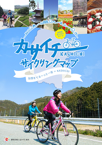
コース掲載マップ カサイチサイクリングマップ
オススメスポット ビュースポット いきもの・植物 グルメ ショッピング 道の駅 温泉 宿泊 病院 レンタサイクル 自転車販売店 サイクリングサポート トイレ その他
※オンラインの地図上でサイクリングルートが閲覧できるウェブサイト「ルートラボ」が2020年3月末でサービス終了したため、「bikemap」に変更したことで、bikemap内の距離や高低差に誤差が生じている場合がありますが、ご理解ご了承の程、よろしくお願いします。
コース周辺スポット
全て
オススメスポット
ビュースポット
グルメ
ショッピング
レンタサイクル
自転車販売店
トイレ
その他
で絞り込む
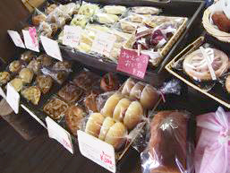
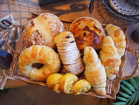
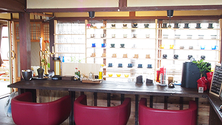
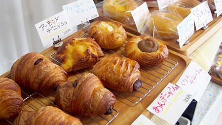
法華口駅 / 駅舎工房 Mon Favori
北条鉄道の法華口駅は、パン屋さんと駅が合体したユニークな駅。「駅舎工房 Mon Favori」には20種類ほどのできたてパンがズラリ。加西市産の米粉と地域食材をふんだんに使った、こだわりのパン目当てのお客さんが、10時のオープン前から行列をつくる。※自転車レンタルあり
住所:兵庫県加西市東笠原町240-5 法華口駅構内
TEL:0790-20-7368
営業時間:
10:00~16:00
定休日:
月曜日(祝日の際は翌火曜日)、金曜日※臨時休業あり、要確認
鶉野飛行場跡
住所:兵庫県加西市鶉野町
TEL:0790-42-8823(観光案内所)
Cafe dandan
住所:兵庫県加西市段下町171-3
TEL:0790-48-8801
営業時間:
8:00~15:00
定休日:
月 (※不定休 )
Cafe FLAT(カフェ フラット)
住所:兵庫県加西市中西町114-1
TEL:0790-48-2114
営業時間:
8:00~17:00(L.O.16:00)
定休日:
月・火曜日
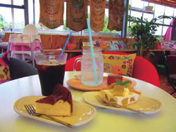
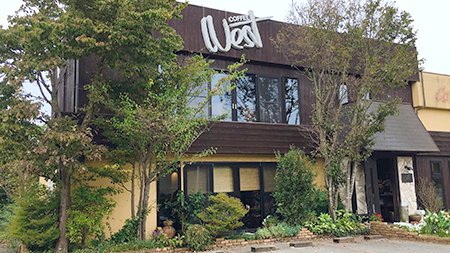
Cafe&diner West(喫茶ウエスト)
住所:兵庫県加西市桑原田町158-1
TEL:0790-49-0639
営業時間:
7:00~21:00(L.O. 20:30)
定休日:
月曜日
りんごの香
住所:兵庫県加西市桑原田町543-2
TEL:0790-49-1958
営業時間:
10:00~売り切れ次第終了
定休日:
日・月・木曜日
CODATE 293cafe(コダテ ニーキューサンカフェ)
住所:兵庫県加西市倉谷町293
TEL:0790-20-1171
営業時間:
11:00〜17:00(L.O.16:00)
定休日:
水曜日
ちかちゃんぱん
住所:兵庫県加西市倉谷町310
TEL:090-2016-9387
営業時間:
10:00~17:00 ※売り切れ次第閉店
定休日:
火・水曜日
ふく蔵
住所:兵庫県加西市三口町1048
TEL:0790-48-2005
営業時間:
[Shop&Gallery] 10:00~18:00
定休日:
年中無休(正月を除く)
松葉
住所:兵庫県加西市三口町918
TEL:0790-48-3664
営業時間:
10:00~17:00(なくなり次第終了)
定休日:
火曜日
つくし
住所:兵庫県加西市三口町876-1
TEL:0790-48-4194
営業時間:
8:00~17:00
定休日:
月曜日
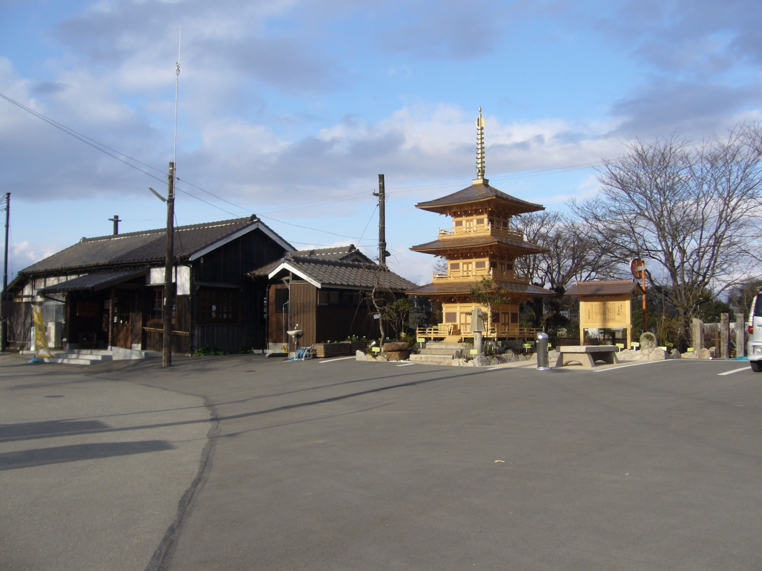
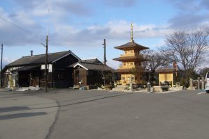
法華山 一乗寺
住所:兵庫県加西市坂本町821-17
TEL:0790-48-2006
営業時間:
[拝観時間] 8:00~17:00
料金:[拝観料] 500円(宝物館の拝観には、別途500円必要)
古法華自然公園
住所:兵庫県加西市東剣坂町1345-2
TEL:079-446-0081(管理者:清光社)
IL BINARIO DI ORO(イルビナーリオ ディ オーロ)
2016年6月、北条鉄道の播磨横田駅前に誕生したピッツェリア。本場ナポリで修業して腕を磨いた店長の藤原さんが、地元・加西産の美味しい野菜を多用したピッツァを提供。
住所:兵庫県加西市横田町545-1
TEL:0790-46-8100
営業時間:
11:00~15:00(L.O. 14:30) / 17:30~21:30(L.O. 21:00)
定休日:
火曜日・水曜日(祝日の場合は営業)
丸山総合公園
住所:兵庫県加西市北条町西高室
TEL:0790-35-8872
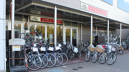
イオンサイクルショップ 加西北条店
住所:加西市北条町北条308-1(イオンモール加西北条)
TEL:0790-45-3500
営業時間:
9:00~23:00
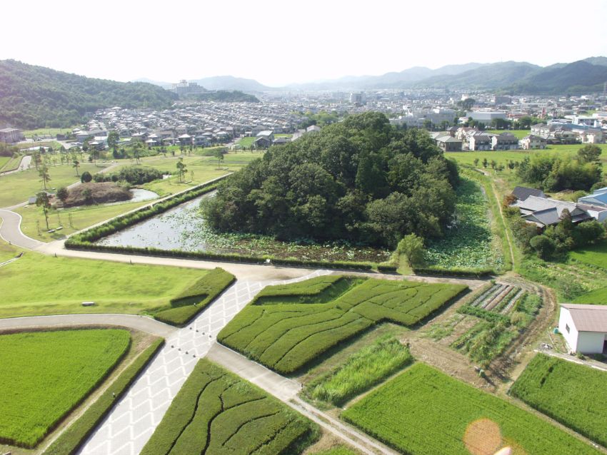
玉丘史跡公園(玉丘古墳群)
住所:兵庫県加西市玉丘町76
TEL:079-446-0081(管理者:清光社)
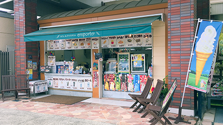
アンポルテ
住所:加西市豊倉町飯森1282-1 (兵庫県立フラワーセンター)
TEL:0790-47-1182
営業時間:
10:00~17:00
定休日:
水曜日(加えて不定休あり)
カーショップ タカハシ
住所:兵庫県加西市北条町西高室590-21
TEL:0790-42-2627
営業時間:
[平日] 9:00~20:00 / [日・祝]9:00~19:00
定休日:
木曜日