コース・マップ検索
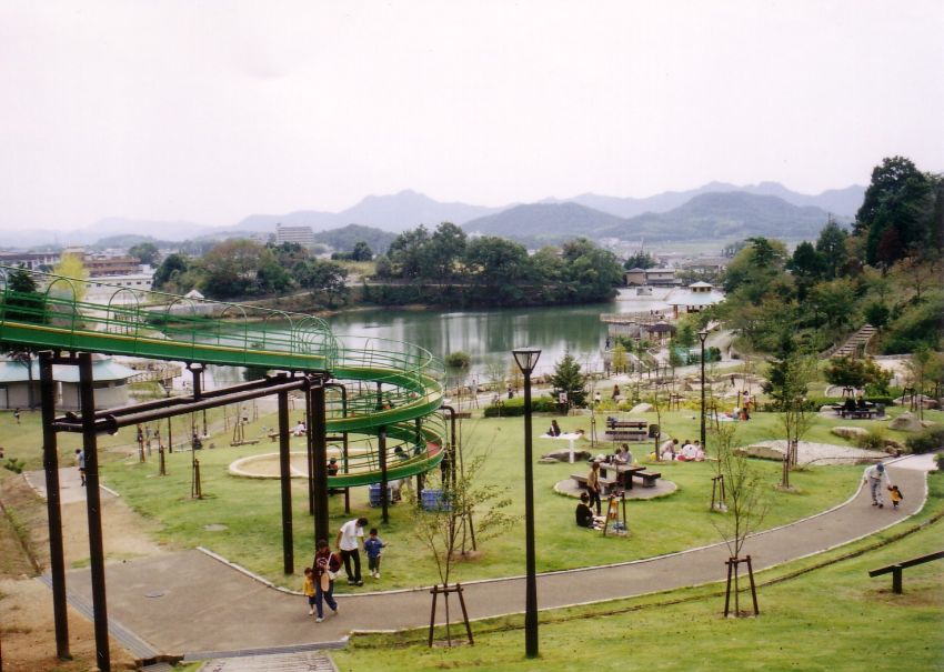
北部ど田舎周遊コース
距離 Distance:
24.2km
獲得標高 上り Elevation Gain (Up):
180m
獲得標高 下り Elevation Gain (Down):
186m
最大標高差 Maximum elevation difference:
116m
加西の最北端を目指して!山間エリアを走り抜け、山里の田園風景を楽しもう
都会の喧騒を離れ、ど田舎の田園風景を満喫するコース。
Aim for the northernmost tip of Kasai! Run through mountainous areas and enjoy the rural scenery of mountain villages A course where you can leave the hustle and bustle of the city and fully enjoy the rural landscape. If you take a break at Toko-ji Temple at the northernmost tip of the course and cross Onagiri Pass, you'll be on your way to the most recommended spot on the rural course. The road along the river is a little narrow and there is no speed, but the pedals move smoothly into a somewhat nostalgic landscape.
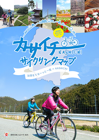
コース掲載マップ カサイチサイクリングマップ
オススメスポット ビュースポット いきもの・植物 グルメ ショッピング 道の駅 温泉 宿泊 病院 レンタサイクル 自転車販売店 サイクリングサポート トイレ その他
※オンラインの地図上でサイクリングルートが閲覧できるウェブサイト「ルートラボ」が2020年3月末でサービス終了したため、「bikemap」に変更したことで、bikemap内の距離や高低差に誤差が生じている場合がありますが、ご理解ご了承の程、よろしくお願いします。
コース周辺スポット
全て
オススメスポット
ビュースポット
グルメ
宿泊
レンタサイクル
自転車販売店
トイレ
で絞り込む
石部神社
住所:兵庫県加西市上野町69-2
TEL:0790-44-0046
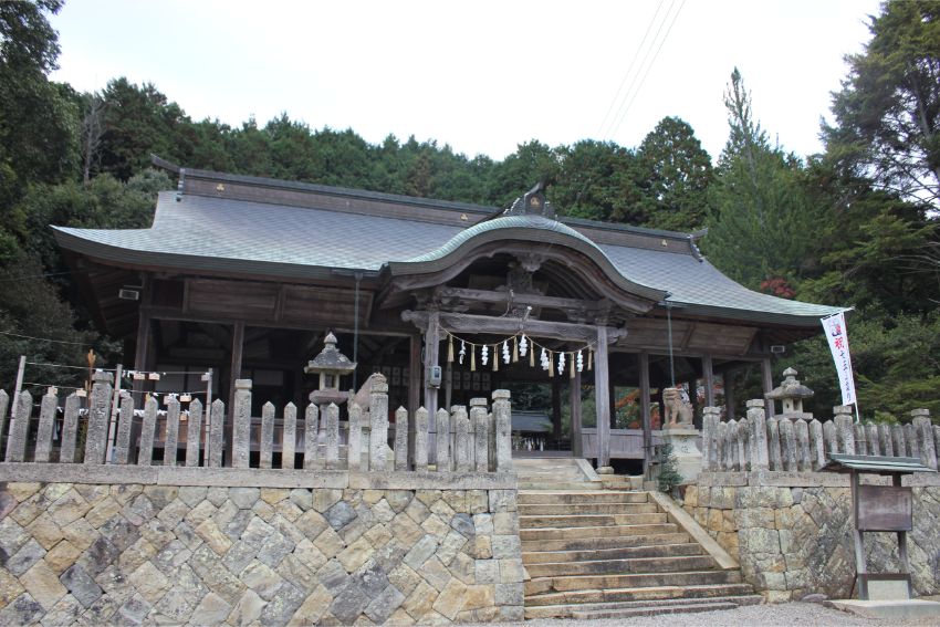
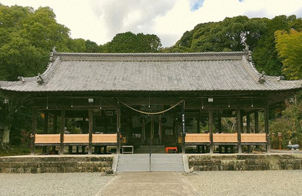
東光寺
毎年1月8日の夜、鬼会の儀式が行われる。(国の重要無形民俗文化財)
住所:兵庫県加西市上万願寺町392
TEL:0790-42-8823(観光案内所)
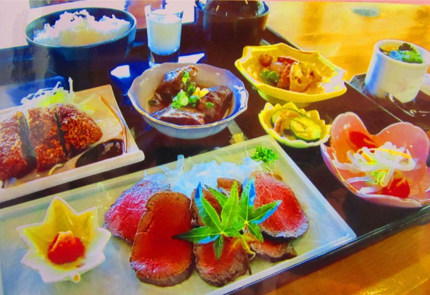
さたに食道
住所:兵庫県加西市佐谷町209
TEL:0790-44-1571
営業時間:
毎週火・水・木、毎月第1・第3土・日曜の 8:30~(L.O. 12:00)
定休日:
上記営業日以外
農家レストラン 土一七日屋台(どいなかやたい)
住所:兵庫県加西市上万願寺町120
TEL:0790-44-0150
営業時間:
10:30~15:00
定休日:
水曜日
日吉神社
住所:兵庫県加西市池上町7
TEL:0790-45-1616
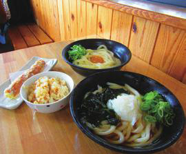
がいな製麺所
住所:兵庫県加西市和泉町25-2
TEL:0790-45-0848
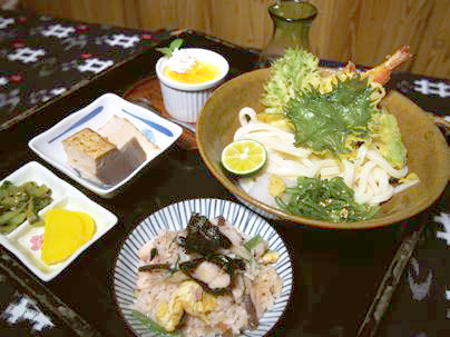
うどん処 こはる蔵
住所:兵庫県加西市殿原町154-1
TEL:0790-44-2780
営業時間:
11:30~14:00 / 17:00~21:00
定休日:
木曜日
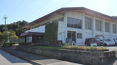
加西市勤労者体育センター
住所:兵庫県加西市玉野町1124
TEL:0790-47-1420
営業時間:
[レンタサイクル] 9:00~16:00
定休日:
水曜日
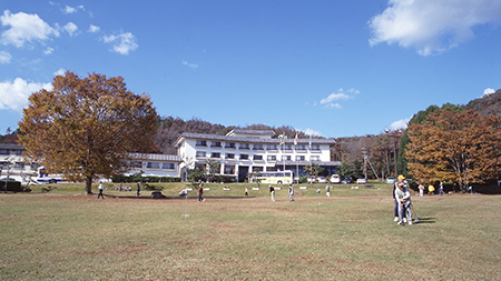
いこいの村はりま
住所:兵庫県加西市笹倉町823-1
TEL:0790-44-1750
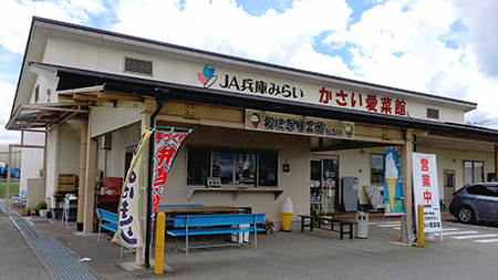
かさい愛菜館「おにぎり工房」
住所:兵庫県加西市豊倉町1261-81(かさい愛菜館敷地内)
TEL:080-6163-6049 ※予約承ります
営業時間:
10:00~15:00
定休日:
火曜日
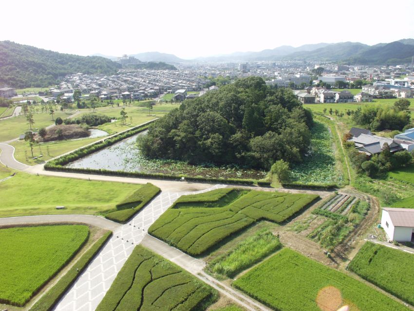
玉丘史跡公園(玉丘古墳群)
住所:兵庫県加西市玉丘町76
TEL:079-446-0081(管理者:清光社)
丸山総合公園
住所:兵庫県加西市北条町西高室
TEL:0790-35-8872
IL BINARIO DI ORO(イルビナーリオ ディ オーロ)
2016年6月、北条鉄道の播磨横田駅前に誕生したピッツェリア。本場ナポリで修業して腕を磨いた店長の藤原さんが、地元・加西産の美味しい野菜を多用したピッツァを提供。
住所:兵庫県加西市横田町545-1
TEL:0790-46-8100
営業時間:
11:00~15:00(L.O. 14:30) / 17:30~21:30(L.O. 21:00)
定休日:
火曜日・水曜日(祝日の場合は営業)
イオンサイクルショップ 加西北条店
住所:加西市北条町北条308-1(イオンモール加西北条)
TEL:0790-45-3500
営業時間:
9:00~23:00
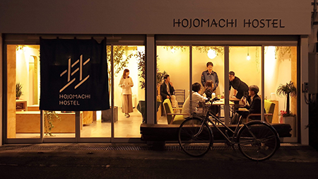
ゲストハウス HOJO MACHI HOSTEL
住所:兵庫県加西市北条町北条1098-15
TEL:0790-35-9216
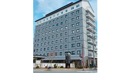
ホテルルートイン加西 北条の宿(ほうじょうのしゅく)
住所:兵庫県加西市北条町栗田7-7
TEL:050-5576-8100
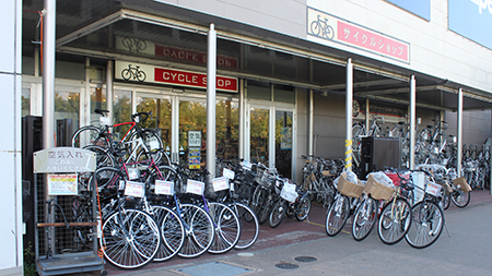
村岡自転車商会
住所:兵庫県加西市殿原町411-1
TEL:0790-44-0245
カーショップ タカハシ
住所:兵庫県加西市北条町西高室590-21
TEL:0790-42-2627
営業時間:
[平日] 9:00~20:00 / [日・祝]9:00~19:00
定休日:
木曜日
アリタサイクル
住所:兵庫県加西市北条町7-10
TEL:0790-42-0477
衣笠モーターサイクル
住所:兵庫県加西市北条町1060
TEL:0790-42-0401