


![]()
![]()
![]()
![]()
![]()
![]()
![]()
![]()
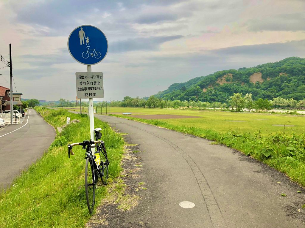
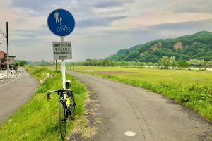
多摩川サイクリングコース(左岸)は、東京都羽村市から大田区(羽田空港)までの約58kmの自転車道です。
多摩川サイクリングコース(右岸)はこちらをご覧ください。
より詳細な情報を掲載したい自治体の方はこちら。
The Tama River Cycling Course (left bank) is a bike path approximately 58 km from Hamura in Tokyo to Ota Ward (Haneda Airport). Please see the Tama River Cycling Course (right bank) here. If you are a local government that would like to post more detailed information, click here.
※オンラインの地図上でサイクリングルートが閲覧できるウェブサイト「ルートラボ」が2020年3月末でサービス終了したため、「bikemap」に変更したことで、bikemap内の距離や高低差に誤差が生じている場合がありますが、ご理解ご了承の程、よろしくお願いします。
