


![]()
![]()
![]()
![]()
![]()
![]()
![]()
![]()
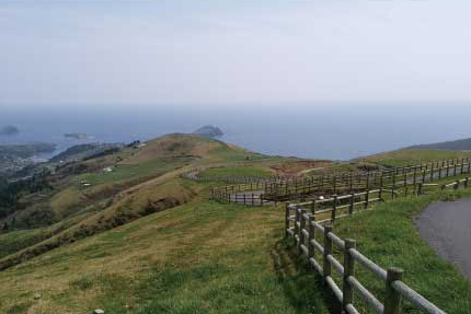
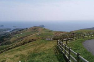
高低差約300mヒルクライムとダウンヒルの楽しめる中~上級者向けコースです。コース上には放牧牛を間近に感じられるエリアもあり、坂道を上り終えた赤はげ山の頂上は島前カルデラを一望できる景観が待っています。
This is a course for intermediate to advanced users where you can enjoy hill climbing and downhill with an elevation difference of about 300 meters. There is also an area on the course where you can feel grazing cows up close, and a panoramic view of the Shimamae Caldera awaits at the top of Mount Akahage after climbing the slope.
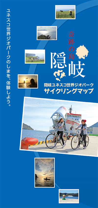
ユネスコ世界ジオパークのしまを、体験しよう。
マップ詳細へ※オンラインの地図上でサイクリングルートが閲覧できるウェブサイト「ルートラボ」が2020年3月末でサービス終了したため、「bikemap」に変更したことで、bikemap内の距離や高低差に誤差が生じている場合がありますが、ご理解ご了承の程、よろしくお願いします。
隠岐汽船フェリーでご自身の自転車の搬送が可能です。
周囲を海で隔てられた隠岐諸島。ここは島だからこそ、大地、生物、人間の深いつながりを見つけることができます。ユーラシア大陸の縁であった時代から、湖の底の時代、深い海の底の時代、火山島の時代、島根半島と陸続きとなった時代を経て、約1万年前に現在のような離島となりました。このように大陸から島に移り変わったことによって独自の生態系や文化が生まれました。ここでは何億年も前からの「大地の成り立ち」、その大地の上に成り立つ「独自の生態系」、更には、それらの上に成り立つ「古代から続く人の営み」との関係を分かりやすく体験することができます。
