


![]()
![]()
![]()
![]()
![]()
![]()
![]()
![]()
宇連川沿いの望月街道をJR飯田線三河川合駅まで走る中級コース。
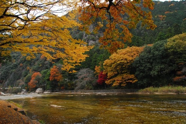
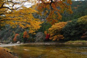
コース脇に広がる板敷川の絶景とすぐ横を大迫力で通過する飯田線。
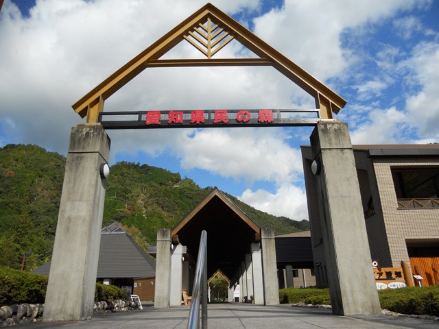
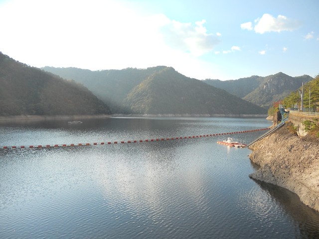
途中の愛知県民の森には散策コースがあり気軽に森林浴ができるほか、三河川合駅から少し足を延ばせば乳岩峡や鳳来湖(宇連ダム)の新城ジオパークも楽しめます。
An intermediate course that runs on the Mochizuki Kaido along the Uregawa River to Mikawa-Kawai Station on the JR Iida Line.
The Iida Line passes right beside the course with a spectacular view of the Itajiki River.
There is a walking course in Aichi Prefectural Forest along the way, so you can easily bathe in the forest, and if you go a little further from Mikawa-Kawai Station, you can also enjoy the Shinshiro Geopark and Lake Horai (Uren Dam).
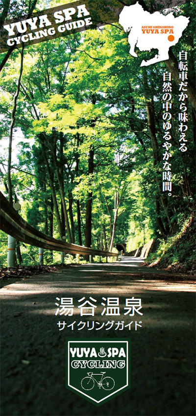
自転車だから味わえる自然の中のゆるやかな時間。
マップ詳細へ※オンラインの地図上でサイクリングルートが閲覧できるウェブサイト「ルートラボ」が2020年3月末でサービス終了したため、「bikemap」に変更したことで、bikemap内の距離や高低差に誤差が生じている場合がありますが、ご理解ご了承の程、よろしくお願いします。
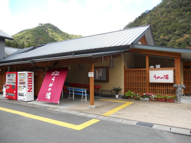
湯谷温泉駅内 湯谷温泉観光案内所のレンタサイクル。受付時に免許証等身分証明書が必要です。
湯谷温泉の歴史は古く、1300年前に鳳来寺山を開山した利修仙人によって発見され、源泉『鳳液泉』は万病に効くと伝えられています。宇連川の両岸に9軒の温泉宿が立ち並び、渓谷の美しい景色を眺めながら入る温泉は格別です。湯谷温泉駅は大正12年に宿泊施設を併設した駅舎として建てられ、若山牧水が宿泊したことでも知られています。また、忌野清志郎が愛した温泉地としても有名で、愛車でサイクリングしながら温泉を楽しんでいました。
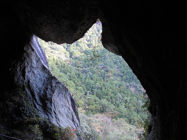
望月街道は、長篠の豪商・望月喜平治が莫大な私費を投じて明治19年(1886年)に開設した街道で、新城市長篠地区から川合地区までの約14kmを宇連川の右岸に沿って延びています。街道では板敷川とも呼ばれる宇連川の渓谷や、巨大な岩をくりぬいて造られた「槇原トンネル」、街道のすぐ横を走り抜ける飯田線など、見どころも豊富です。
