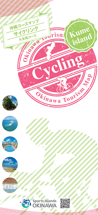
コース・マップ検索
久米島コース
距離 Distance:
20.8km
獲得標高 上り Elevation Gain (Up):
167m
獲得標高 下り Elevation Gain (Down):
172m
最大標高差 Maximum elevation difference:
50m
那覇から西へ飛行機で約30分の場所にある久米島。独自の自然と文化が息づくこの島は、毎年多くの観光客が訪れる県内でも指折りの観光地です。海岸まで迫る切り立った山や沖合いまで伸びるサンゴ礁など、忘れられない風景に出会えます。
Kumejima is located about 30 minutes by plane west from Naha. This island, which has unique nature and culture, is one of the best tourist destinations in the prefecture where many tourists visit every year. You can encounter unforgettable landscapes, such as steep mountains that approach the coast and coral reefs that extend offshore.
コース掲載マップ 沖縄コースマップサイクリング 久米島コース
オススメスポット ビュースポット いきもの・植物 グルメ ショッピング 道の駅 温泉 宿泊 病院 レンタサイクル 自転車販売店 サイクリングサポート トイレ その他
※オンラインの地図上でサイクリングルートが閲覧できるウェブサイト「ルートラボ」が2020年3月末でサービス終了したため、「bikemap」に変更したことで、bikemap内の距離や高低差に誤差が生じている場合がありますが、ご理解ご了承の程、よろしくお願いします。
コース周辺スポット
全て
オススメスポット
ビュースポット
いきもの・植物
グルメ
ショッピング
温泉
宿泊
病院
レンタサイクル
自転車販売店
トイレ
その他
で絞り込む
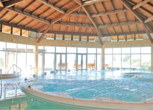
バーデハウス久米島
住所:沖縄県島尻郡久米島町字奥武170-1
TEL:098-985-8600
営業時間:
10:00~21:00
料金:バーデプール大人2000円、小人1000円
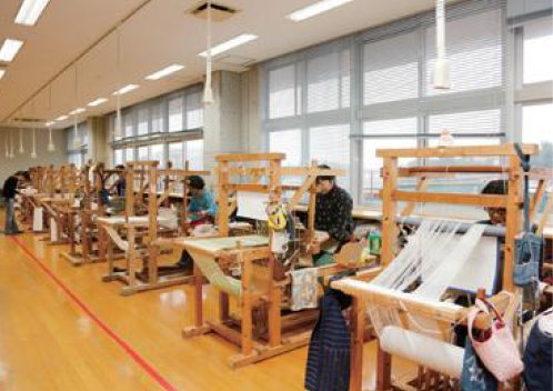
久米島紬の里ユイマール館
住所:沖縄県島尻郡久米島町真謝1878-1
TEL:098-985-8333
営業時間:
9:00~17:00
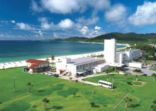
久米島イーフビーチホテル
住所:沖縄県島尻郡久米島町字謝名堂548
TEL:098-985-7111
営業時間:
24時間
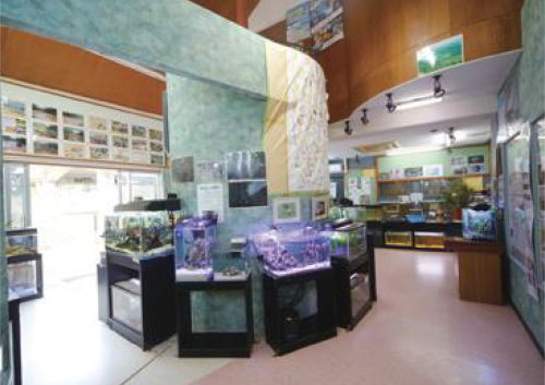
久米島ホタル館
住所:沖縄県島尻郡久米島町字大田420
TEL:098-896-7100
営業時間:
9:30〜17:00
定休日:
月曜日、火曜日
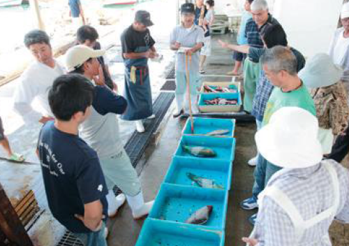
久米島漁業協同組合 セリ市
住所:沖縄県島尻郡久米島町宇根402
TEL:098-985-8216
営業時間:
10:00~
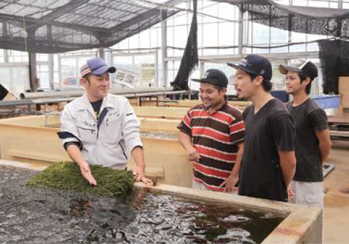
久米島海洋深層水開発 海ぶどう養殖場
住所:沖縄県島尻郡久米島町真謝500-1
TEL:098-985-7822
営業時間:
10:30~12:00、13:30~15:00
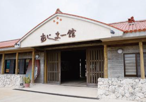
あじまー館(久米島町観光協会)
住所:沖縄県島尻郡久米島町字仲泊966-33
TEL:098-896-7010
営業時間:
8:30~17:30
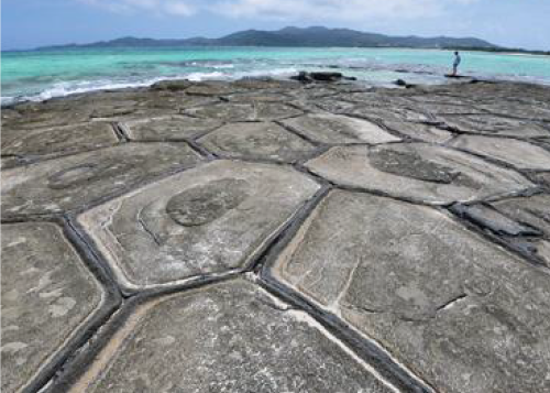
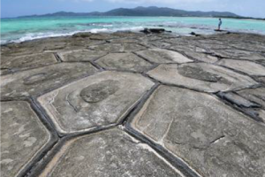
畳石
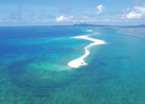
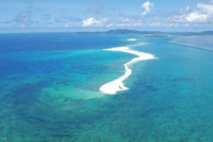
ハテの浜
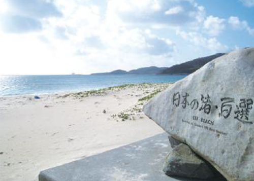
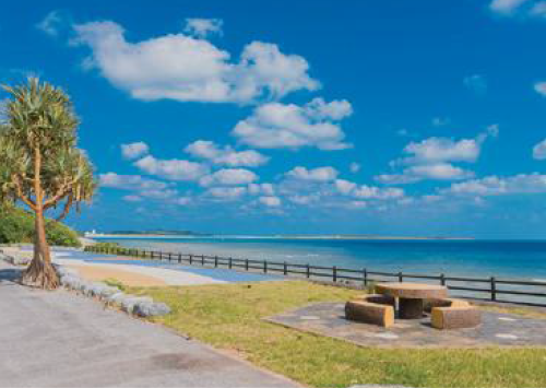
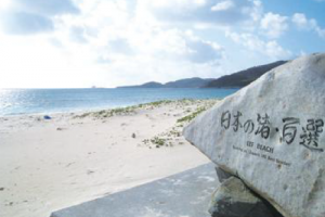
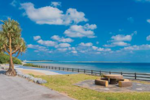
イーフビーチ
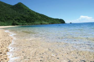
島尻海岸
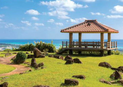
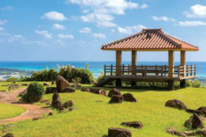
登武那覇城跡
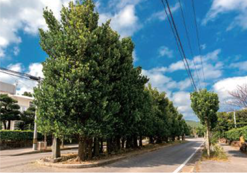
真謝のチュラフクギ
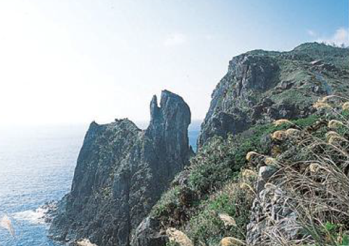
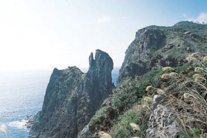
鳥の口
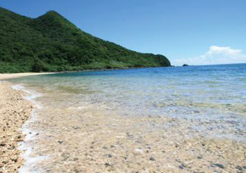
アーラ浜
リゾートホテル久米アイランド
住所:沖縄県島尻郡久米島町字真我里411
TEL:098-985-8001
営業時間:
24時間
ポイントピュール
住所:沖縄県島尻郡久米島町字真謝486-12
TEL:098-896-8701
営業時間:
9:00~12:00、13:00~15:00、15:30~16:30
沖縄輪業株式会社 南風原本店
住所:沖縄県南風原町兼城517-3
TEL:098-888-0064
営業時間:
10:00~19:00
定休日:
火曜日、年末年始、ツール・ド・おきなわ開催期間中
沖縄輪業株式会社 那覇前島2号館
住所:沖縄県那覇市前島2-10-3
TEL:098-943-6768
営業時間:
7:00~20:00
沖縄輪業株式会社 那覇前島店
住所:沖縄県那覇市前島2-3-4
TEL:098-868-0404
営業時間:
11:00~20:00(金曜日12:00~20:00)
定休日:
木曜日、年末年始、ツール・ド・おきなわ開催期間中
バイスクルキッズ
住所:沖縄県那覇市奥武山町26-24
TEL:098-891-8220
営業時間:
11:00~20:00
定休日:
水曜日
ハシカワサイクル
住所:沖縄県那覇市泉崎2-4-7
TEL:098-855-6218
営業時間:
10:00~20:00(日曜日12:00~19:00)
久米島町観光協会
TEL:098-896-7010
営業時間:
8:30~17:30
公立久米島病院
住所:沖縄県島尻郡久米島町字嘉手苅572-3
TEL:098-985-5555
受付時間:
[受付時間]8:30~11:00、13:00~16:00
[診療時間]9:00~12:00、14:00~17:00
休診日:
日曜日、月曜日、祝日、慰霊の日、12/29~1/3