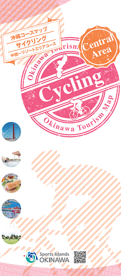
コース・マップ検索
中部周遊コース
距離 Distance:
100.5km
獲得標高 上り Elevation Gain (Up):
887m
獲得標高 下り Elevation Gain (Down):
895m
最大標高差 Maximum elevation difference:
95m
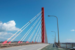
漢那ビーチを起点に東海岸と、西海岸をめぐる、中級レベルコース。自然風景や、海中道路をはじめとする東海岸から、嘉手納のアメリカンなエリア、そして恩納村のリゾートエリアを通るルート。
An intermediate level course that starts at Kanna Beach and goes around the east and west coasts. A route that passes through the natural landscape and the east coast, starting with the Kaichu Road, through the American area of Kadena and the resort area of Onna Village.
コース掲載マップ 沖縄コースマップサイクリング 中部~リゾートエリアコース
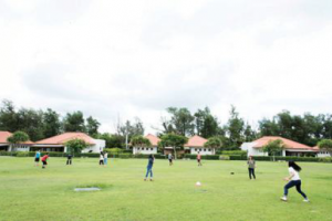
オススメスポット ビュースポット いきもの・植物 グルメ ショッピング 道の駅 温泉 宿泊 病院 レンタサイクル 自転車販売店 サイクリングサポート トイレ その他
※オンラインの地図上でサイクリングルートが閲覧できるウェブサイト「ルートラボ」が2020年3月末でサービス終了したため、「bikemap」に変更したことで、bikemap内の距離や高低差に誤差が生じている場合がありますが、ご理解ご了承の程、よろしくお願いします。
コース周辺スポット
全て
ビュースポット
グルメ
ショッピング
道の駅
温泉
宿泊
病院
レンタサイクル
自転車販売店
トイレ
で絞り込む
かりゆしカンナタラソラグーナ
住所:沖縄県国頭郡宜野座村字漢那1817
TEL:098-983-2323
営業時間:
10:00~22:00(最終受付21:00)
マエダブリーズ
住所:沖縄県国頭郡恩納村真栄田1430-12
TEL:098-989-8099
営業時間:
8:00~16:00
おんなの駅
住所:沖縄県国頭郡恩納村字仲泊1656-9
TEL:098-964-1188
営業時間:
10:00~19:00
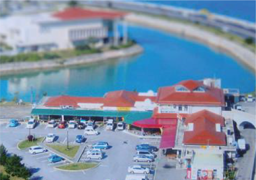
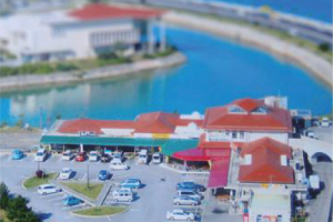
海の駅あやはし館
住所:沖縄県うるま市与那城屋平4
TEL:098-978-8830
営業時間:
9:00~18:00(夏場は~19:00)
ネイチャーみらい館
住所:沖縄県国頭郡金武町金武11818-2
TEL:098-968-6117
営業時間:
9:00~17:00
恩納村観光協会
住所:沖縄県国頭郡恩納村字恩納5973
TEL:098-966-2893
営業時間:
9:00~17:30
恩納村役場
住所:沖縄県国頭郡恩納村字恩納2451
TEL:098-966-1280
営業時間:
9:00~18:00(夏場は~19:00)
サイクルプラザ池原
住所:沖縄県うるま市石川白浜1-4-25
TEL:098-964-2120
営業時間:
11:00~19:00
石川サイクル
住所:沖縄県嘉手納町嘉手納20
TEL:098-956-2896
営業時間:
11:00~19:00
定休日:
日曜日
サイクル館 泡瀬店
住所:沖縄県沖縄市海邦2-9-11
TEL:098-934-3389
営業時間:
10:00~20:00
ペダリストクラブ プラネット・チャオ
住所:沖縄県恩納村真栄田1424-2
TEL:070-6521-5141
営業時間:
7:00~19:00
料金:1日1500円
県立中部病院
住所:沖縄県うるま市宮里281
TEL:098-973-4111
受付時間:
[平日]8:30~11:00
休診日:
土曜日、日曜日、祝祭日、6/23慰霊の日、年末年始の官公庁休業期間
中頭病院
住所:沖縄県沖縄市字登川610
TEL:098-939-1300
受付時間:
[平日]8:30~11:30、13:30~17:00
休診日:
土曜日午後、日曜日、祝祭日
ハートライフ病院
住所:沖縄県中頭郡中城村伊集208
TEL:098-895-3255
受付時間:
受付時間[平日]8:00~11:30、12:00~16:30