


![]()
![]()
![]()
![]()
![]()
![]()
![]()
![]()

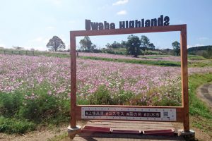
上場高原へのコースです。春は菜の花、秋はコスモスで多くの方が来られます。山の麓には厳島神社があります。大川内地区の自然も満喫できます。
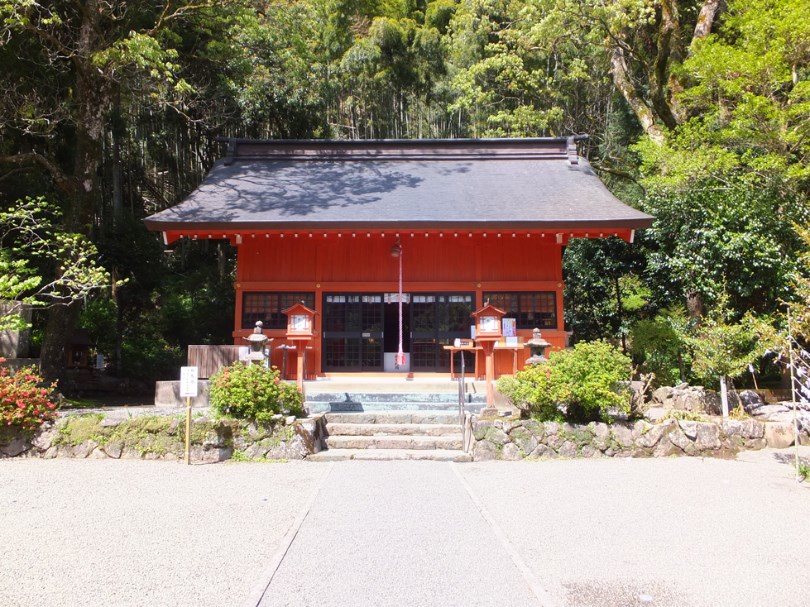
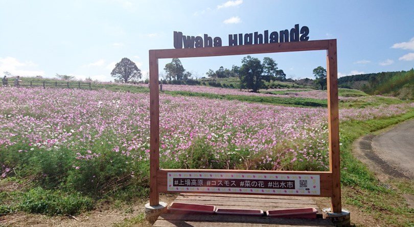
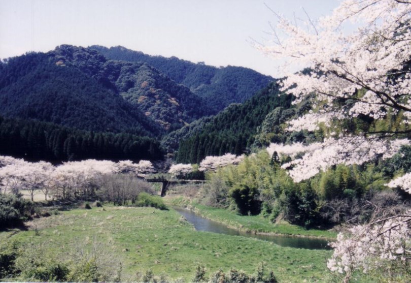
This is a course to the listed plateau. Many people come here for rapeseed blossoms in spring and cosmos in fall. At the foot of the mountain is Itsukushima Shrine. You can also enjoy nature in the Okawachi area.
※オンラインの地図上でサイクリングルートが閲覧できるウェブサイト「ルートラボ」が2020年3月末でサービス終了したため、「bikemap」に変更したことで、bikemap内の距離や高低差に誤差が生じている場合がありますが、ご理解ご了承の程、よろしくお願いします。
広島厳島神社と、福岡宗像大社の分霊を勧請したと伝えられる。里山の中のきれいな神社で、サイクリングの安全を祈願しましょう♪
春の菜の花に始まり、秋には25 万本のコスモスが咲く花に溢れた高原です。標高470m まで一気に駆け上がれ!
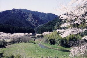
ダム湖周辺道路の春の桜は見物です。さらに、隠れた野鳥スポットとしても人気です。約7 ㎞で1 周でき、きれいな湖を眺めてください。
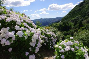
5万坪の大庭園です。6月中旬頃には、あじさいが見頃を迎えます。それ以外でも10割そばを食べながら、ゆったりとした時間を過ごせます。
