コース・マップ検索

波野ルート
Namino route

距離 Distance: 27.8km

獲得標高 上り Elevation Gain (Up): 604m

獲得標高 下り Elevation Gain (Down): 607m

最大標高差 Maximum elevation difference: 198m

波野は、その名の通り波のような起伏に富んだ地域。アップダウンを楽しむルートは、ややハードでサイクリング上級者か体力に自信のある方におすすめします。峠をこえたり森の中を抜けたりと、風景がめまぐるしく変わっていきます。そば畑やキャベツ畑、牛の放牧など、季節ごとの“なりわい”の風景も大きな魅力です。

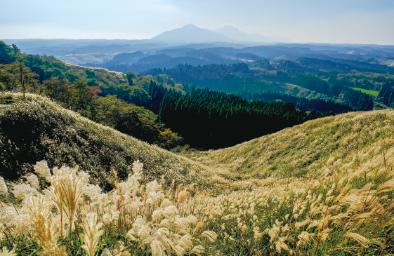
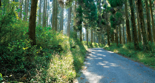
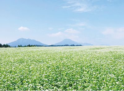
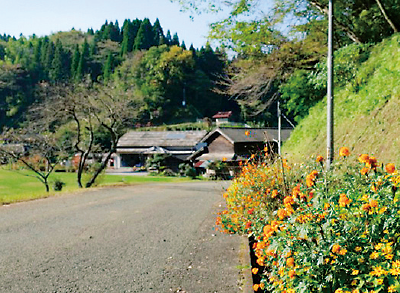
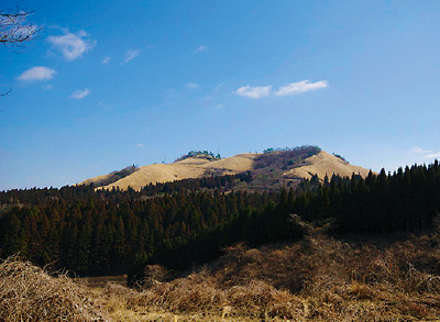
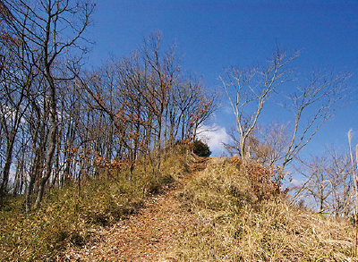
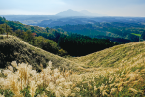
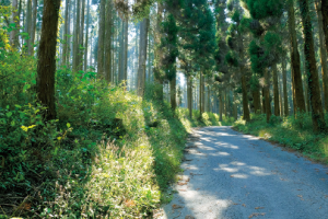
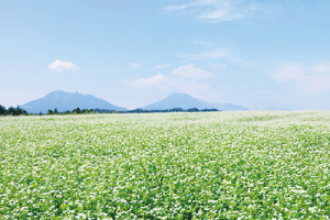
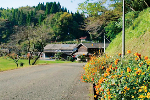
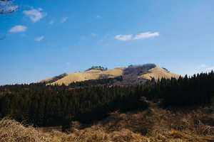
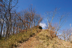
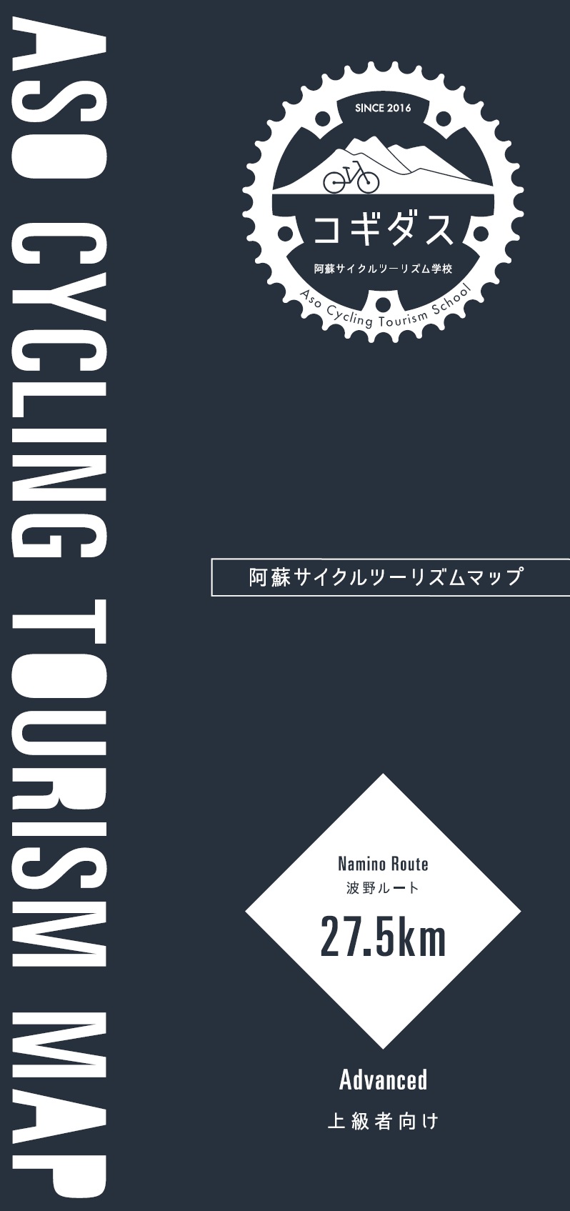
As the name suggests, Namino is an area rich in undulations like waves. The route where you can enjoy ups and downs is a bit hard and is recommended for advanced cyclists or those who are confident in their physical strength. The scenery changes rapidly, as you cross the mountain pass and go through the woods. The seasonal “wild” scenery, such as buckwheat fields, cabbage fields, and grazing cows, is also a major attraction.

コース掲載マップ
阿蘇サイクルツーリズムマップ「波野ルート」

※オンラインの地図上でサイクリングルートが閲覧できるウェブサイト「ルートラボ」が2020年3月末でサービス終了したため、「bikemap」に変更したことで、bikemap内の距離や高低差に誤差が生じている場合がありますが、ご理解ご了承の程、よろしくお願いします。

コース周辺スポット

で絞り込む