


![]()
![]()
![]()
![]()
![]()
![]()
![]()
![]()
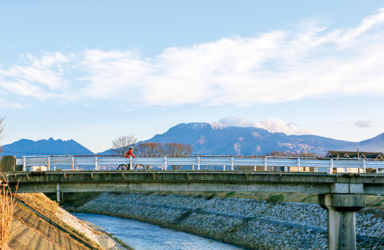
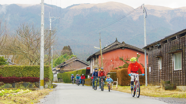
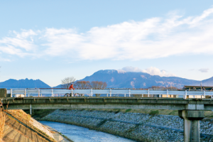
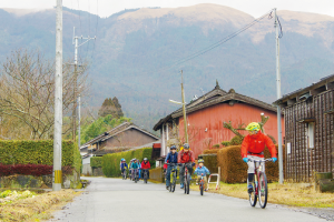
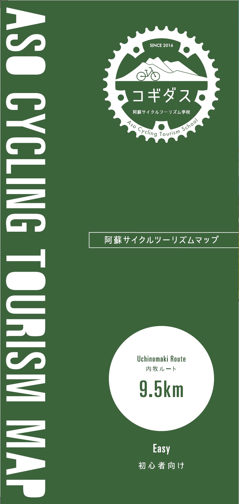
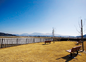
町湯と足湯のまち、内牧。温泉で有名な内牧温泉街と、「なべづる線」と呼ばれる、鍋の取っ手の形をした北外輪山山麓の道を走ります。来た外輪山と阿蘇五岳を両手に見ながら、里の風景をのんびり楽しんで下さい。坂道が少なくわかりやすいルートなので、初心者やご家族連れにもおすすめです。
Uchimaki is a town of hot springs and footbaths. It runs along Uchinomaki Onsen Town, famous for its hot springs, and the road called the “Nabezuru Line,” at the foot of Mt. Kitagaiwa in the shape of a pot handle. Please relax and enjoy the scenery of the village while looking at Mt. Gotairin and Mt. Aso with both hands. There are few slopes and the route is easy to understand, so it is recommended for beginners and families.
※オンラインの地図上でサイクリングルートが閲覧できるウェブサイト「ルートラボ」が2020年3月末でサービス終了したため、「bikemap」に変更したことで、bikemap内の距離や高低差に誤差が生じている場合がありますが、ご理解ご了承の程、よろしくお願いします。

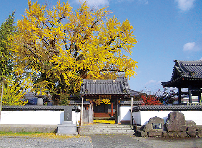
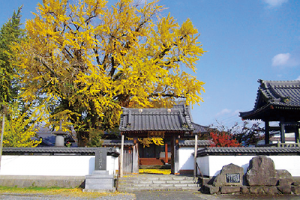
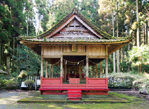
内牧商店街の中にある400年の歴史を持つお寺。かつて夏目漱石が訪れ、小説「二百十日」のモチーフ、舞台にもなりました。大銀杏や枝垂れ桜などの古木が四季の風景を彩ります。
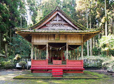
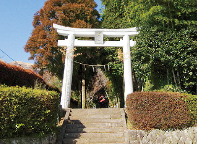
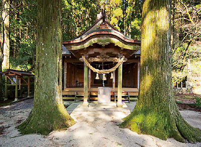
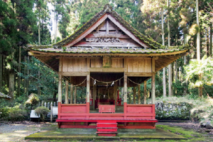
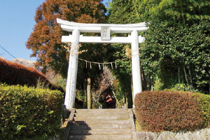
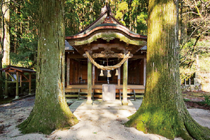
なべづる線から少し奥まった場所にある、別名「女蜂神社」。境内にある夫婦銀杏は樹齢500年を超えると言われ、二本仲良く並んで立っています。
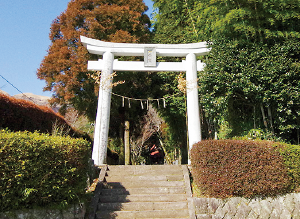
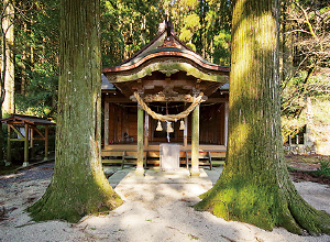
平将門を襲い大乱平定のきっかけとなった男蜂(おばち/クマバチ)の伝承が残り、「男蜂神社」と呼ばれています。9月の例大祭では、2年に1度夜神楽が奉納されます。
俵の上に座り、富くじを抱いたお地蔵さん。宝くじが当たるご利益があると言われています。横の階段を上った高台にある加藤右馬之允墓所からの眺めもおすすめです。
