


![]()
![]()
![]()
![]()
![]()
![]()
![]()
![]()
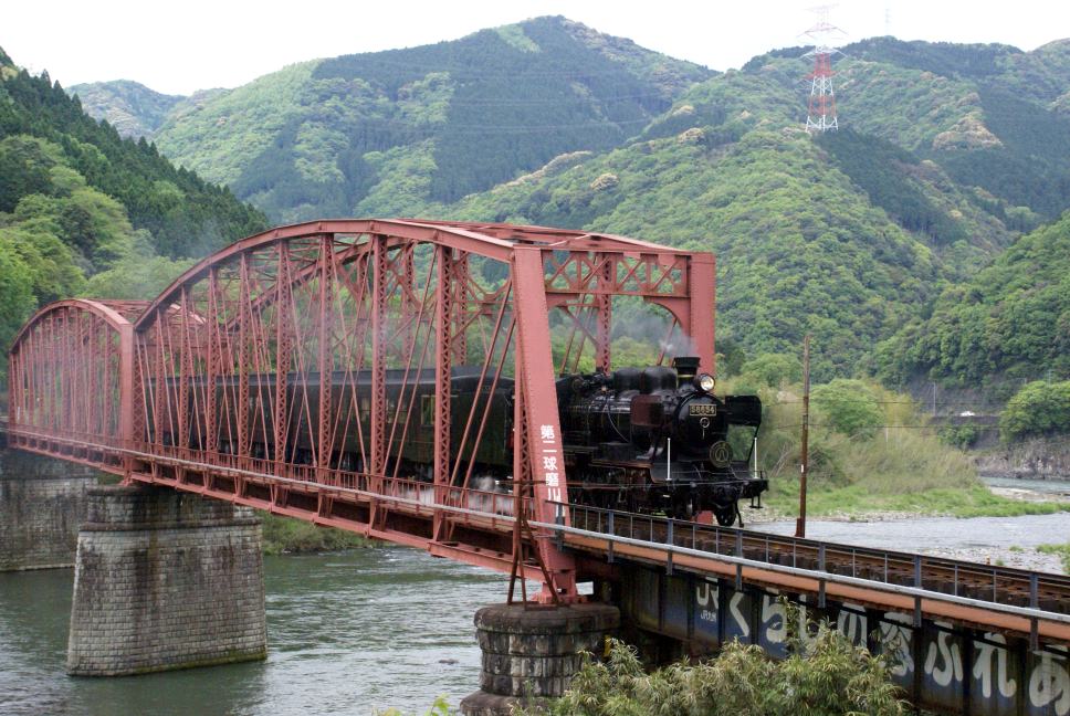
一般県道湯前人吉自転車道線は、熊本県人吉市から球磨郡湯前町までの約29kmの自転車道です。
通称「球磨川サイクリングロード」と呼ばれています。
より詳細な情報を掲載したい自治体の方はこちら
The general prefectural road Yunomae Hitoyoshi bicycle path line is a 29km bicycle path from Hitoyoshi in Kumamoto prefecture to Yunomae-cho in Kuma-gun. It is commonly known as the "Kuma River Cycling Road." For local governments that would like to post more detailed information, click here
※オンラインの地図上でサイクリングルートが閲覧できるウェブサイト「ルートラボ」が2020年3月末でサービス終了したため、「bikemap」に変更したことで、bikemap内の距離や高低差に誤差が生じている場合がありますが、ご理解ご了承の程、よろしくお願いします。
