


![]()
![]()
![]()
![]()
![]()
![]()
![]()
![]()
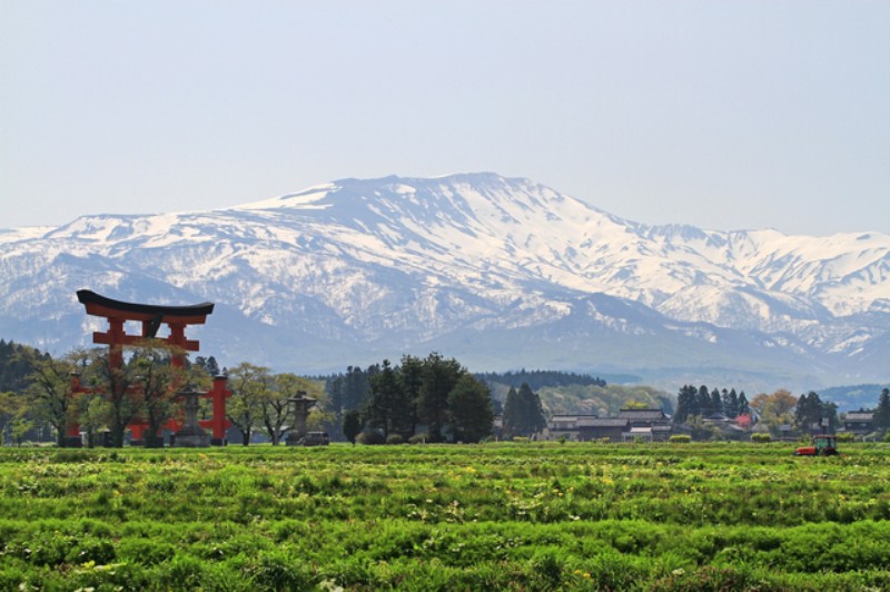
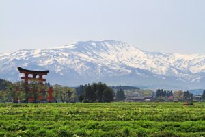
一般県道立川鶴岡自転車道線は、山形県旧立川町(現 庄内町)から鶴岡市までの約41kmの大規模自転車道です。
通称「庄内自転車道」と呼ばれています。
全体計画40.8kmのうち、約31km分を掲載。
より詳細な情報を掲載したい自治体の方はこちら
The general prefectural road Tachikawa Tsuruoka Bicycle Path Line is a large-scale bicycle path of approximately 41 km from the former Tachikawa Town (now Shonai Town) in Yamagata Prefecture to Tsuruoka City. It is commonly known as the "Shonai Bicycle Path." Of the overall plan of 40.8 km, approximately 31 km was posted. Click here for municipalities that would like to post more detailed information
※オンラインの地図上でサイクリングルートが閲覧できるウェブサイト「ルートラボ」が2020年3月末でサービス終了したため、「bikemap」に変更したことで、bikemap内の距離や高低差に誤差が生じている場合がありますが、ご理解ご了承の程、よろしくお願いします。
