


![]()
![]()
![]()
![]()
![]()
![]()
![]()
![]()
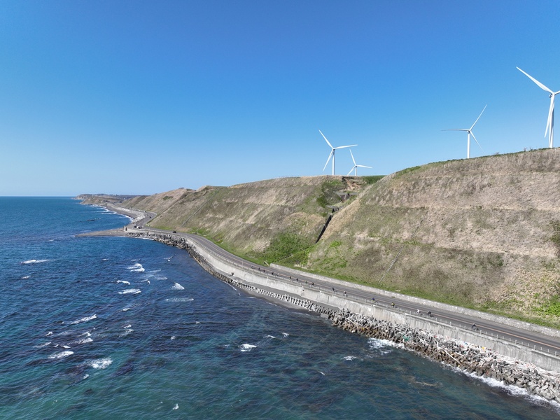
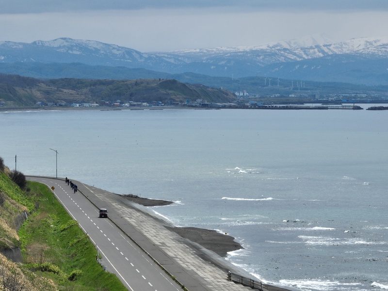
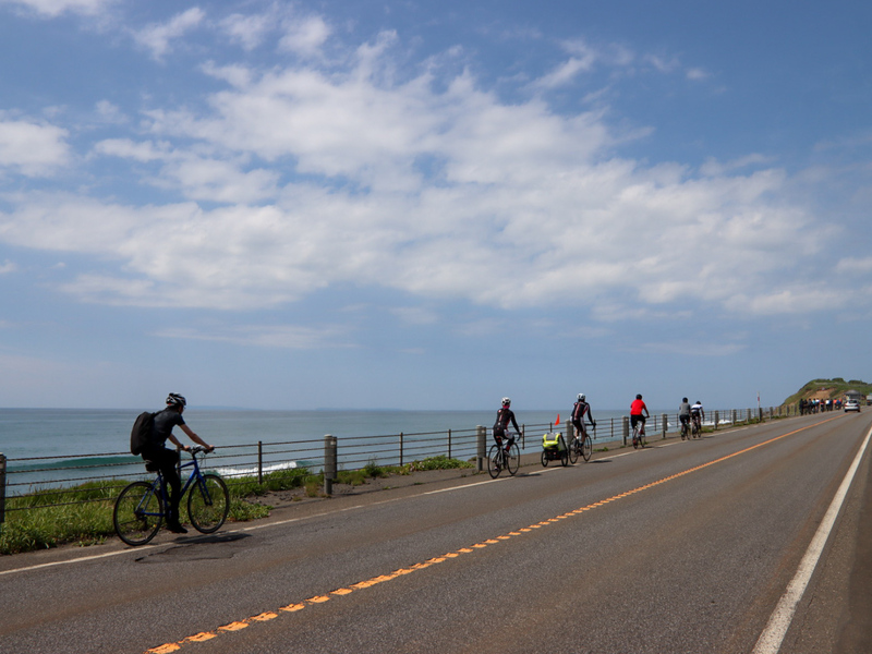
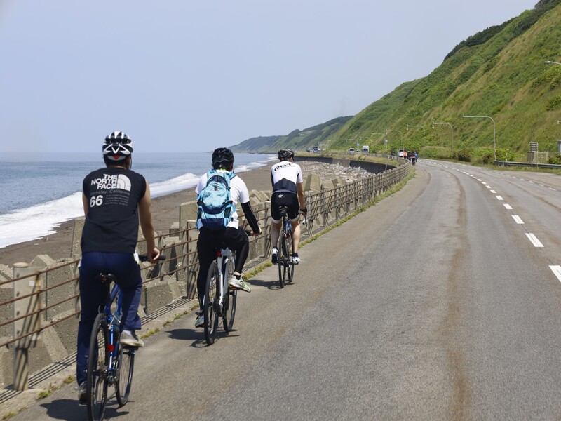
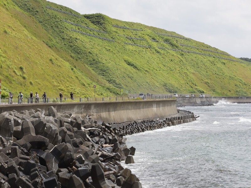
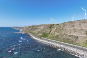
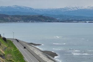
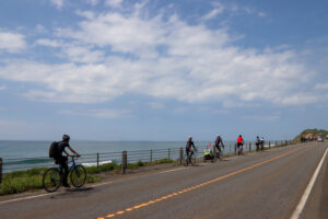
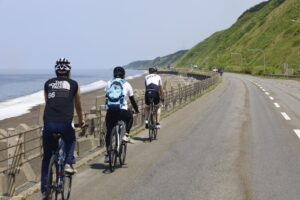
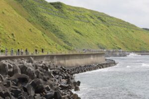
日本海に沿って南北に延びる、高低差が少なく夕陽と海が美しい道。歴史的建造物や風車、日本海に浮かぶ天売島、焼尻島、利尻島を眺めながら最北端に続く、北を目指す誰もが憧れるルート。
This road runs north-south along the Sea of Japan, with few differences in elevation and beautiful sunset and sea. It continues to the northernmost tip while looking at historic buildings, windmills, and Teuri Island, Yagishiri Island floating in the Sea of Japan, and this route is admired by anyone aiming for the north.
※オンラインの地図上でサイクリングルートが閲覧できるウェブサイト「ルートラボ」が2020年3月末でサービス終了したため、「bikemap」に変更したことで、bikemap内の距離や高低差に誤差が生じている場合がありますが、ご理解ご了承の程、よろしくお願いします。
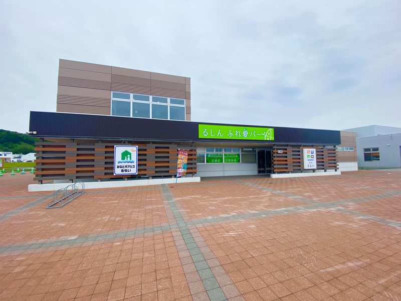
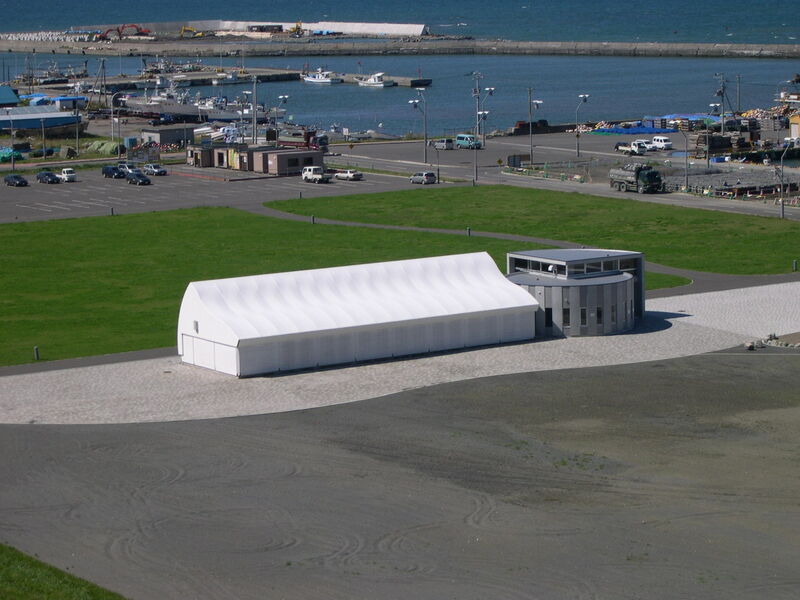
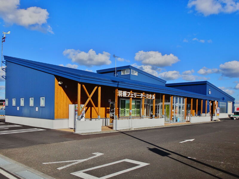
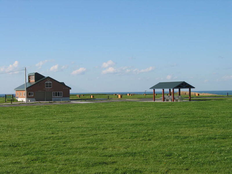
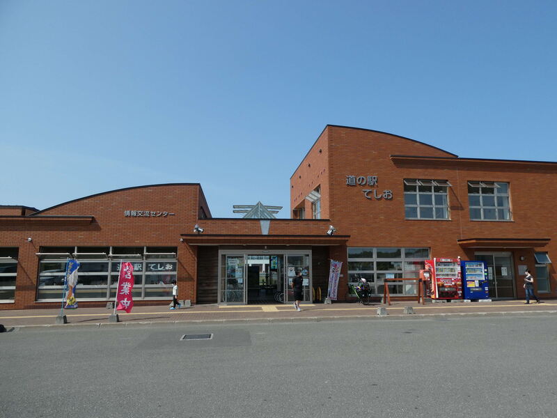
深川・留萌自動車道の終着地となる留萌インターチェンジに近接し、留萌地域のゲートウェイとして地域の情報を発信しています。
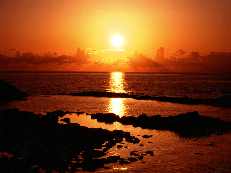
柱を積重ねたような荒々しい奇岩が幾つも並ぶ独特な景観を持つ海岸で、沖に沈む夕陽は、全てのものを染めつくし、その眺めは「日本一の落陽」と訪れる人々を感動させています。
約1キロに亘って砂浜が続く海岸です。南に暑寒岳連峰と礼受漁港を臨み、北に黄金岬が見られる静かな内海で、特に海水がきれいな場所として有名です。
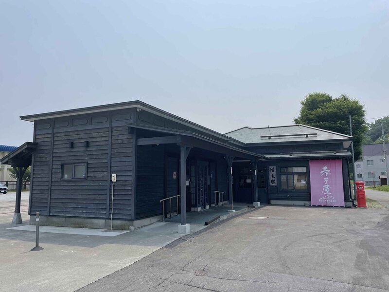
大正10年(1921年)に開通した深川と増毛を結ぶJR留萌本線の終着駅で、現在は、開通当時の駅舎に復元整備し、公衆トイレや駐車場なども整備され、増毛を訪れる人の交流の拠点として活用しています。
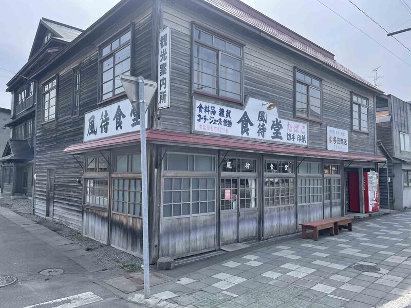
映画「駅ステーション」で使用された旧多田商店。現在は観光案内所として活用。中では映画のスチール写真も。
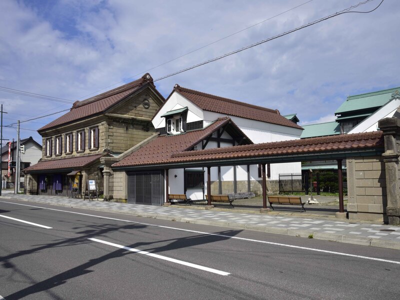
約120年前の明治時代の姿をそのまま現代に伝えている旧商家丸一本間家(きゅうしょうかまるいちほんまけ)。
増毛町市街地に隣接する広さ約10ヘクタールの総天然芝公園です。公園内にはテニスコートやサッカーもできる多目的コートや装備が整ったオートキャンプ場などの施設も充実しています。
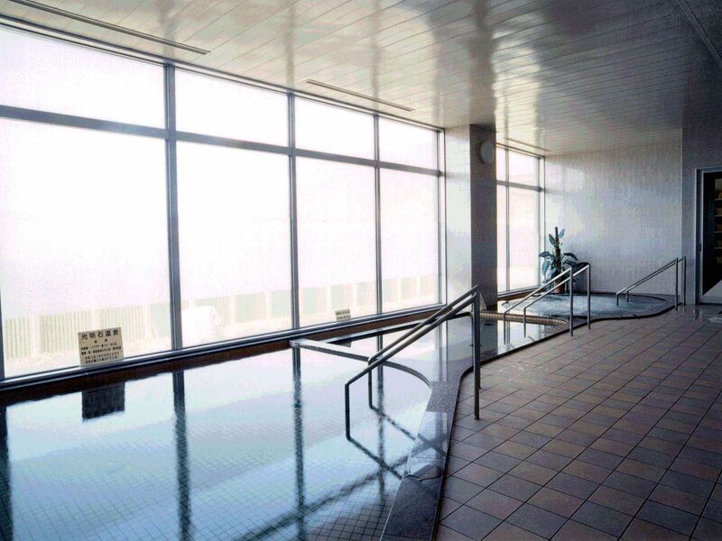
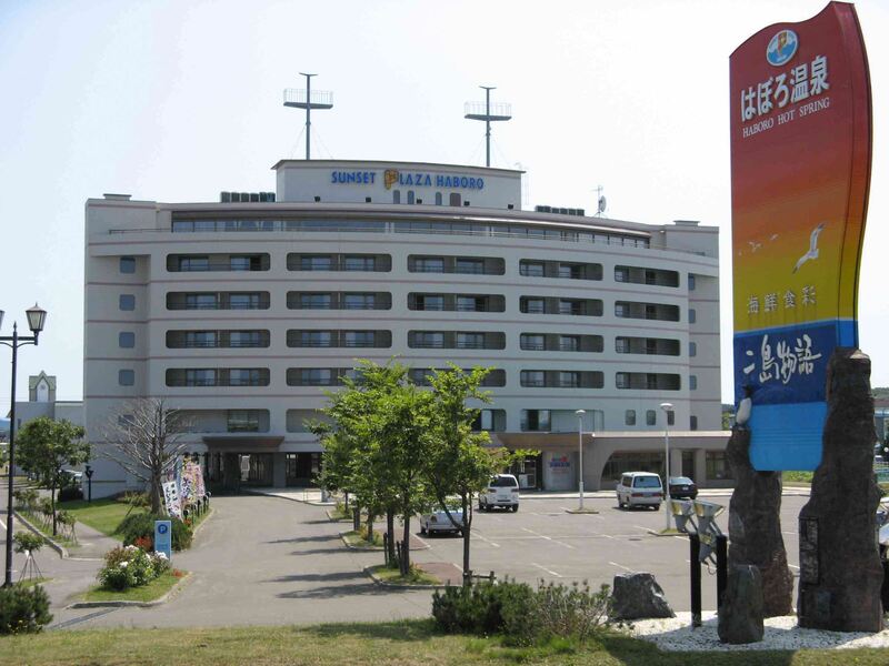
平成10年にオープンした宿泊施設「ゆったりかん」。客室15室を備え、最大53名が宿泊できます。自慢の大浴場は「光明石温泉」。
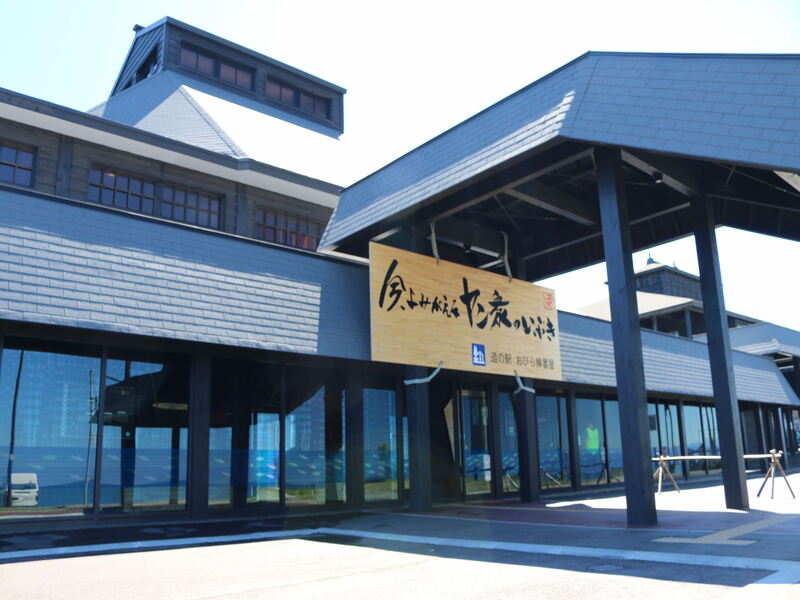
特産品の販売や歴史文化保存展示ホールなどを有している「小平町観光交流センター」、日本海の海の幸が楽しめる食堂が人気の「食材供給施設」、道内屈指の重要文化財「旧花田家番屋」が立ち並び、観光客のみなさまをお迎えします。
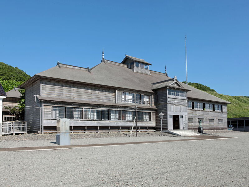
明治38年頃に建築され、道内で現存する番屋では最大の規模を有し、当時雇い人が200人を超えた大鰊漁家。建造物では最北端の国指定重要文化財。
小平市街を眼下に、壮大な日本海を望む丘にある望洋台キャンプ場。オートサイト・バンガローのほか、シャワー・無料駐車場を完備。
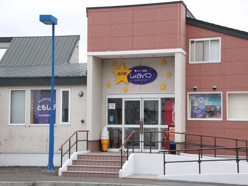
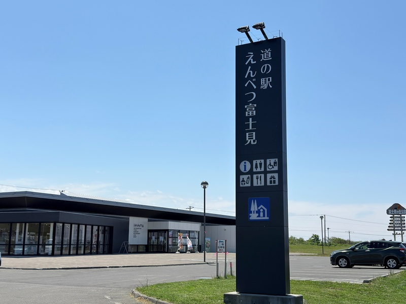
温泉、レストラン、直売所「よってけ屋」など、多彩な施設を備えた道の駅です。地元食材をふんだんに使った料理と天然温泉が特に好評で、日本海を眺めながら、ゆったりと足湯もお楽しみいただけます。
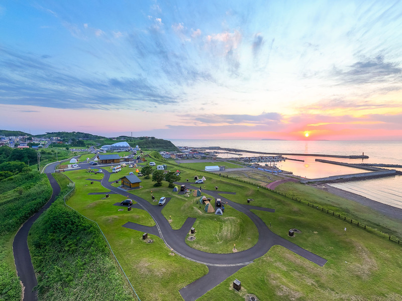
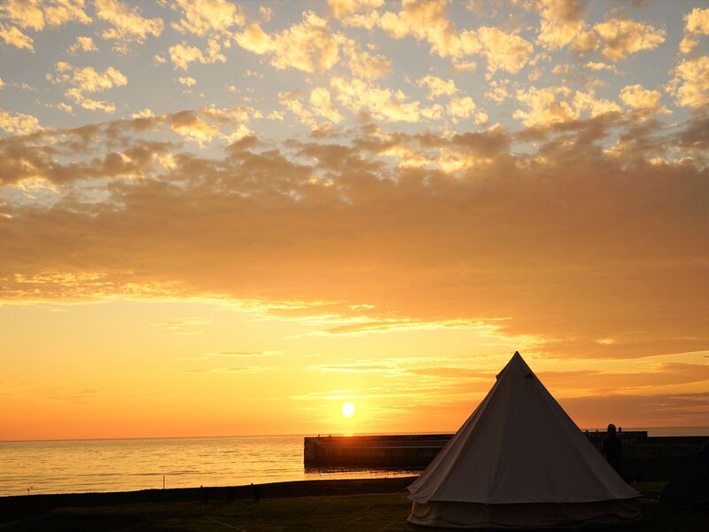
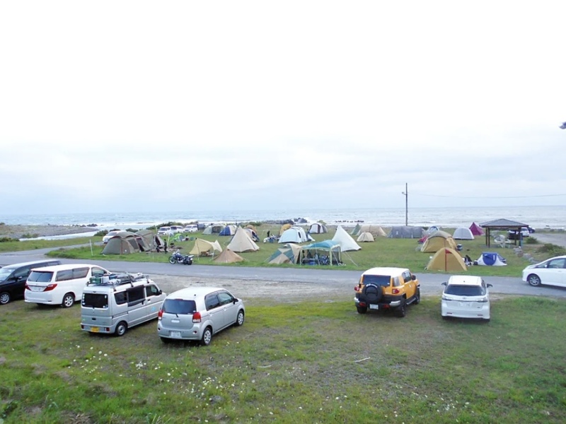
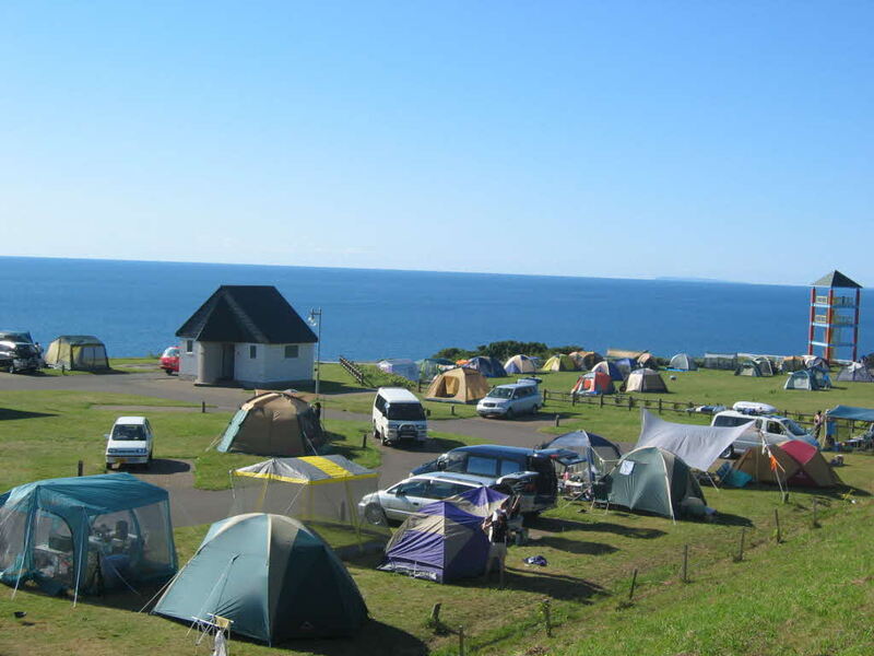
海水浴場や道の駅「風Wとままえ」に隣接した丘の上にあるキャンプ場は、日本海に浮かぶ天売島・焼尻島や利尻富士の眺望が美しく、日本海に沈む夕日は素晴らしいロケーションを演出してくれます。
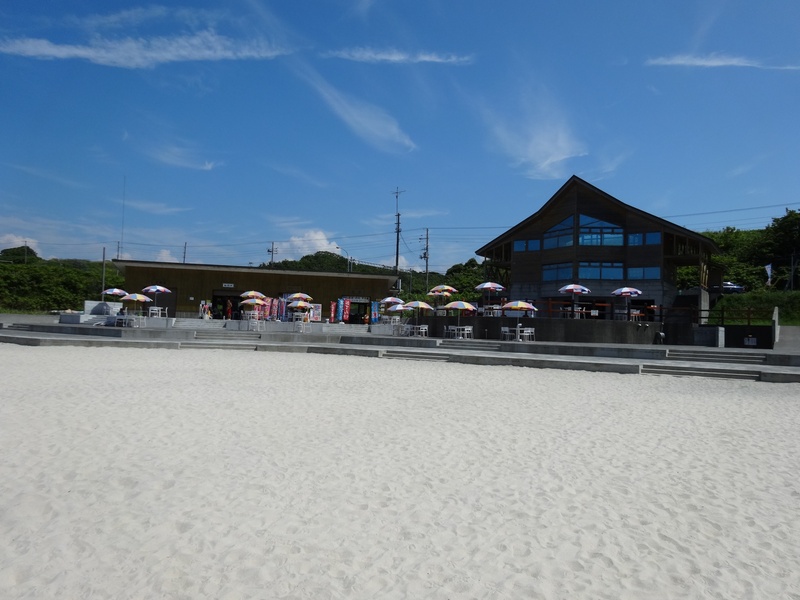
白く広がる砂浜と、海に沈む美しい夕日が楽しめる人気のビーチスポットです。ゆったり過ごすもよし、海遊びを楽しむもよし。開放感あふれるロケーションで、苫前の夏を満喫できます。

町のアイコン的存在となっているヒグマのモニュメント、思わず写真を撮りたくなる人気のフォトスポットです。
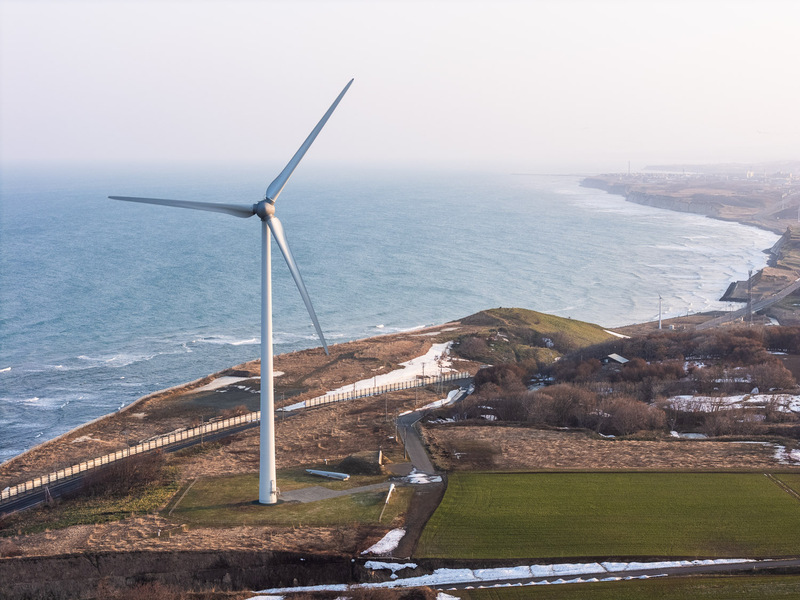
町がかつて「厄介だった風」を有効な資源として捉え直し、「風力発電 × 観光 × 地域づくり」のシンボルとすることで誕生した場所です。

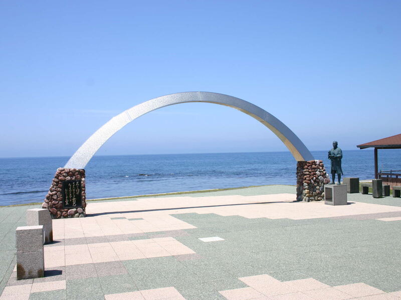
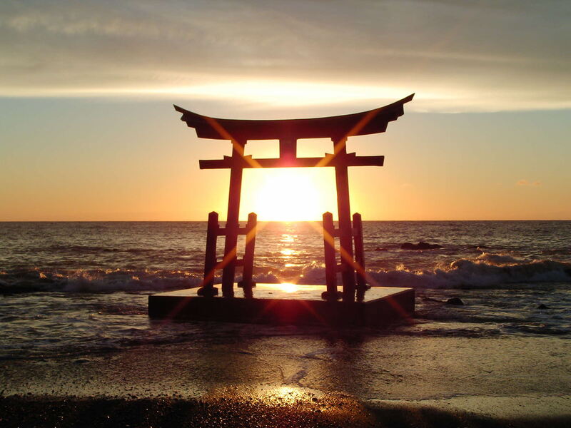
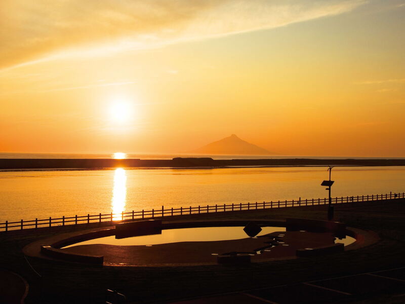
大海原の先には天売島・焼尻島の夫婦島が浮かび、夕暮れにはきれいな夕日を眺めることができます。
中核施設は、岬センターの向い側にあるレストハウスともしびで、道の駅機能のほか、軽食・喫茶、バーベキュー、地元特産品のお土産品販売等のコーナーがあります。
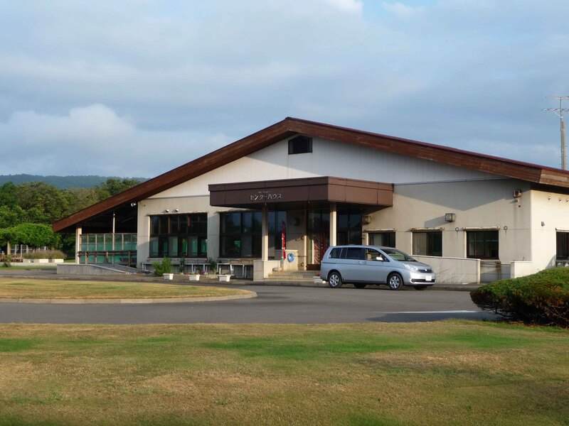
キャンピングカーサイト(3サイト)、スタンダードカーサイト(30サイト)。このほか、センターハウス(管理棟)、フリーサイトがあります。
日本最北のもち米生産地として、ちょっと変わった「もち粉ラーメン」をはじめ、名物「ジャンボソフトクリーム」などが販売しています。
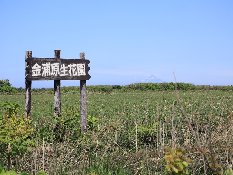
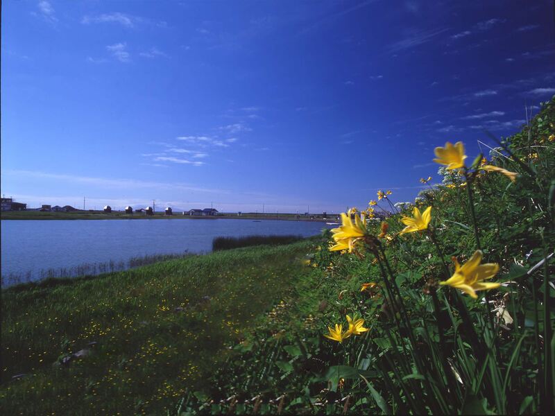
6月から7月にかけてエゾカンゾウの花が一斉に咲き黄色いじゅうたんのようになり、海をへだてた利尻富士とのコントラストが見事です。
天塩町の観光案内を始め特産品の販売や、しじみ汁やしじみラーメンなどが味わえるレストランの機能が備わっています。
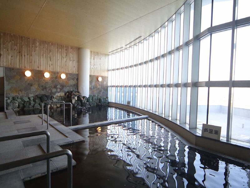
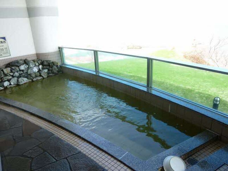
雄大な日本海を眺めながら贅沢な気分でくつろげる温泉。天気がよければ、利尻富士や絶景の夕映も眺められる絶景ポイント。
北海道で2番目の長流天塩川河口河川敷につくられた「天塩川河川公園」。青々とした芝生と雄大な天塩川、対岸の砂洲から広がる日本海。
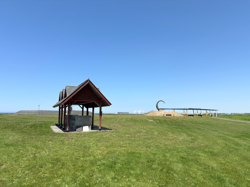
鏡沼を中心にした公園で、バーベキューを楽しめる多目的施設やキャンプ場を設置しており、西側の丘にはハマナス100万本を目標にボランティアが植栽活動を進めています。
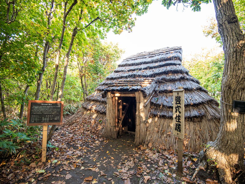
天塩川沿岸の砂丘林に数多く分布していた竪穴住居を復元したもので、周辺は自然散策も楽しめます。
