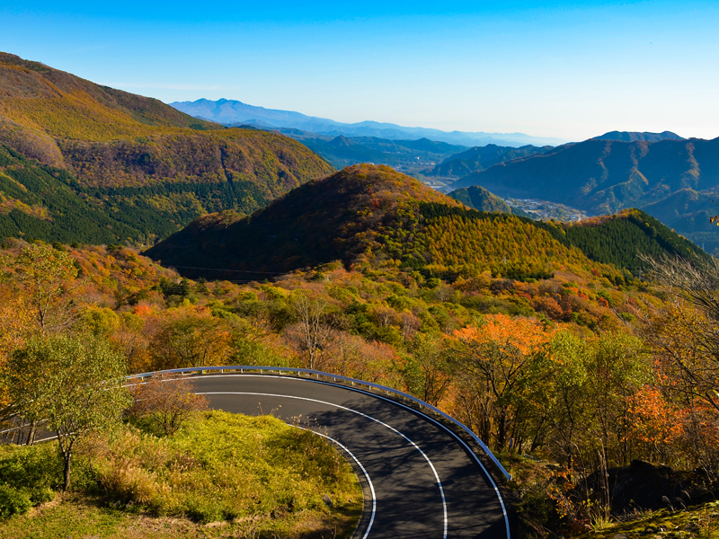
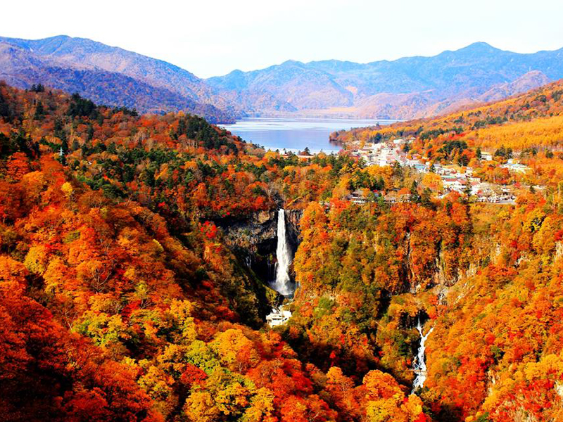
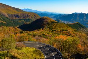
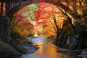
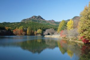
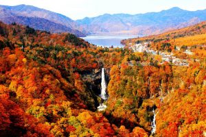
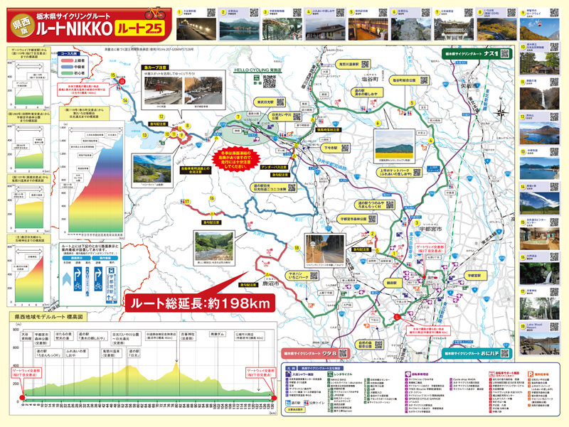
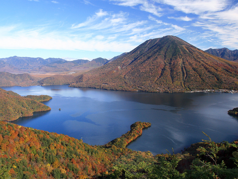
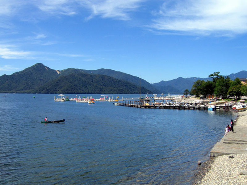
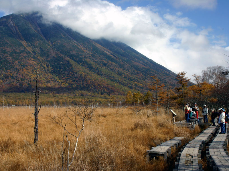
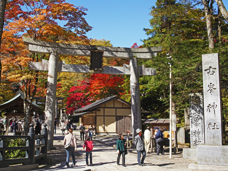
It is a model route with a total length of about 198 km that passes through 4 cities and towns in the western region of the prefecture and goes around majestic nature such as Mount Kogashiyama, Mount Nantai, Lake Chuzenji, and Senjogahara, and historical cultural heritage sites such as the world heritage site “Nikko's Shrines and Temples.” Enjoy premium cycling on slopes representative of this prefecture, such as Irohazaka and Furumegahara Kaido!