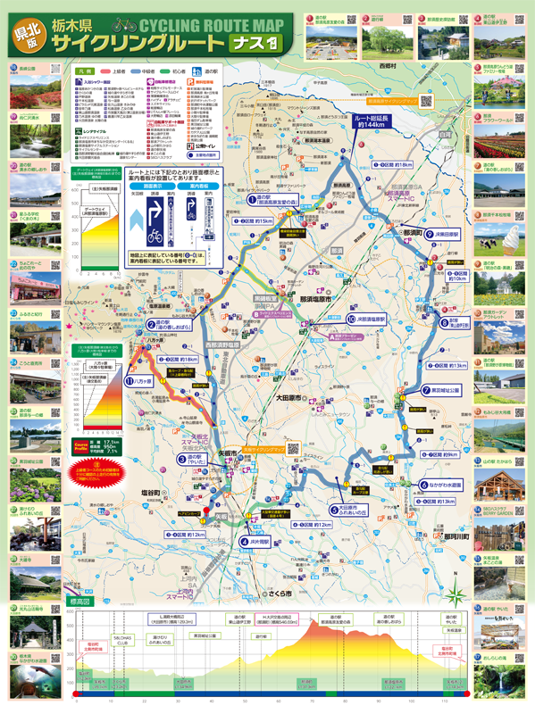
コース・マップ検索
ナス1
距離 Distance:
144km
獲得標高 上り Elevation Gain (Up):
2380m
獲得標高 下り Elevation Gain (Down):
ー
最大標高差 Maximum elevation difference:
ー
県北地域の6市町を通過し、那須連山や那珂川、田園風景の雄大な景色や温泉、牧場、社寺等地域観光資源を巡る全延長約144km のモデルルートです。
It is a model route with a total length of about 144 km that passes through 6 cities and towns in the northern part of the prefecture and goes around regional tourism resources such as the Nasu Mountain Range, the Naka River, the majestic scenery of rural landscapes, hot springs, ranches, shrines, and temples.
コース掲載マップ 栃木県サイクリングルート「ナス1」
オススメスポット ビュースポット いきもの・植物 グルメ ショッピング 道の駅 温泉 宿泊 病院 レンタサイクル 自転車販売店 サイクリングサポート トイレ その他
※オンラインの地図上でサイクリングルートが閲覧できるウェブサイト「ルートラボ」が2020年3月末でサービス終了したため、「bikemap」に変更したことで、bikemap内の距離や高低差に誤差が生じている場合がありますが、ご理解ご了承の程、よろしくお願いします。
コース周辺スポット
全て
ビュースポット
いきもの・植物
グルメ
道の駅
温泉
トイレ
その他
で絞り込む
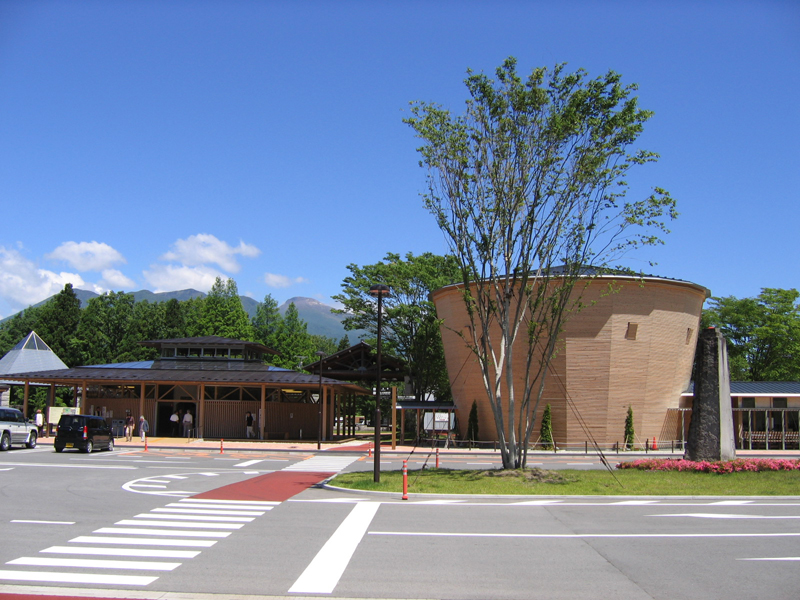
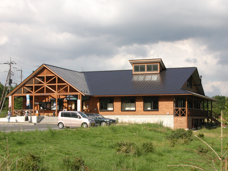
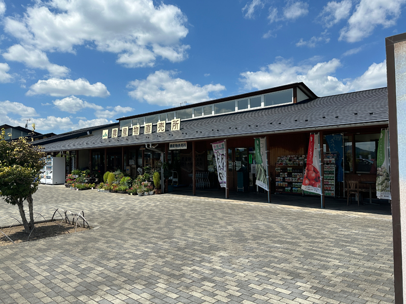
道の駅「那須高原友愛の森」
住所:栃木県那須郡那須町大字高久乙593-8
TEL:0287-78-0233
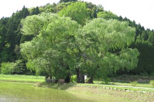
遊行柳
住所:栃木県那須郡那須町大字芦野2503
TEL:0287-74-7007(那須歴史探訪館)
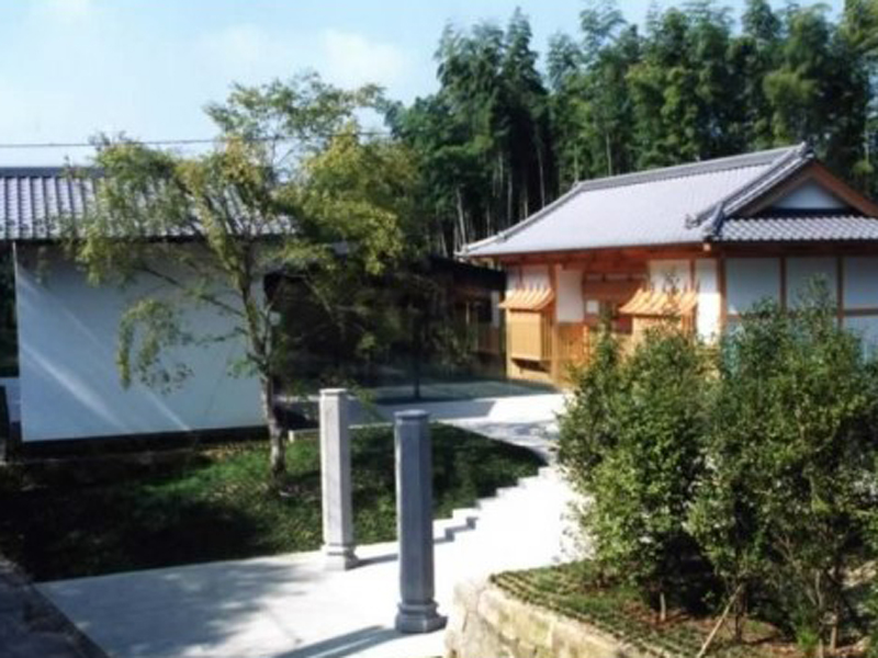
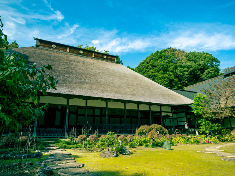
那須歴史探訪館
住所:栃木県那須郡那須町大字芦野2893番地
TEL:0287-74-7007(那須歴史探訪館)
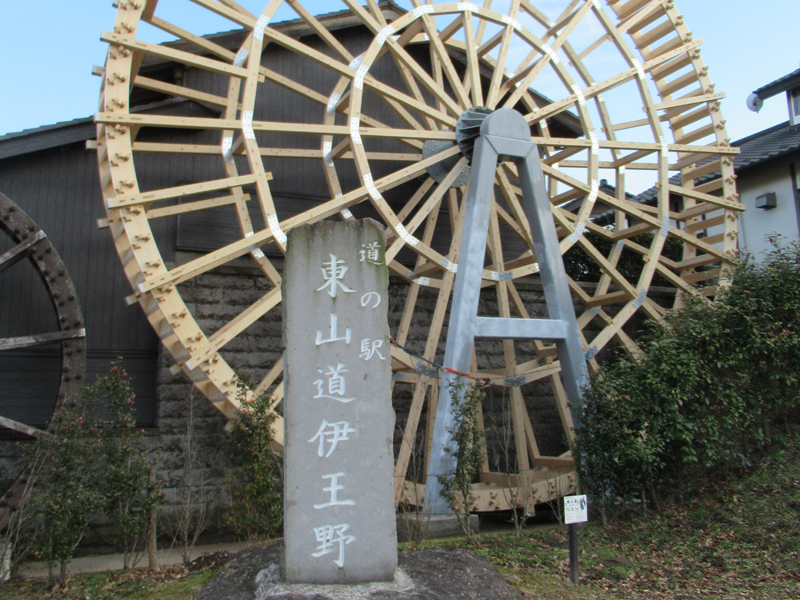
道の駅「東山道伊王野」
住所:栃木県那須郡那須町大字伊王野459
TEL:0287-75-0653
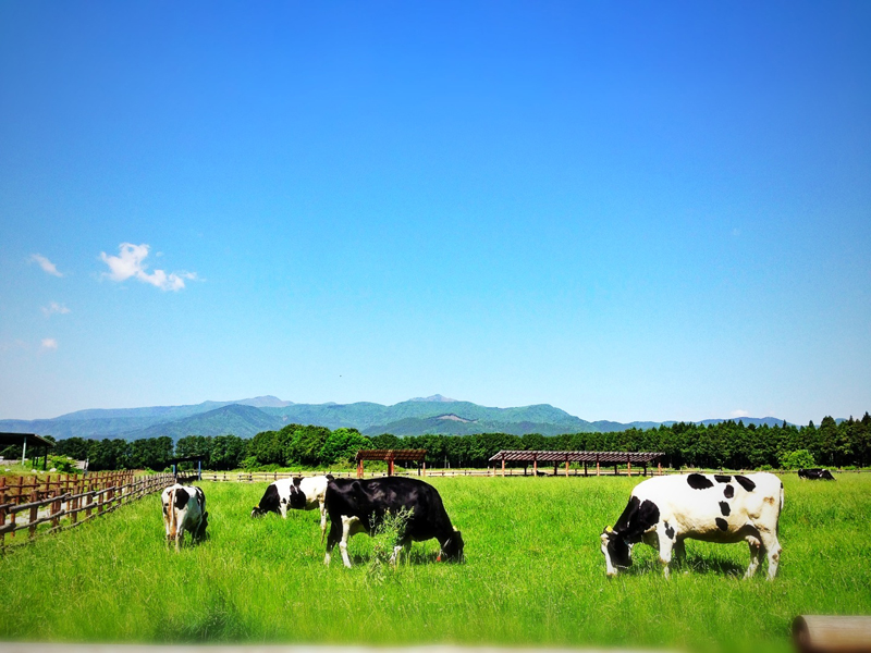
那須高原りんどう湖ファミリー牧場
住所:栃木県那須郡那須町高久丙414-2
TEL:0287-76-3111(那須高原りんどう湖ファミリー牧場)
那須フラワーワールド
住所:栃木県那須郡那須町大字豊原丙5341-1
TEL:0287-77-0400(那須フラワーワールド)
道の駅「湯の香しおばら」
住所:栃木県那須塩原市関谷442
TEL:0287-35-4401
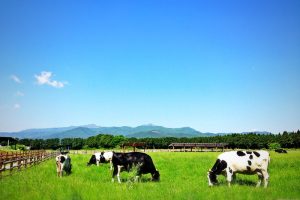
那須千本松牧場
住所:栃木県那須塩原市千本松799
TEL:0287-36-1025(千本松牧場)
道の駅「明治の森・黒磯」
住所:栃木県那須塩原市青木27
TEL:0287-63-0399(道の駅「明治の森・黒磯」)
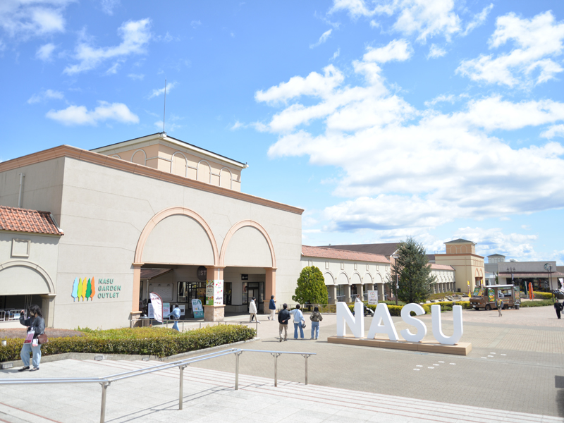
那須ガーデンアウトレット
住所:栃木県那須塩原市塩野崎184-7
TEL:0287-65-4999
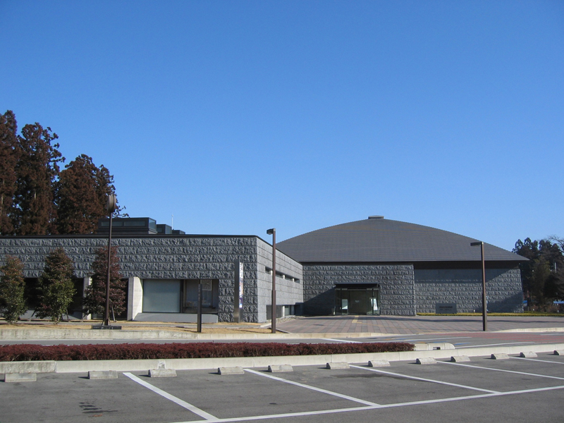
那須野が原博物館
住所:栃木県那須塩原市三島5-1
TEL:0287-36-0949(那須野が原博物館)
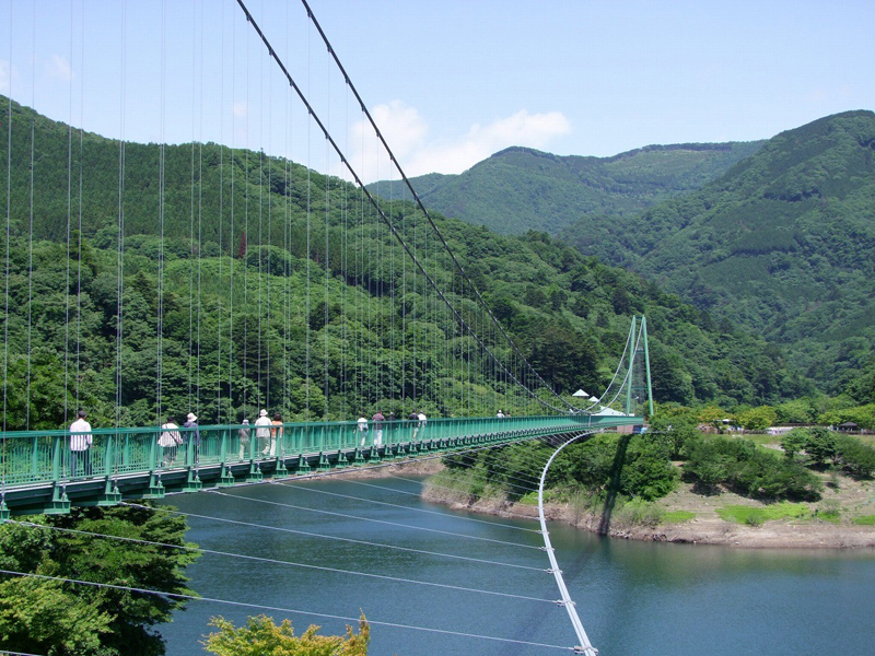
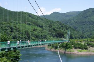
もみじ谷大吊橋
住所:栃木県那須塩原市関谷1425-60
TEL:0287-34-1037(森林の駅)
山の駅たかはら
住所:栃木県矢板市下伊佐野991-3
TEL:0287-43-1515(山の駅たかはら)
58ロハスクラブBERRY GARDEN
住所:栃木県矢板市安沢2180
TEL:0287-41-0058
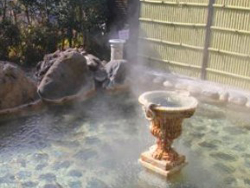
矢板温泉まことの湯
住所:栃木県矢板市館ノ川695-28
TEL:0287-43-8800
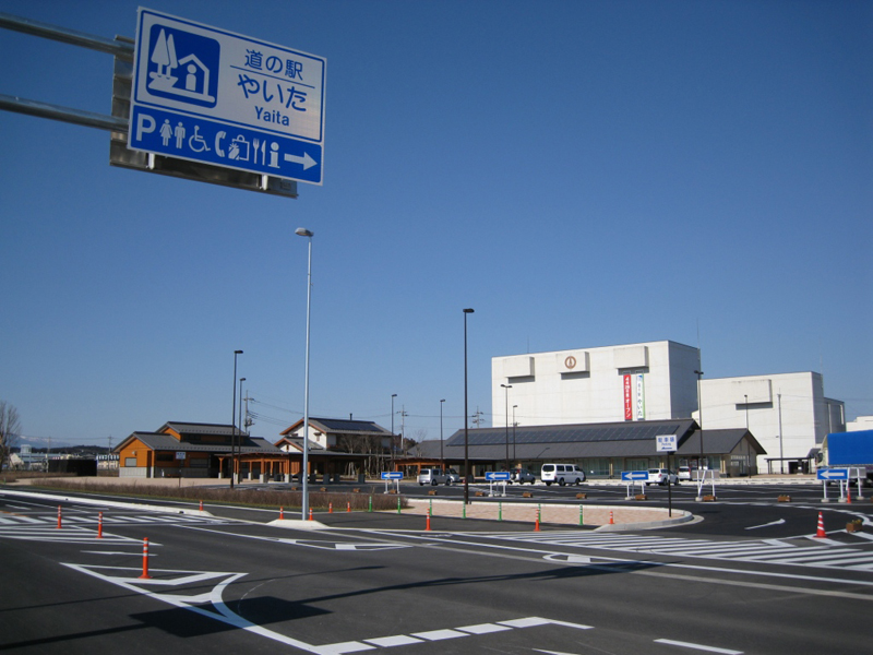
道の駅やいた
住所:栃木県矢板市矢板114-1
TEL:株式会社やいた未来 0287-43-1000 お食事・甘味処「和と輪」 0287-47-7440
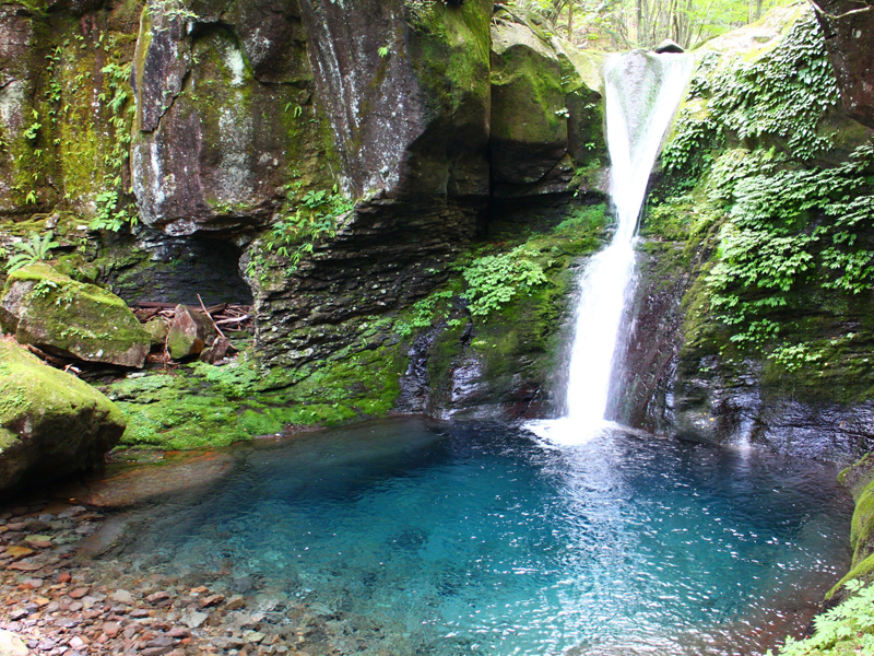
おしらじの滝
住所:栃木県矢板市下伊佐野
TEL:0287-43-6211(矢板市商工観光課)
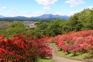
長峰公園
住所:栃木県矢板市中416-1
TEL:0287-43-6211(矢板市商工観光課 )
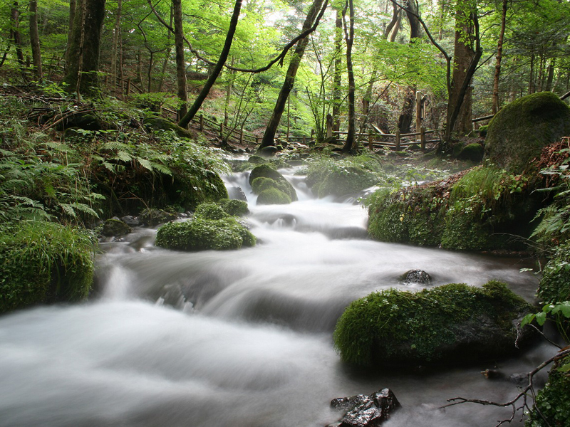
尚仁沢湧水
住所:栃木県塩谷郡塩谷町上寺島1614
TEL:0287-45-2211(塩谷町産業振興課)
道の駅「湧水の郷しおや」
住所:栃木県塩谷郡塩谷町船生3733-1
TEL:0287-41-6101
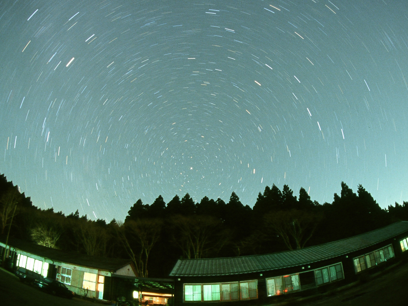
星ふる学校「くまの木」
住所:栃木県塩谷郡塩谷町熊ノ木802
TEL:0287-45-0061
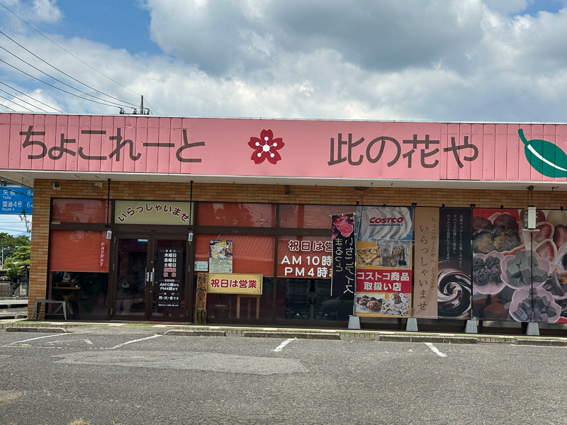
ちょこれーと此の花や
住所:栃木県さくら市上河戸820-1
TEL:028-666-7166
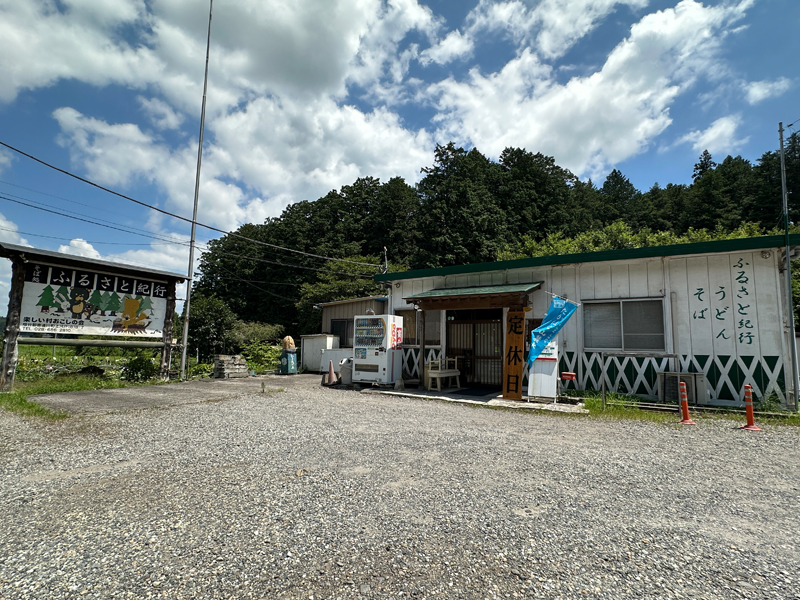
ふるさと紀行
住所:栃木県さくら市上河戸1818-7
TEL:028-686-2810
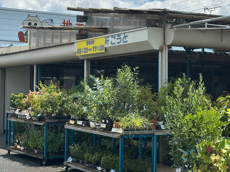
こうと直売所
住所:栃木県さくら市上河戸952-14
TEL:028-686-5423
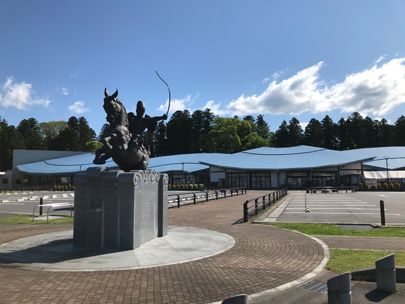
道の駅那須与一の郷
住所:栃木県大田原市南金丸1584-6
TEL:0287-23-8641
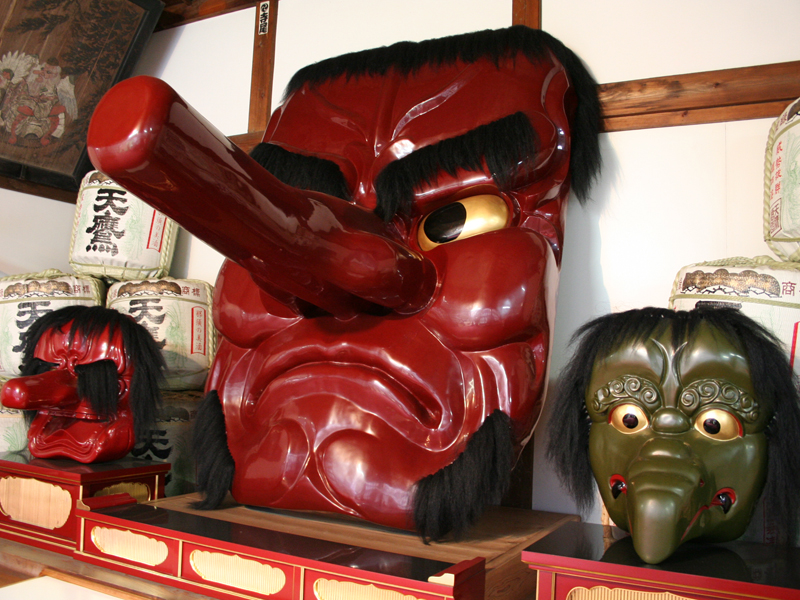
黒羽城址公園
住所:栃木県大田原市黒羽前田
TEL:0287-54-1110(大田原市観光協会)
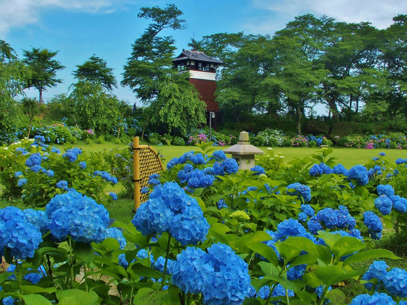
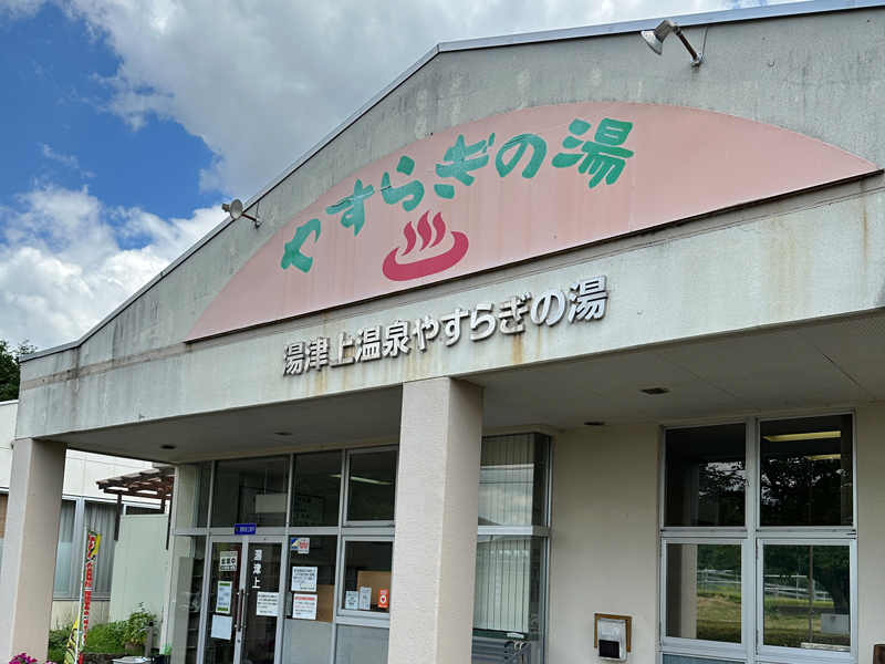
湯けむりふれあいの丘
住所:栃木県大田原市湯津上5-776
TEL:0287-98-2141(湯津上温泉やすらぎの湯 )
大雄寺
住所:栃木県大田原市黒羽田町450
TEL:0287-54-0332
光丸山法輪寺
住所:栃木県大田原市佐良土1401
TEL:0287-98-2606
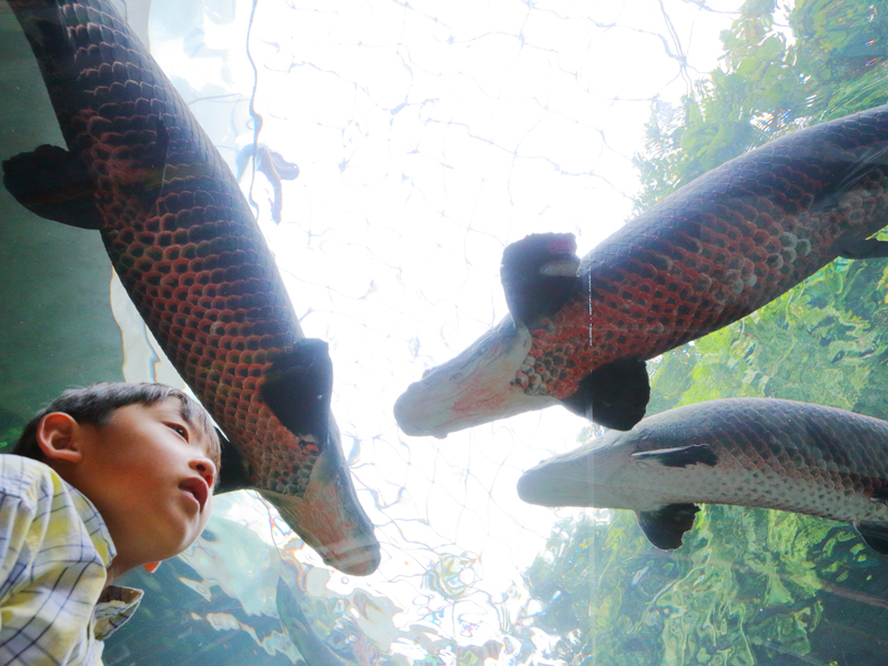
栃木県なかがわ水遊園
住所:栃木県大田原市佐良土2686
TEL:0287-98-3055(栃木県なかがわ水遊園)