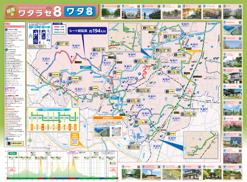
コース・マップ検索
ワタ8
距離 Distance:
194km
獲得標高 上り Elevation Gain (Up):
1475m
獲得標高 下り Elevation Gain (Down):
ー
最大標高差 Maximum elevation difference:
ー
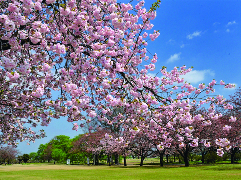
県南地域の8市町を通過し、渡良瀬川・思川のサイクリングロードや足利学校、野木町煉瓦釜といった各市町の見所を巡り、また唐沢山や藤阪峠などのアップダウンを楽しむことができる延長約194kmのモデルルートです。
It is a model route with an extension of about 194 km that passes through 8 cities and towns in the southern part of the prefecture, visiting places of interest in each city and town, such as the Watarase River and Omoikawa Cycling Road, Ashikaga School, and Nogi-cho Rengagama, and also allows you to enjoy the ups and downs of Mt. Karasawa and Fujisaka Pass.
コース掲載マップ 栃木県サイクリングルート ワタラセ8「ワタ8」
オススメスポット ビュースポット いきもの・植物 グルメ ショッピング 道の駅 温泉 宿泊 病院 レンタサイクル 自転車販売店 サイクリングサポート トイレ その他
※オンラインの地図上でサイクリングルートが閲覧できるウェブサイト「ルートラボ」が2020年3月末でサービス終了したため、「bikemap」に変更したことで、bikemap内の距離や高低差に誤差が生じている場合がありますが、ご理解ご了承の程、よろしくお願いします。
コース周辺スポット
全て
オススメスポット
ビュースポット
いきもの・植物
グルメ
サイクリングサポート
トイレ
その他
で絞り込む
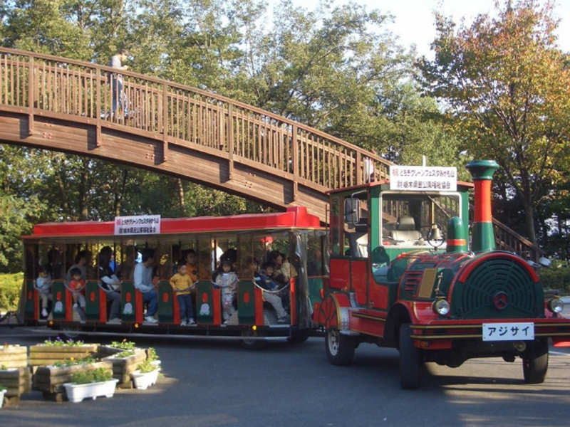
とちぎわんぱく公園
住所:栃木県下都賀郡壬生町国谷2273
TEL:0282-86-5855(とちぎわんぱく公園管理事務所)
壬生町おもちゃ博物館
住所:栃木県下都賀郡壬生町国谷2300
TEL:0282-86-7111
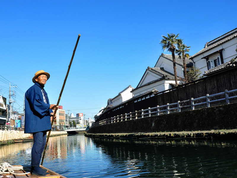
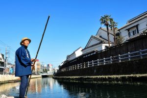
蔵の街遊覧船
住所:栃木県栃木市倭町2-6(乗船場所・待合所)
TEL:0282-23-2003
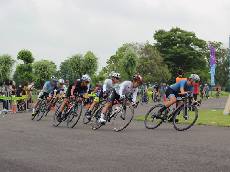
わたらせサイクルパーク
住所:栃木県栃木市藤岡町藤岡1218-1
TEL:080-2200-9760
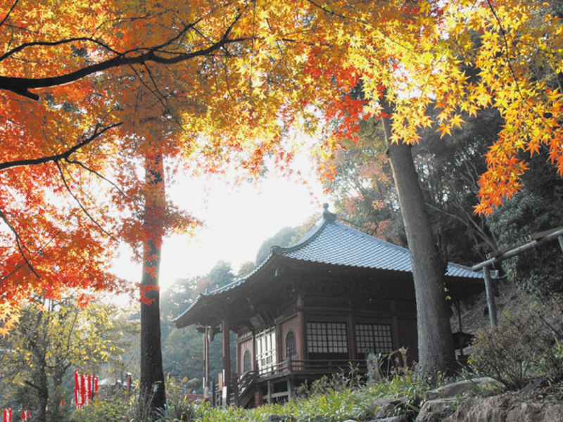
清水寺
住所:栃木県栃木市大平町西山田3427
TEL:0282-43-3863
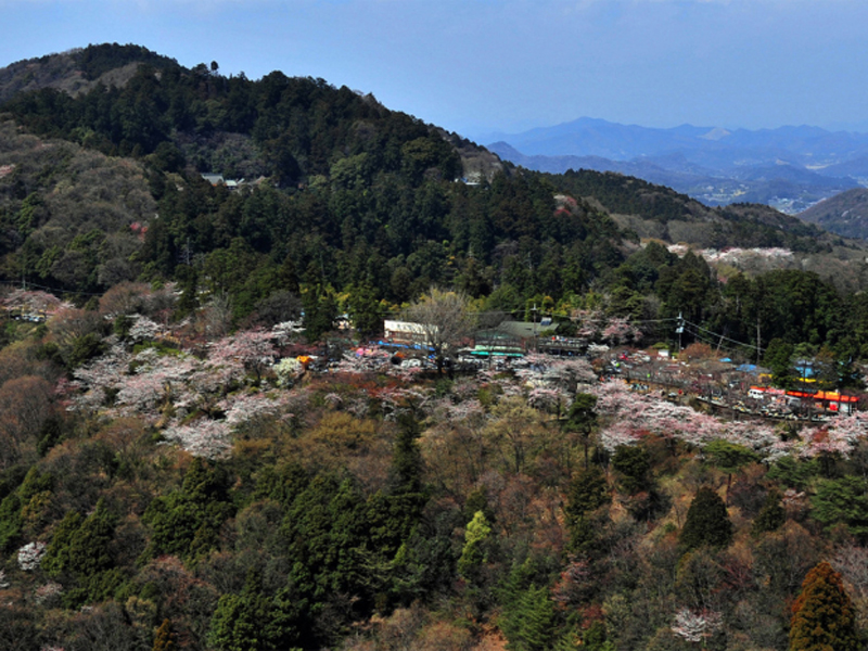
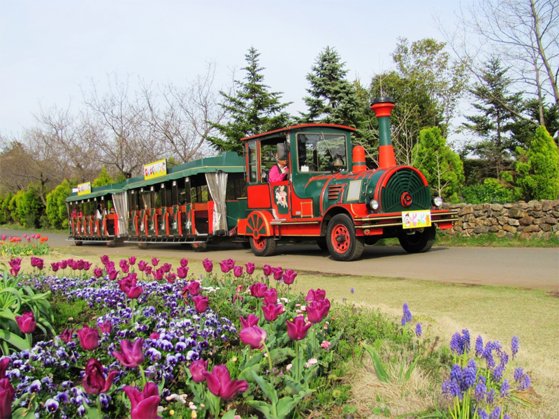
みかも山公園
住所:栃木県栃木市岩舟町下津原1747-1
TEL:0282-55-7272
大平山
住所:栃木県栃木市平井町
TEL:0282-25-2356
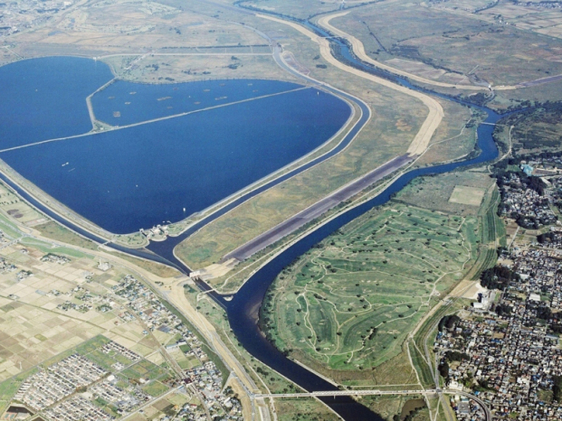
渡良瀬遊水地
住所:栃木県栃木市藤岡町
TEL:0282-62-0919(栃木市渡良瀬遊水地課)
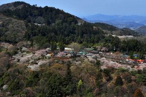
天平の丘公園
住所:栃木県下野市国分寺993-1
TEL:0285-32-8907(下野市商工観光課)
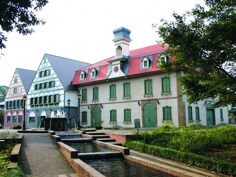
グリムの森グリムの館
住所:栃木県下野市下古山747
TEL:0285-52-1180
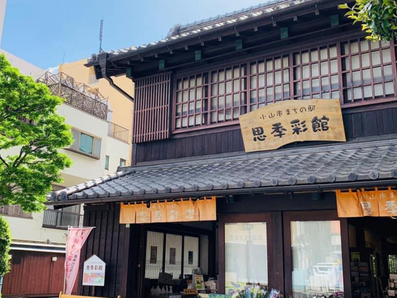
小山市まちの駅思季彩館
住所:栃木県小山市中央町3-5-3
TEL:0285-25-5611
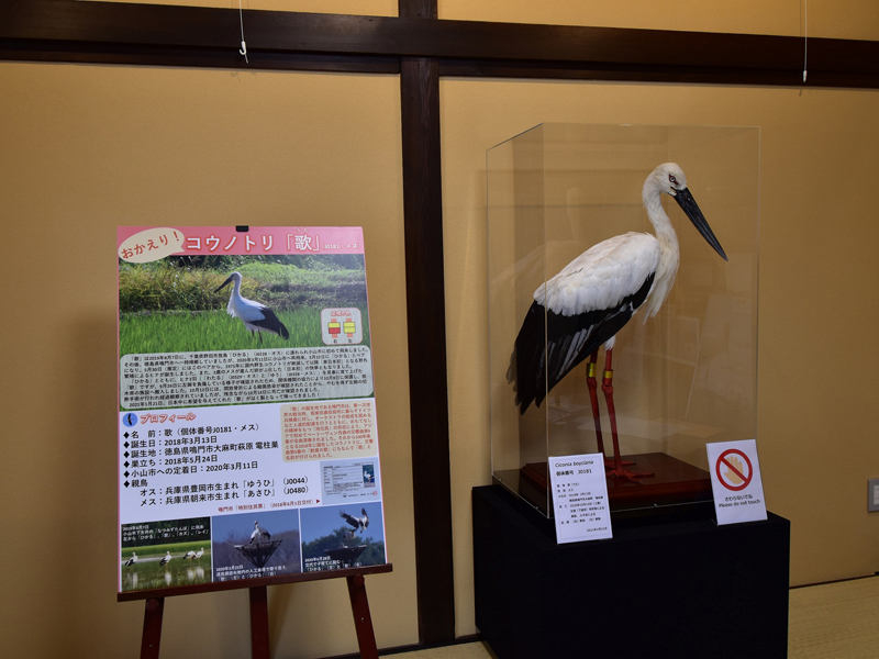
コウノトリ交流館
住所:栃木県小山市下生井865-1
TEL:0280-51-4593
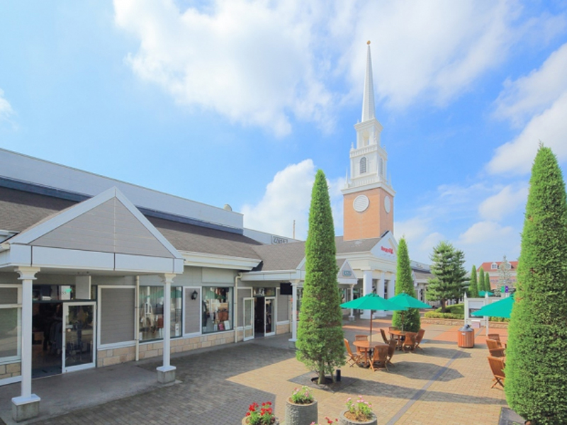
佐野プレミアム・アウトレット
住所:栃木県佐野市越名町2058
TEL:0283-20-5800
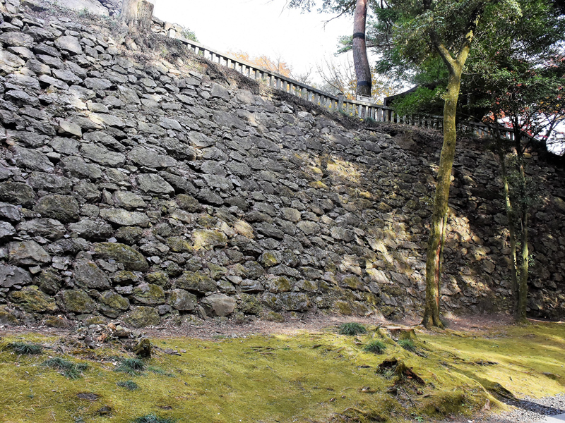
唐沢山城跡
住所:栃木県佐野市富士町1409
TEL:0283-24-1138
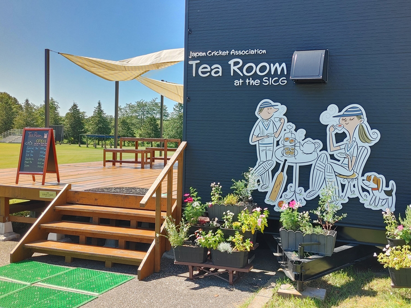
国際クリケット場ティールーム
住所:栃木県佐野市栃本町300-1
TEL:050-3766-4483
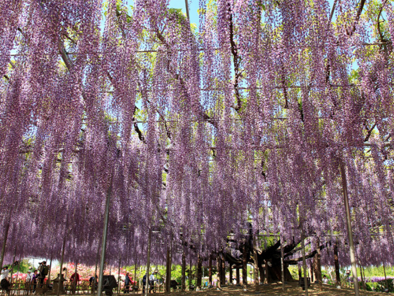
あしかがフラワーパーク
住所:栃木県足利市迫間町607
TEL:0284-91-4939
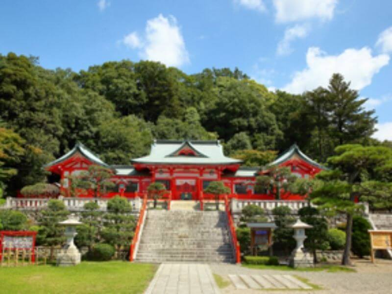
足利織姫神社
住所:栃木県足利市西宮町3889
TEL:0284-22-0313
営業時間:
境内自由(社務所9:00〜16:00)
定休日:
無休
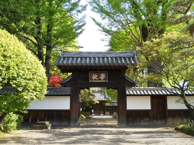
史跡足利学校
住所:栃木県足利市昌平町2338
TEL:0284-41-2655
営業時間:
9:00〜16:30
定休日:
第3水曜
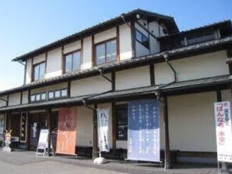
太平記館
太平記館では、足利の土産品の販売、観光情報の提供、休憩スペースなど、訪れた方へのおもてなしをしています。
住所:栃木県足利市伊勢町3-6-4
TEL:0284-43-3000
営業時間:
9:00~17:00
定休日:
年末
RECAMP足利(松田川ダムふれあい広場)
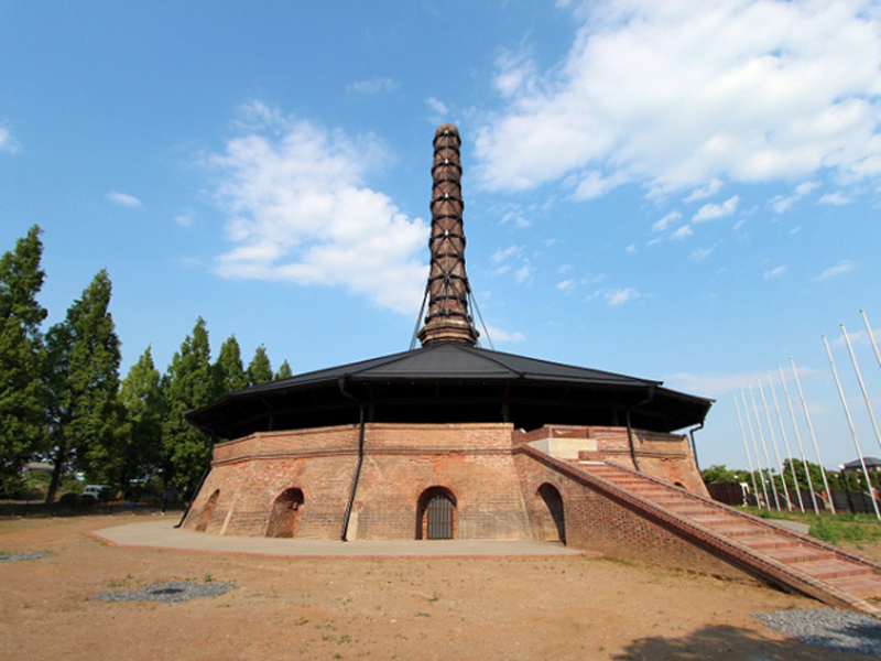
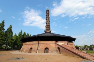
野木町煉瓦窯・野木ホフマン館
住所:栃木県下都賀郡野木町野木3324-10
TEL:0280-33-6667
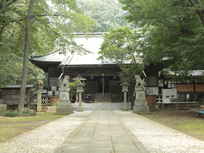
野木神社
住所:栃木県下都賀郡野木町野木2404
TEL:0280-55-0208