コース・マップ検索
おにハチ
距離 Distance:
194km
獲得標高 上り Elevation Gain (Up):
1387m
獲得標高 下り Elevation Gain (Down):
ー
最大標高差 Maximum elevation difference:
ー
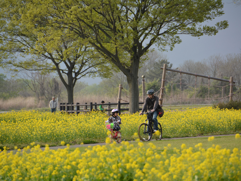
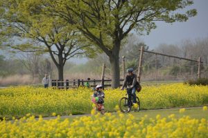
県東地域の12市町を通過し、那珂川や八溝山系の里山など高低差が楽しめる上・中級者向けのルートから鬼怒川サイクリングロードなど比較的平坦な初心者向けのルートまで、幅広い層の方々が楽しむことができる延長約194kmのモデルルートです。
It is a model route with an extension of about 194 km that can be enjoyed by a wide range of people, from routes for advanced and intermediate users who can enjoy differences in elevation, such as the Nakagawa River and Satoyama in the Yamizo Mountains, to relatively flat routes for beginners, such as the Kinugawa Cycling Road, which passes through 12 cities and towns in the eastern part of the prefecture.
コース掲載マップ 栃木県サイクリングルート 鬼怒川・八溝サイクルルート「おにハチ」
オススメスポット ビュースポット いきもの・植物 グルメ ショッピング 道の駅 温泉 宿泊 病院 レンタサイクル 自転車販売店 サイクリングサポート トイレ その他
※オンラインの地図上でサイクリングルートが閲覧できるウェブサイト「ルートラボ」が2020年3月末でサービス終了したため、「bikemap」に変更したことで、bikemap内の距離や高低差に誤差が生じている場合がありますが、ご理解ご了承の程、よろしくお願いします。
コース周辺スポット
全て
オススメスポット
ビュースポット
いきもの・植物
グルメ
道の駅
温泉
宿泊
サイクリングサポート
トイレ
その他
で絞り込む
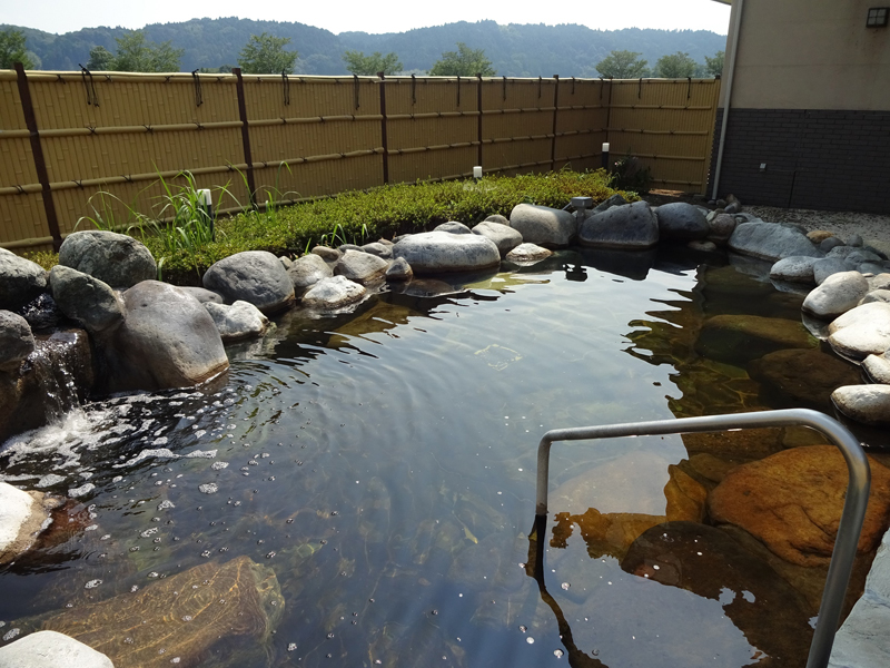
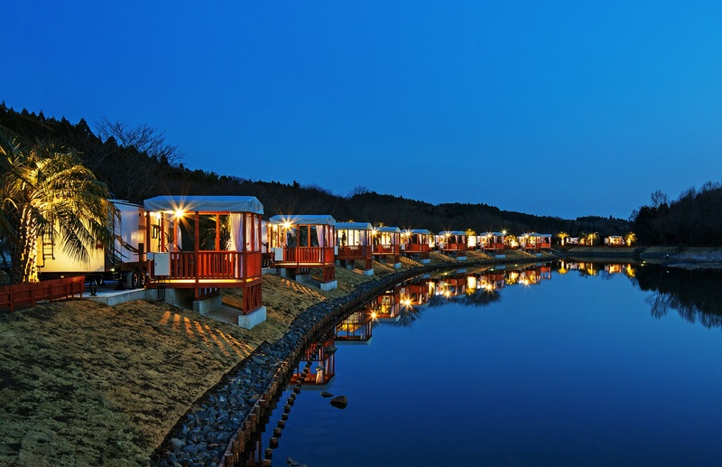
馬頭温泉郷
住所:栃木県那須郡那珂川町小口、小川
TEL:0287-92-5757(那珂川町観光協会)
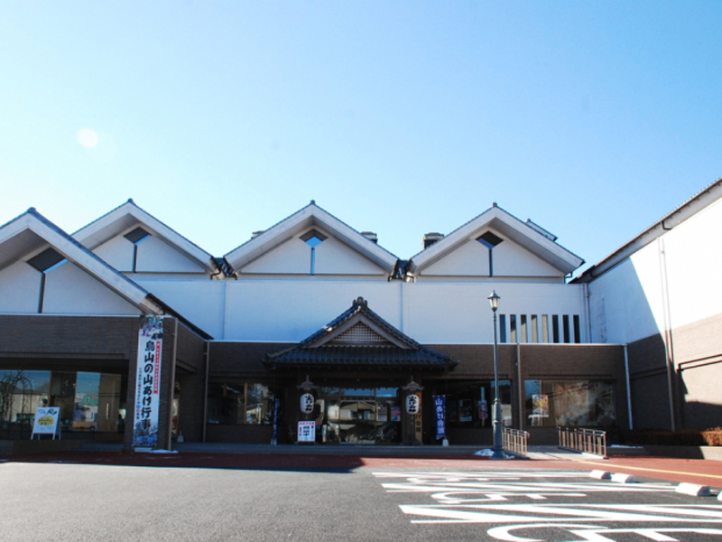
山あげ会館
住所:栃木県那須烏山市金井2-5-26
TEL:0287-84-1977(那須烏山市観光協会)
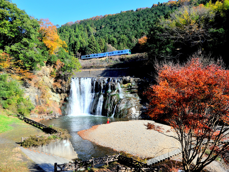
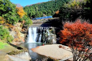
龍門の滝
住所:栃木県那須烏山市滝414
TEL:0287-83-2765(龍門ふるさと民芸館)
和紙の里
住所:栃木県那須烏山市小原沢599
TEL:0287-82-2128(予約は烏山和紙会館 TEL 0287-82-2100)
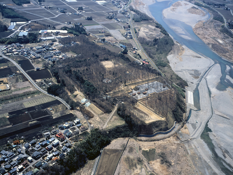
飛山城跡
住所:栃木県宇都宮市竹下町380-1
TEL:028-632-2764(宇都宮市教育委員会文化課)
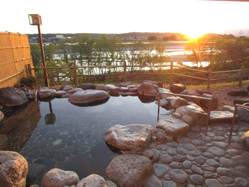
喜連川温泉
住所:栃木県さくら市喜連川
TEL:028-686-6627(さくら市観光協会)
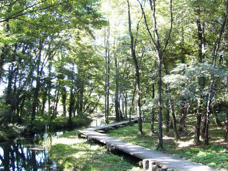
鬼怒グリーンパーク
住所:栃木県塩谷郡高根沢町宝積寺86-1
TEL:028-675-1909(鬼怒グリーンパーク管理事務所)
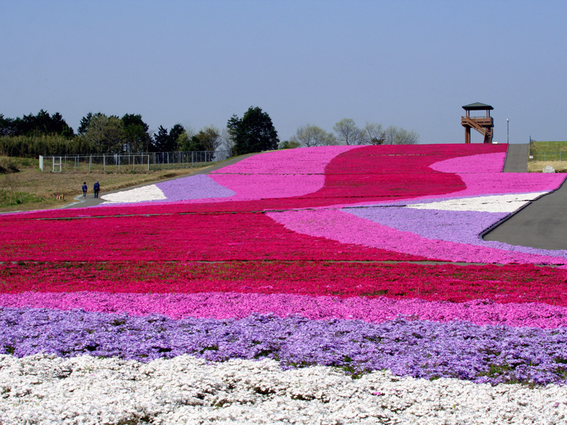
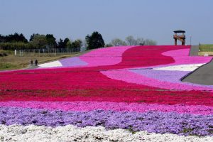
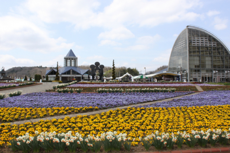
市貝町芝ざくら公園
住所:栃木県市貝町見上614-1
TEL:0285-68-3483(市貝町観光協会)
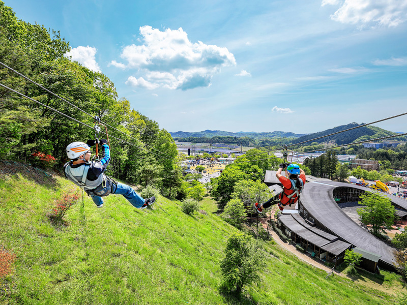
モビリティリゾートもてぎ
住所:栃木県芳賀郡茂木町桧山120-1
TEL:0285-64-0001(モビリティリゾートもてぎ)
茂木の城山公園
住所:栃木県茂木町小井戸付近
TEL:0285-63-5644(茂木町商工観光課)
唐桶宗山公園
住所:栃木県芳賀郡芳賀町東水沼2928
TEL:028-677-0009(芳賀町生涯学習課)
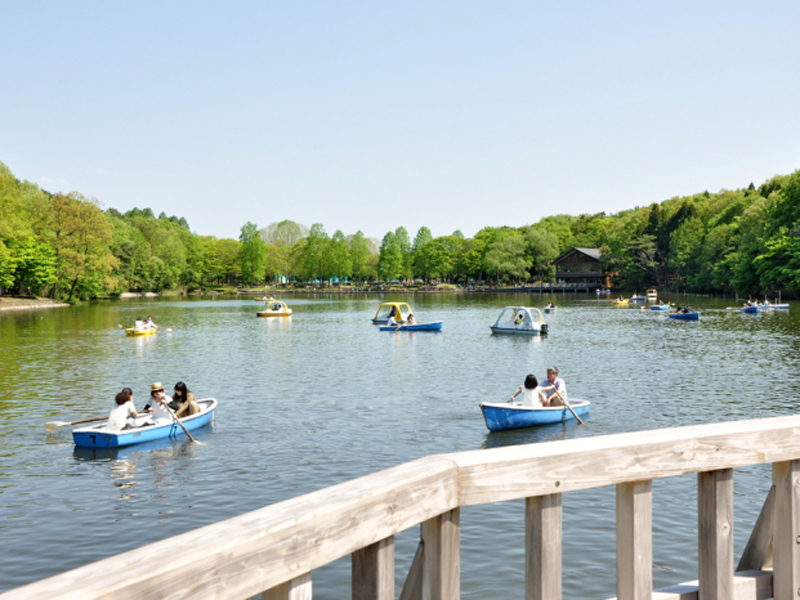
井頭公園
住所:栃木県真岡市下籠谷99
TEL:0285-83-3121(井頭公園管理事務所)
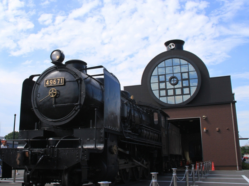
SLキューロク館
住所:栃木県真岡市台町2474-6
TEL:0285-83-9600(SLキューロク館)
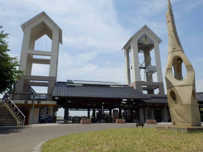
真岡鐵道益子駅
住所:栃木県芳賀郡益子町益子1591-2
TEL:0285-72-2511(真岡鐵道益子駅)
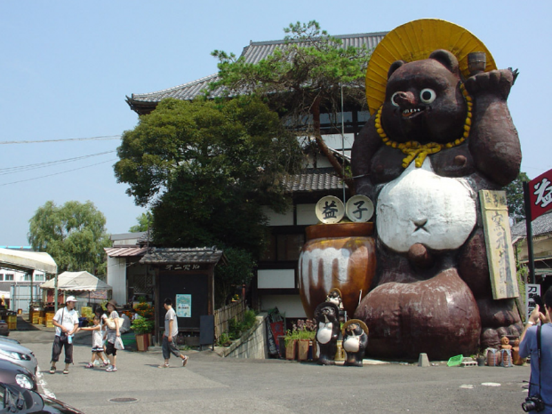
益子焼窯元共販センター
住所:栃木県芳賀郡益子町益子706-2
TEL:0285-72-4444
磯川緑地公園
住所:栃木県河内郡上三川町上郷2166-1(北駐車場)・上郷1917(南駐車場)
TEL:0285-56-9146(上三川町都市建設課)
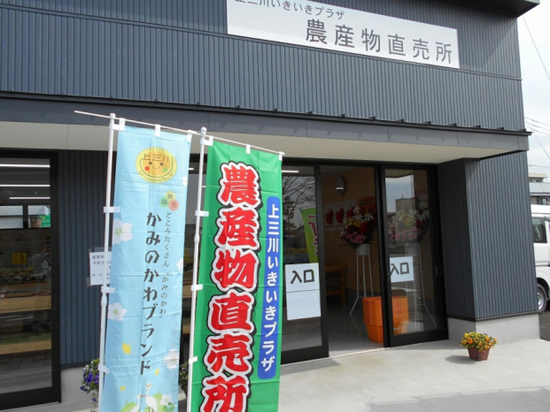
上三川いきいきプラザ農産物直売所
住所:栃木県河内郡上三川町上蒲生127-9
TEL:0285-55-1515(宇都宮農業協同組合上三川営農経済センター)
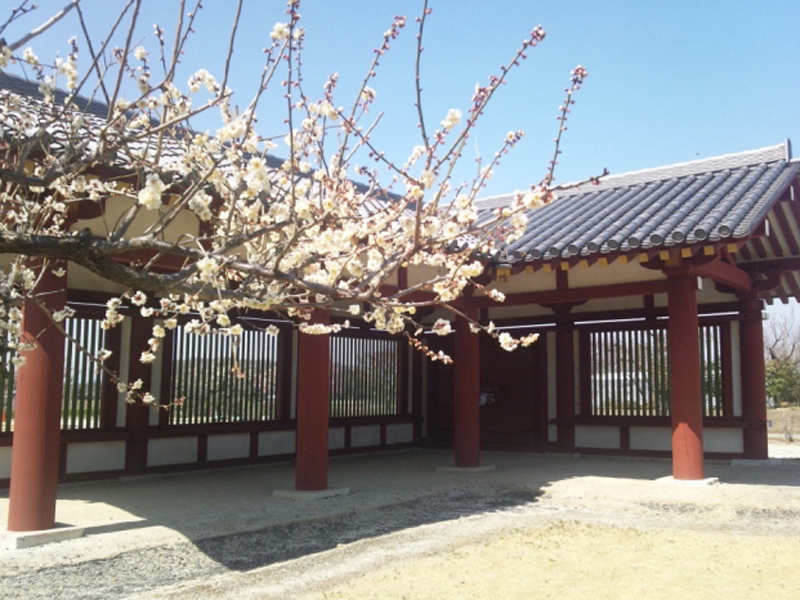
下野薬師寺跡
住所:栃木県下野市薬師寺1636
TEL:0825-47-3121(下野薬師寺歴史館)
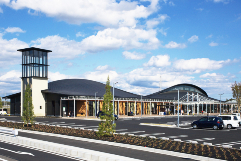
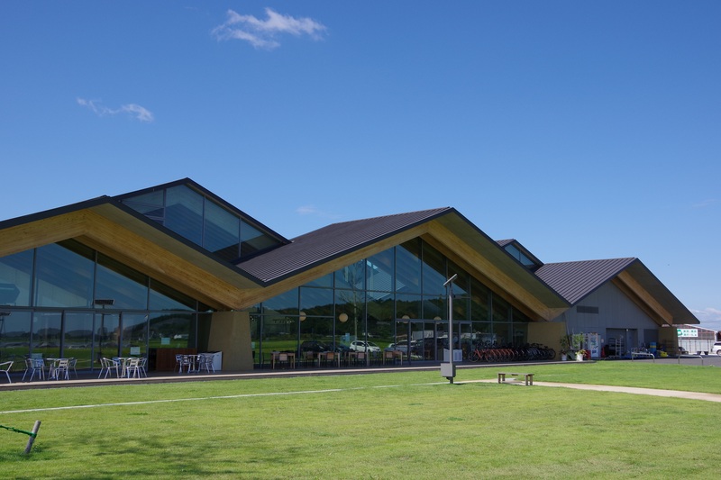
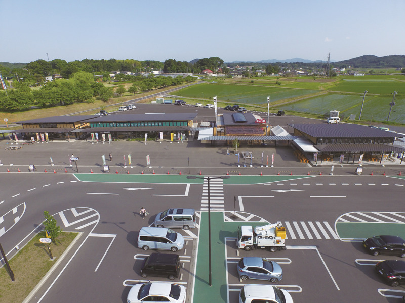
道の駅しもつけ
住所:栃木県下野市薬師寺3720-1
TEL:0285-38-6631(道の駅しもつけ)
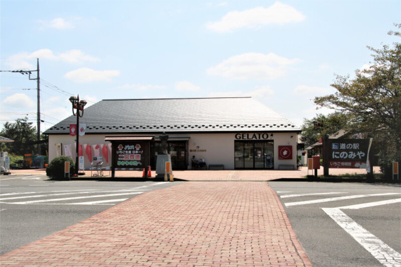
道の駅にのみや
住所:栃木県真岡市久下田2204-1
TEL:0285-73-1110(道の駅にのみや)
道の駅ましこ
住所:栃木県芳賀郡益子町長堤2271
TEL:0285-72-5530(道の駅ましこ)
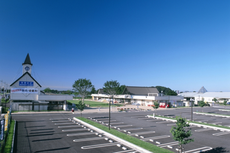
道の駅もてぎ
住所:栃木県芳賀郡茂木町茂木1090-1
TEL:0285-63-5671(道の駅もてぎ もてぎプラザ)
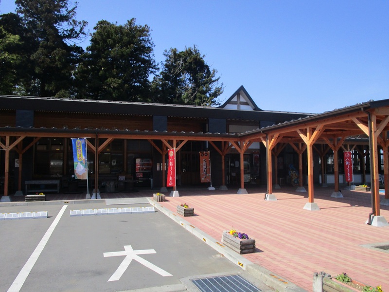
道の駅ばとう
住所:栃木県那須郡那珂川町北向田181-2
TEL:0287-92-5711(9:00~16:00)(道の駅ばとう)
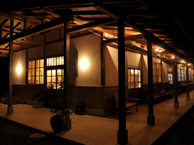
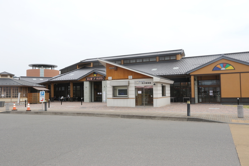
道の駅きつれがわ
住所:栃木県さくら市喜連川4145-10
TEL:道の駅きつれがわ 028-686-8180(新館) 028-686-8181(本館・温泉)
道の駅たかねざわ元気あっぷむら
住所:栃木県塩谷郡高根沢町上柏崎588-1
TEL:028-676-1126(道の駅たかねざわ 元気あっぷむら)
道の駅サシバの里いちかい
住所:栃木県芳賀郡市貝町市塙1270
TEL:0285-68-3485(道の駅サシバの里いちかい)
道の駅はが
住所:栃木県芳賀郡芳賀町祖母井842-1
TEL:028-677-6000(道の駅はが)