コース・マップ検索
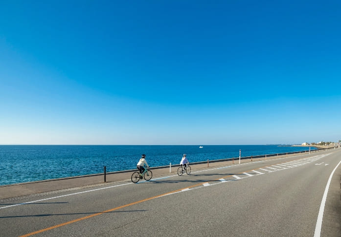
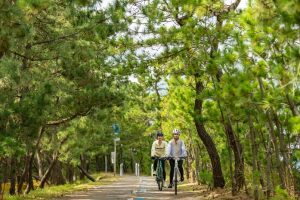
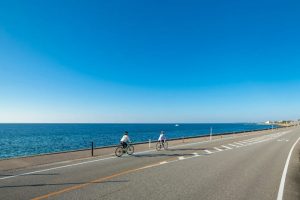
富山湾岸サイクリングコース
距離 Distance:
102km
獲得標高 上り Elevation Gain (Up):
ー
獲得標高 下り Elevation Gain (Down):
ー
最大標高差 Maximum elevation difference:
35m
「世界で最も美しい湾クラブ」に加盟した富山湾を眺めながら湾岸沿いに富山県を横断するコース。富山湾の絶景とグルメを楽しむサイクリングイベント「富山湾岸サイクリング」も開催されています。
A course that crosses Toyama Prefecture along the bay while looking at Toyama Bay, which is a member of the “World's Most Beautiful Bay Club.” The cycling event “Toyama Bay Cycling” is also being held where you can enjoy the spectacular scenery and gourmet food of Toyama Bay.
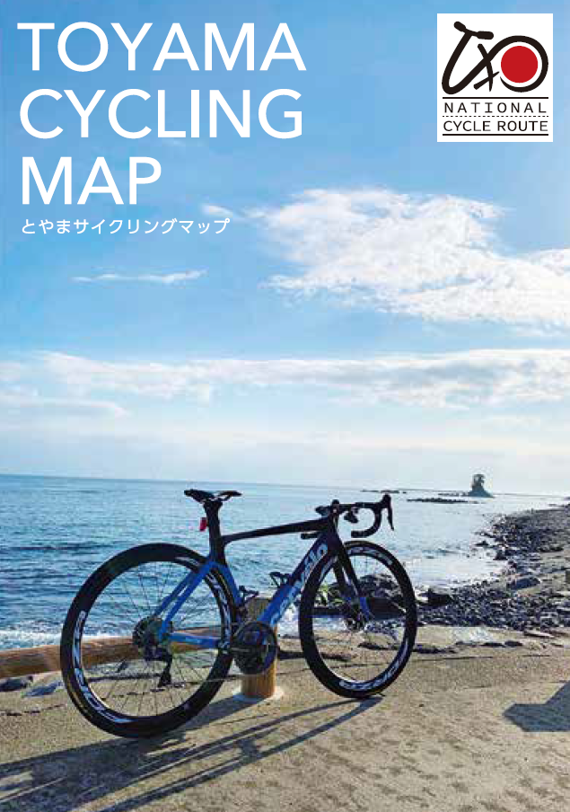
コース掲載マップ とやまサイクリングマップ
富山県では「世界で最も美しい湾クラブ」に加盟した富山湾の美しい自然景観を体感できる「富山湾岸サイクリングコース」、富山の森・里・山の魅力を楽しむことができる「田園サイクリングコース」、そして2つのコースを結ぶ 「湾岸・田園連絡サイクリングコース」を整備しています。
マップ詳細へ
オススメスポット ビュースポット いきもの・植物 グルメ ショッピング 道の駅 温泉 宿泊 病院 レンタサイクル 自転車販売店 サイクリングサポート トイレ その他
※オンラインの地図上でサイクリングルートが閲覧できるウェブサイト「ルートラボ」が2020年3月末でサービス終了したため、「bikemap」に変更したことで、bikemap内の距離や高低差に誤差が生じている場合がありますが、ご理解ご了承の程、よろしくお願いします。
コース周辺スポット
全て
オススメスポット
ビュースポット
いきもの・植物
グルメ
ショッピング
トイレ
その他
で絞り込む
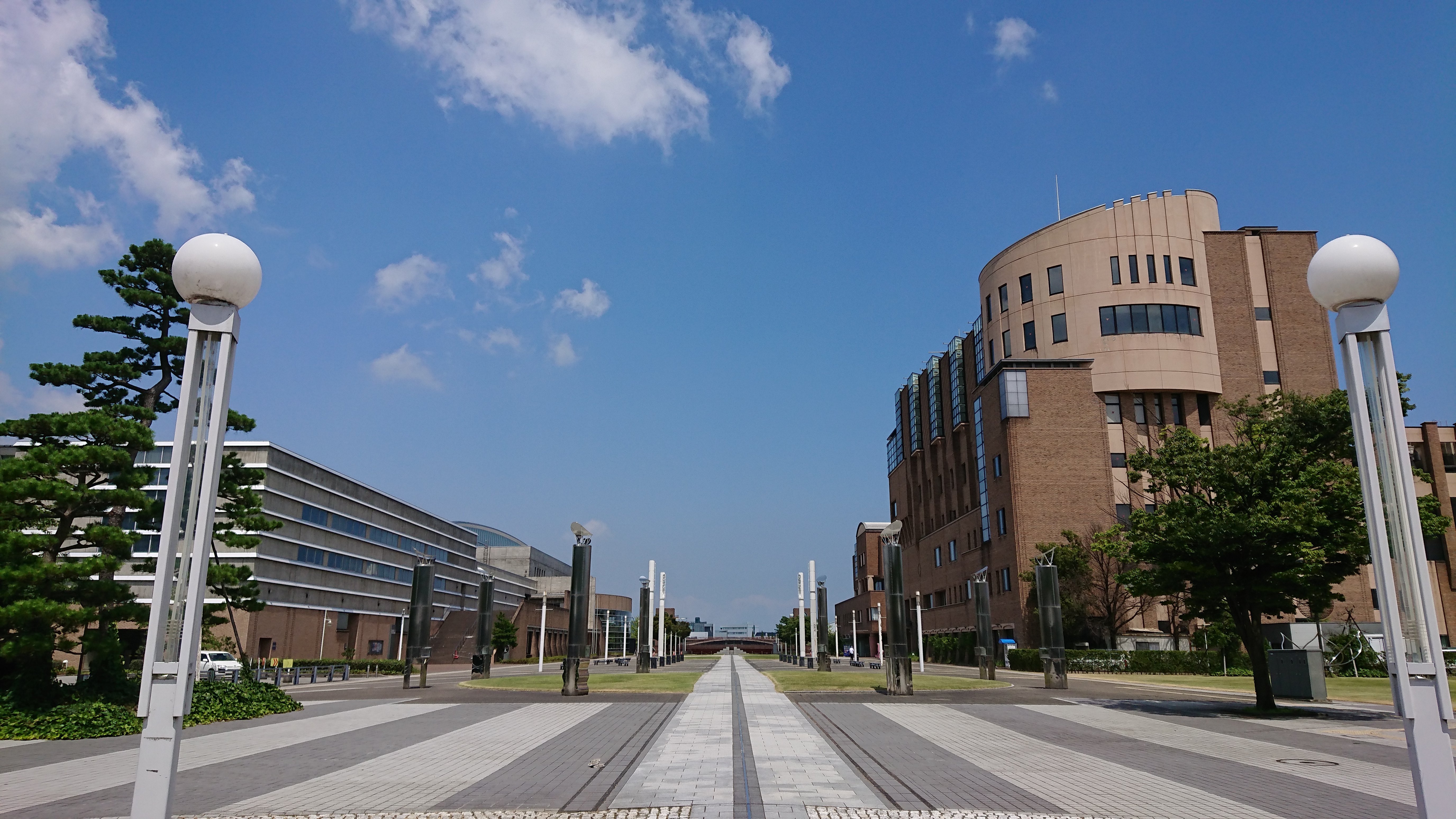
富岩運河環水公園
富山駅北口から徒歩9分の距離にあり、富岩運河を囲むように広がる緑の美しい水辺空間です。園内には、世界一美しい「スターバックス・コーヒー」があります。
住所:富山県富山市湊入船町1
TEL:076-444-6041
虻ヶ島越しの立山連峰
虻ヶ島越しの立山連峰の眺めを楽しめる絶好のポイントです。
住所:富山県氷見市中田
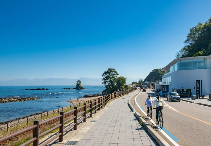
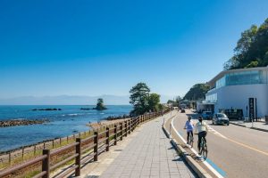
雨晴海岸
富山湾越しに見る3,000m級の立山連峰の雄大な眺めは息を呑む美しさです。
住所:富山県高岡市太田
勝興寺
国指定の重要文化財です。20年余りにわたる「平成の大修理」を終え、創建時に近い姿が蘇りました。
住所:富山県高岡市伏木古国府17-1
川の駅 新湊、内川
新湊きっときと市場
シロエビやベニズワイガニを使った海鮮丼が好評です。新湊漁港で水揚げされた鮮魚も販売されています。
住所:富山県射水市海王町1
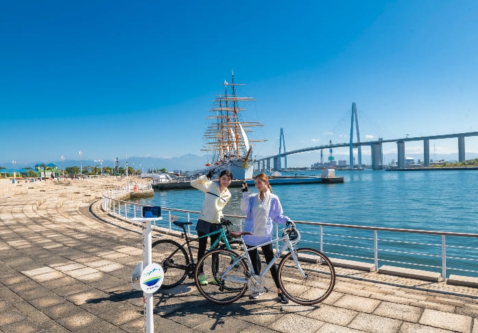
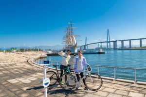
海王丸パーク
帆船「海王丸」が停留されており、船内を見学することができます。天気が良ければ立山連峰を背景に海王丸と新湊大橋を望むことができます。
住所:富山県射水市海王町8
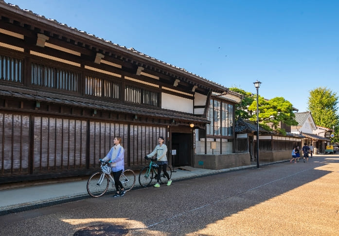
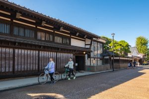
岩瀬の街並み
北前船の港町として栄え、廻船問屋などの歴史的な建造物や、酒屋、レストラン、ガラス・陶芸工房などが入る土蔵群が建ち並んでいます。
住所:富山県富山市東岩瀬町
ほたるいかミュージアム・道の駅 ウェーブパークなめりかわ
ホタルイカの不思議な生態を紹介する体験型施設。生きたホタルイカの発光ライブショーは必見です。
住所:富山県滑川市中川原410
蜃気楼ロード
魚津市の海岸を走る道路で、「日本風景街道」に登録されました。サイクリングにも最適です。
住所:富山県魚津市
蜃気楼展望地点
蜃気楼を鑑賞できる絶好のポイントです。運が良ければみれるかも?
住所:富山県魚津市村木
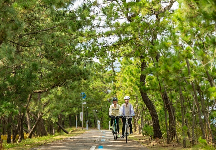
杉沢の沢スギ(沢スギ自然館)
海岸近くの湧水地帯に生育する全国的にも珍しいスギ林です。国の天然記念物に指定されています。
住所:富山県下新川郡入善町吉原950
生地の清水
生地地区には全部で20か所の湧水スポットがあり、湧出量や水質、味わいがそれぞれに異なります。
住所:富山県黒部市生地
ヒスイ海岸
宮崎・境海岸はヒスイの原石が打ち上げられることから「ヒスイ海岸」とも呼ばれています。休憩の合間に探してみましょう。
住所:富山県下新川郡朝日町宮崎
にゅうぜんフラワーロード