![]()
![]()
![]()
![]()
![]()
![]()
![]()
![]()
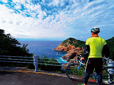
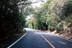
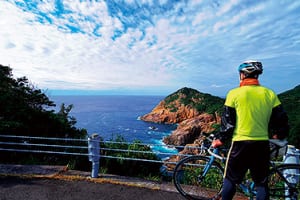
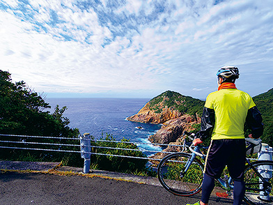
道の駅あしずりから土佐清水の街を抜け、足摺半島をめぐり、足摺スカイラインのヒルクライムに挑戦。巨岩の遺跡唐人駄場を訪れ、ふたたび海景色を楽しみながらスタートへと戻る。四国最南端の太平洋の眺めを満喫できるコース。
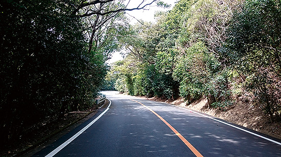
距離は40kmほどだが、標高差にして700mほど上り走りごたえのあるコース。きつい上りが好みでない方は、足摺スカイラインを避け、27号で足摺半島をめぐり、唐人駄場のみ往復すればきつい上りを減らすことができる。時間に余裕を持って出かけ、走るだけでなく、美しい景色やグルメ、歴史探訪まで、しっかり楽しみたい満喫コースだ。
Pass through the town of Tosashimizu from Roadside Station Ashizuri, tour the Ashizuri Peninsula, and try a hill climb on the Ashizuri Skyline. Visit the giant rock ruins Tojin Dagang and go back to the start while enjoying the seascape once again. A course where you can fully enjoy the view of the Pacific Ocean at the southernmost tip of Shikoku.
The distance is about 40 km, but the elevation difference is about 700 meters, and the course is challenging to run. If you don't like tough climbs, you can reduce tough climbs by avoiding the Ashizuri Skyline, going around the Ashizuri Peninsula on Route 27, and going back and forth only to the Tojin Dagang. It's an enjoyable course where you want to not only go out and run with plenty of time, but also thoroughly enjoy beautiful scenery, gourmet food, and even historical exploration.
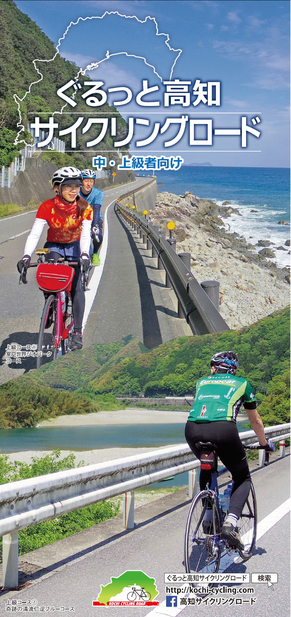
中・上級者向け
マップ詳細へ※オンラインの地図上でサイクリングルートが閲覧できるウェブサイト「ルートラボ」が2020年3月末でサービス終了したため、「bikemap」に変更したことで、bikemap内の距離や高低差に誤差が生じている場合がありますが、ご理解ご了承の程、よろしくお願いします。