


![]()
![]()
![]()
![]()
![]()
![]()
![]()
![]()
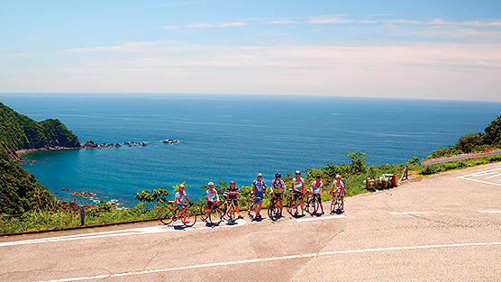

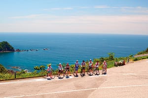
かわうその里すさきをスタートし、浦ノ内湾の眺めを楽しみながら北岸を回り、後半はアップダウンが続くが、リアス式海岸ならではの海と岬の絶景が楽しめる横浪スカイラインに挑戦。短くとも満足度の高いコース。
距離は短いけれど、湾沿いだけでなくスカイライン上からも海の景色を楽しむことができ、少しチャレンジングなアップダウンもあり、気軽にチャレンジでき達成感も味わえるコースだ。
Starting at Kawausonosato Susaki, we went around the north coast while enjoying the view of Uranouchi Bay, and although ups and downs continued in the second half, we challenged the Yokonami Skyline where you can enjoy spectacular views of the ocean and cape unique to the Rias style coast. A short but highly satisfying course.
Although the distance is short, you can enjoy the view of the ocean not only along the bay but also from above the skyline, and there are slightly challenging ups and downs, so it's a course where you can easily take on challenges and enjoy a sense of accomplishment.
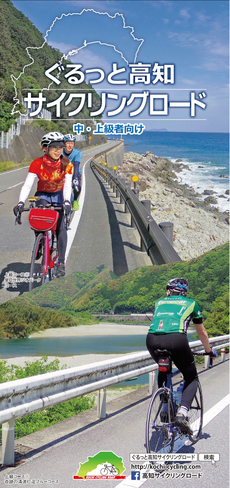
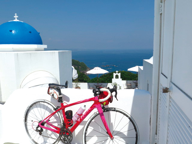
中・上級者向け
マップ詳細へ※オンラインの地図上でサイクリングルートが閲覧できるウェブサイト「ルートラボ」が2020年3月末でサービス終了したため、「bikemap」に変更したことで、bikemap内の距離や高低差に誤差が生じている場合がありますが、ご理解ご了承の程、よろしくお願いします。
