


![]()
![]()
![]()
![]()
![]()
![]()
![]()
![]()

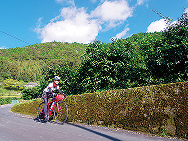

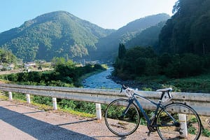
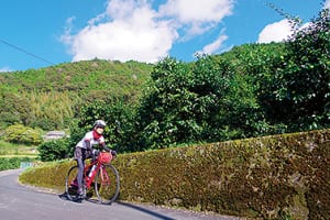
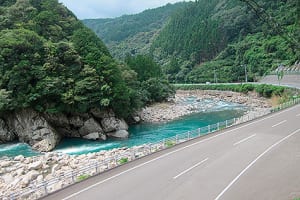
奈半利川を眺めながらゆるく上り、ゆずの村北川村、馬路村を訪れ、安田川沿いに太平洋岸に下るコース。濃い緑、美しいふたつの川、地元名産のゆずや、グルメも堪能できる。勾配は緩いため、ビギナーの方でも楽しめる。
総走行距離は70kmだが立ち寄りどころが多く、1日たっぷりと楽しめるコース。ゆったりと立ち寄りを楽しみたいなら、モネの庭など立ち寄りスポットの往復と馬路温泉への往復で計50kmあまりの走行距離に納め、上りを減らすことも可能。上りと下りでは角度の差で見える景色も異なり、十分楽しめるだろう。
A course that slowly climbs while looking out at the Nahari River, visits Kitagawa Village and Umaji Village, and descends along the Yasuda River to the Pacific coast. You can also enjoy the dark greenery, two beautiful rivers, yuzu, a local specialty, and gourmet food. The slope is gentle, so even beginners can enjoy it.
The total mileage is 70 km, but there are many places to stop by, so you can enjoy the course to the fullest throughout the day. If you want to enjoy a leisurely drop in, it is also possible to reduce the climb by making a round trip to places such as Monet's Garden and a round trip to Umaji Onsen for a total driving distance of about 50 km. The scenery you can see when going up and down is also different due to the difference in angle, so you'll be able to fully enjoy it.
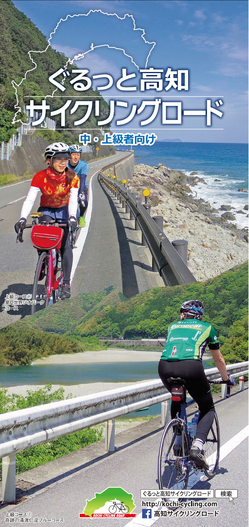
中・上級者向け
マップ詳細へ※オンラインの地図上でサイクリングルートが閲覧できるウェブサイト「ルートラボ」が2020年3月末でサービス終了したため、「bikemap」に変更したことで、bikemap内の距離や高低差に誤差が生じている場合がありますが、ご理解ご了承の程、よろしくお願いします。
