


![]()
![]()
![]()
![]()
![]()
![]()
![]()
![]()
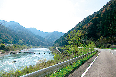
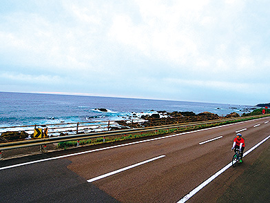
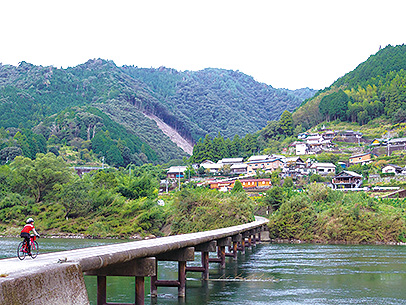
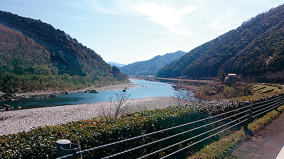

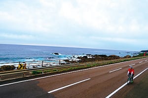
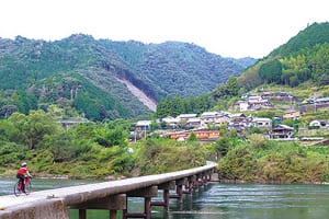
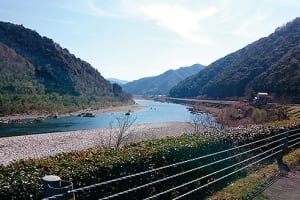
美しい海岸線を楽しみ、「最後の清流」四万十川の上流を目指して峠を上り、四万十川とともに下ってくるロングライドコース。下り基調区間が長く、挑戦しやすい。魅力的な道の駅など立ち寄りどころも豊富。もっとも四万十川らしい景観をたっぷり満喫できる。距離も長く、獲得標高もそれなりにあるため、1日で走り切らずに途中で宿泊し、川遊びをしたり、グルメスポットをめぐったり、まったく違う美しさがある支流の黒尊川を訪ねたりする選択肢もあるだろう。
A long ride course where you can enjoy the beautiful coastline, go up the mountain pass aiming for the upper reaches of the “last clear stream,” the Shimanto River, and descend along with the Shimanto River. The downhill trend section is long, making it easy to challenge. There are plenty of places to stop by, such as the charming roadside station. You can fully enjoy the scenery most typical of the Shimanto River. The distance is long, and the elevation obtained is reasonable, so there are options to stay on the way without running all day, play in the river, visit gourmet spots, and visit the Kuroson River, a tributary with a completely different beauty.
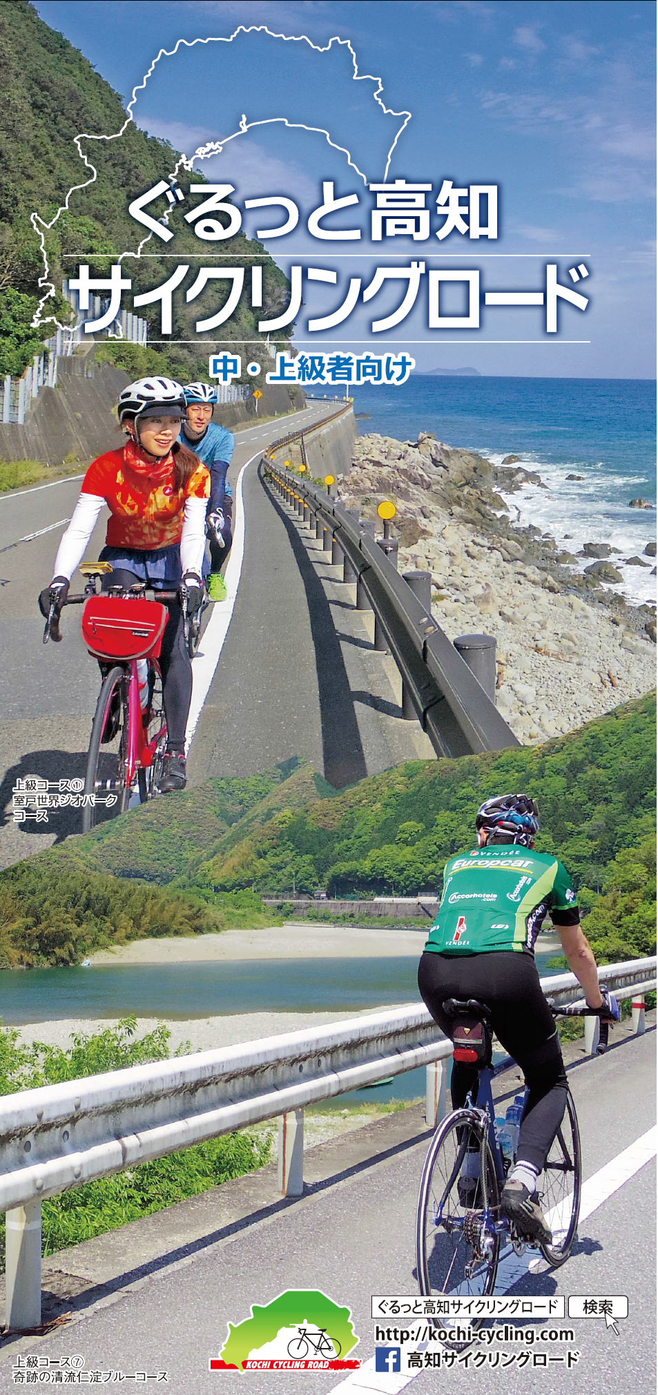
中・上級者向け
マップ詳細へ※オンラインの地図上でサイクリングルートが閲覧できるウェブサイト「ルートラボ」が2020年3月末でサービス終了したため、「bikemap」に変更したことで、bikemap内の距離や高低差に誤差が生じている場合がありますが、ご理解ご了承の程、よろしくお願いします。
