


![]()
![]()
![]()
![]()
![]()
![]()
![]()
![]()

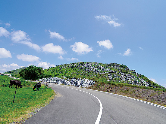
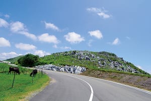
龍馬脱藩の道を上り、四国カルストの絶景が広がる天狗高原を走り抜けたあと、天狗荘から一気に下る。前半は上りが続くが、後半は滝や川景色を眺めながらの下り基調。タフだが達成感も大きく魅力的なコース。
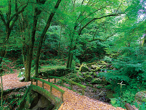
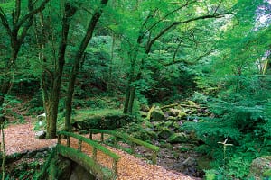
ヒルクライム好きな方なら、逆方向に辿り、長沢の滝を経由せず、48号で天狗峠を上ってみるのがおすすめ!10kmで850mを上る厳しい上りではあるが、コケに覆われた別世界のような空間を楽しむことができる。
After going up the road of Ryoma Tsu Domain, running through Tengu Kogen, where a spectacular view of the Shikoku Karst spreads, it descends all at once from Tengu-so. In the first half, the ascent continues, but the second half is mostly about going downhill while admiring waterfalls and river views. This is a tough but fascinating course with a great sense of accomplishment.
If you like hill climbing, I recommend going in the opposite direction and going up Tengu Pass on Route 48 without going through Nagasawa Falls! Although it is a tough climb of 10 km and goes up 850 meters, you can enjoy a space like another world covered in moss.
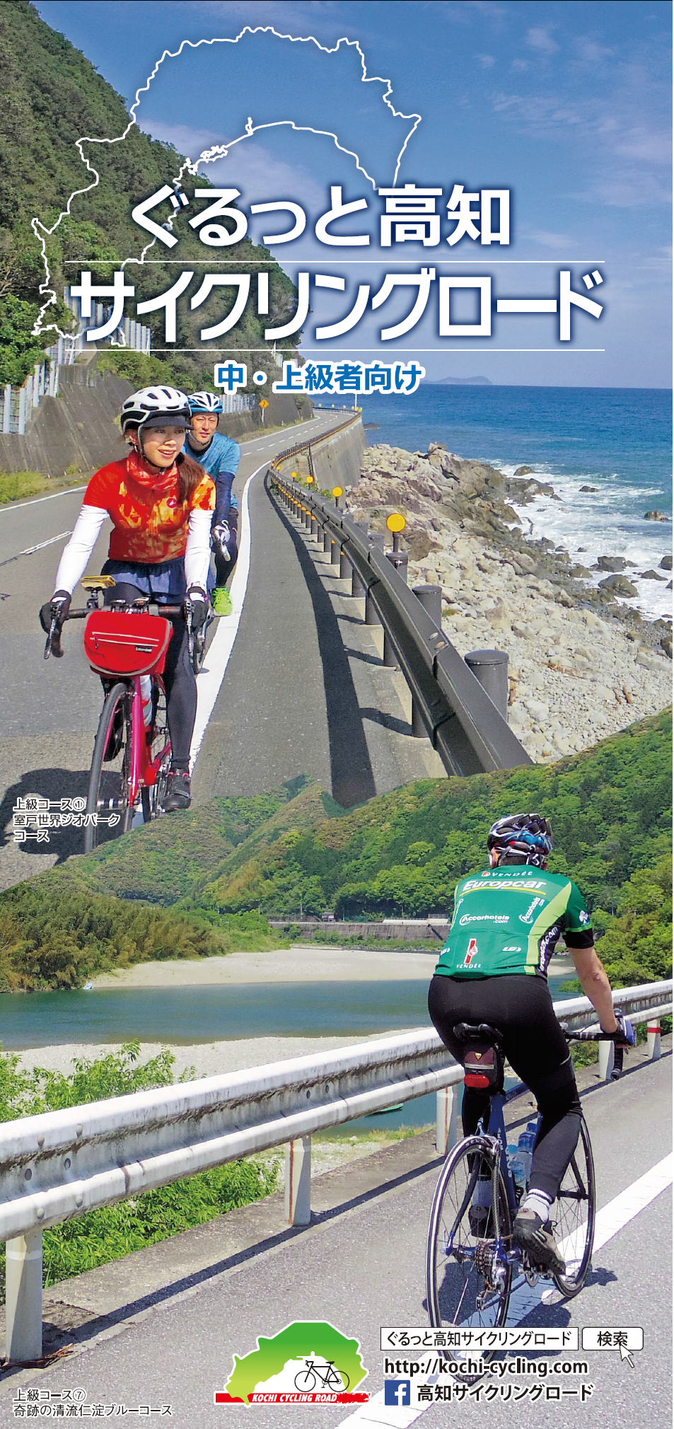
中・上級者向け
マップ詳細へ※オンラインの地図上でサイクリングルートが閲覧できるウェブサイト「ルートラボ」が2020年3月末でサービス終了したため、「bikemap」に変更したことで、bikemap内の距離や高低差に誤差が生じている場合がありますが、ご理解ご了承の程、よろしくお願いします。
