


![]()
![]()
![]()
![]()
![]()
![]()
![]()
![]()

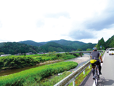
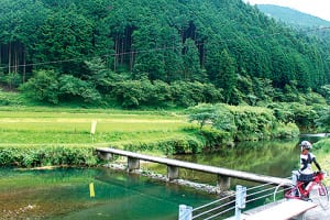
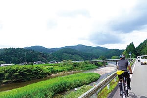
「日本最後の清流」とも呼ばれる四万十川。須崎をスタートし、絶景が続く海岸線を南下、窪川からは四万十川ぞいの田園地帯を北上し、四万十川の源流域を目指すコース。コース内には人気スイーツ店も多く、景観以外も楽しむことができる。
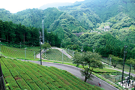
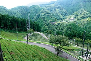
四万十川の源流点だけでなく、海、田園風景、段々畑、新庄川、と、景色も風情も走るたびに大きく変わる魅力的なコース。グルメも満喫できて、もりだくさんのロングライド。ビギナーの方でも、上りが苦手な方でも、勾配が緩いので立ち寄りを楽しみながらペースを守り走れば、十分走りきれるだろう。
The Shimanto River is also known as “Japan's last clear stream.” Starting at Susaki, this course goes south along the coastline where spectacular views continue, and from Kubokawa, heads north through the Shimanto River countryside, and aims for the headwaters of the Shimanto River. There are also many popular sweets shops on the course, so you can enjoy things other than just the scenery.
In addition to the headwaters of the Shimanto River, this is an attractive course where the scenery and atmosphere change drastically every time you run, such as the ocean, rural scenery, terraced fields, and the Shinjo River. I was able to enjoy gourmet food, and it was a long ride full of fun. Whether you're a beginner or someone who isn't good at climbing, the slope is gentle, so if you keep up the pace while enjoying stopping by, you'll be able to run through enough.
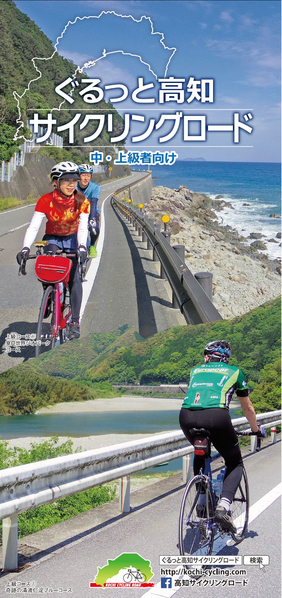
中・上級者向け
マップ詳細へ※オンラインの地図上でサイクリングルートが閲覧できるウェブサイト「ルートラボ」が2020年3月末でサービス終了したため、「bikemap」に変更したことで、bikemap内の距離や高低差に誤差が生じている場合がありますが、ご理解ご了承の程、よろしくお願いします。
