


![]()
![]()
![]()
![]()
![]()
![]()
![]()
![]()
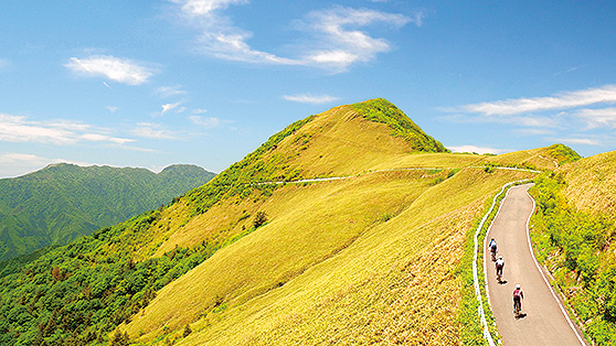
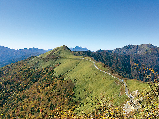
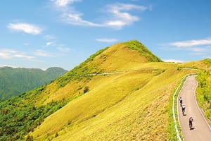
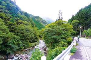
標高差が大きく、体力の必要なコース。標高1,300m〜1,700mの尾根沿いを縫うように走行するルートは天空へと続く絶景で、晴れた日には石鎚山系はもとより、太平洋まで見渡せるダイナミックな景色が続く。サイクイングの後は、「木の香温泉」で疲れた体を癒すことができる。
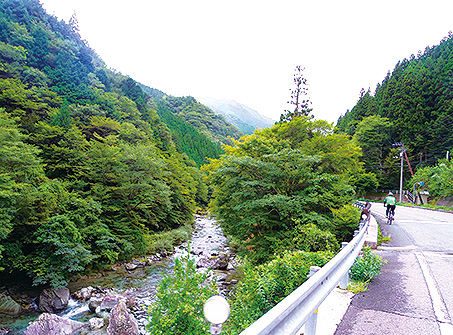
このコースは、瓶ケ森に向かうヒルクライムと帰り道のダウンヒルでできたキツめのコースではあるけれど、コース内どのエリアの眺望も魅力的で、飽きることがない珠玉のコース。非常にトンネルが多く、強力なフロントライトと、強く存在を主張してくれるテールライトが必須。ライトは自分を守ってくれる大切なもの。電池切れなどがないよう、確実に準備しよう。
This course requires physical strength due to large differences in elevation. The route, which runs along a ridge at an altitude of 1,300 m to 1,700 m, has a spectacular view leading to the sky, and on a clear day, the dynamic scenery where you can see not only the Ishizuchi Mountains but also the Pacific Ocean continues. After cycling, you can heal your tired body at “Kinoka Hot Spring.”
Although this course is a tough course made of a hill climb towards Kamegamori and downhill on the way back, the view of every area within the course is attractive, and it is a gem course that you won't get tired of. There are so many tunnels, so strong front lights and taillights that strongly assert your presence are essential. A light is an important thing that protects you. Be sure to be prepared so you don't run out of batteries.
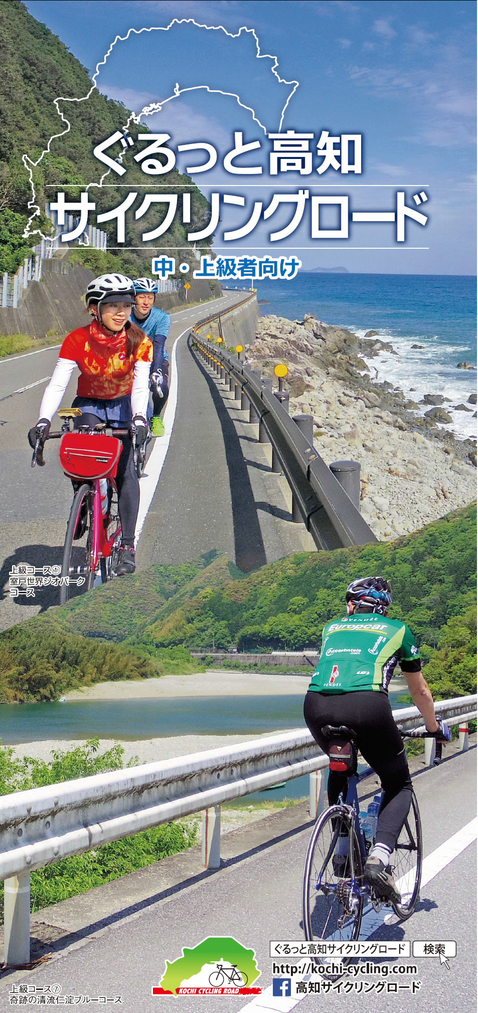
中・上級者向け
マップ詳細へ※オンラインの地図上でサイクリングルートが閲覧できるウェブサイト「ルートラボ」が2020年3月末でサービス終了したため、「bikemap」に変更したことで、bikemap内の距離や高低差に誤差が生じている場合がありますが、ご理解ご了承の程、よろしくお願いします。
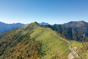
絶景のUFOライン!ふかふかした緑の絨毯をまとう山の上部に、まるで刺繍をしたように道路が這っている。おとぎ話のような、現実離れした景観。このてっぺん感はクセになる!
