


![]()
![]()
![]()
![]()
![]()
![]()
![]()
![]()
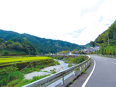

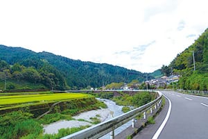
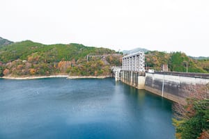
美しい湖面が広がる早明浦ダムの北岸から吉野川沿いを辿り、渓流美を眺めた後は、大橋貯水池や上八川川、地蔵寺川沿いを走る。緑豊かな土地で、水辺の景色を楽しみながら爽快に走れる山岳コース。
このコースは反対周りで走っても、美しい川景色と田園風景が眺められ、下りの分量が増え走りやすく十分楽しめる。(反対周りだと左側通行では北側の吉野川や早明浦ダムなどが反対車線側となるので注意)
Follow along the Yoshino River from the north bank of Sameura Dam, where the beautiful surface of the lake spreads out, and after admiring the beauty of the mountain stream, run along the Ohashi Reservoir, Kamiyakawa River, and Jizoji River. A mountain course where you can run exhilarating while enjoying the waterside scenery on a land rich in greenery.
Even if you run in the opposite direction on this course, you can see beautiful river scenery and rural scenery, and the amount of descent increases, making it easy to run and you can enjoy it enough. (Note that the Yoshino River and the Sameura dam on the north side will be in the opposite lane when driving on the left side if you drive in the opposite direction)
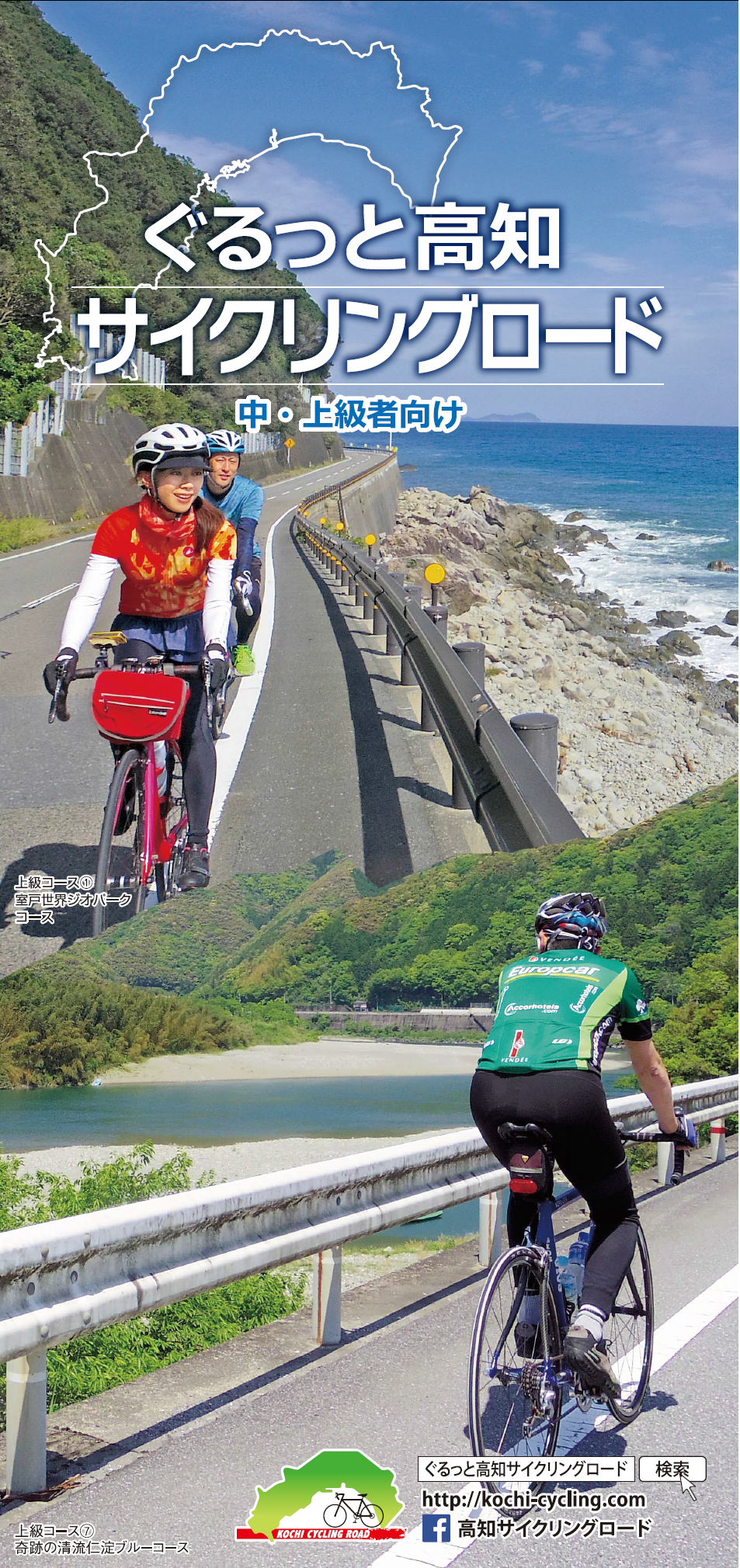
中・上級者向け
マップ詳細へ※オンラインの地図上でサイクリングルートが閲覧できるウェブサイト「ルートラボ」が2020年3月末でサービス終了したため、「bikemap」に変更したことで、bikemap内の距離や高低差に誤差が生じている場合がありますが、ご理解ご了承の程、よろしくお願いします。
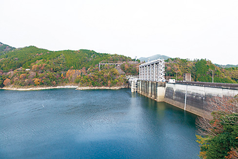
早明浦ダムエリアに差し掛かるが、しばらくは道幅がせまく、路面が割れていたり、落ち葉や苔で滑りやすいところもあるので注意しよう。
左手に吉野川を見下ろしながら進む。勾配はほぼ平坦で、小さなアップダウンが時折現れる。豊かな田園風景を眺め、地域の暮らしを感じる素朴な景色の中をゆったり行こう。
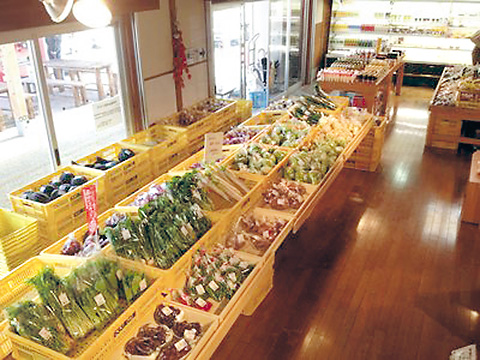
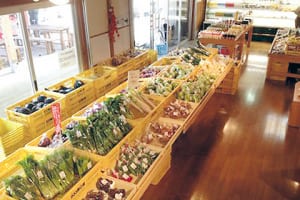
「森の小さなお菓子屋さん」には、パイやケーキ、生パウンドケーキなどが並び、甘党におすすめ!ソフトクリームも濃厚で超美味。
