


![]()
![]()
![]()
![]()
![]()
![]()
![]()
![]()
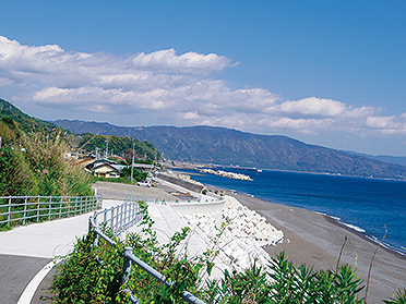
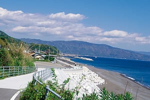

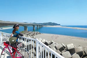
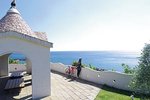

安芸から真っ青な海がまぶしいサイクリングロードへ。渡船を渡り、アップダウンが続くが絶景も楽しめる横浪スカイラインを疾走し、須崎にゴールする「海のみち」。進むごとに趣の異なる景観が現れる贅沢なワンウェイコース。
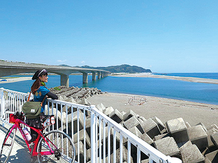
前半は土佐くろしお鉄道と並走するため、いざとなれば輪行でショートカットすることもできる。鉄道と組み合わせても楽しむことができる。
From Aki to a cycling road where the deep blue sea is dazzling. “Umi no Michi” crosses a ferry, runs along the Yokonami Skyline, where you can enjoy spectacular views even though the ups and downs continue, and finish at Susaki. A luxurious one-way course with a different landscape as you go.
Since the first half runs parallel to the Tosa Kuroshio Railway, it is also possible to take shortcuts by cycling in case of emergency. It can also be enjoyed in combination with a railway.
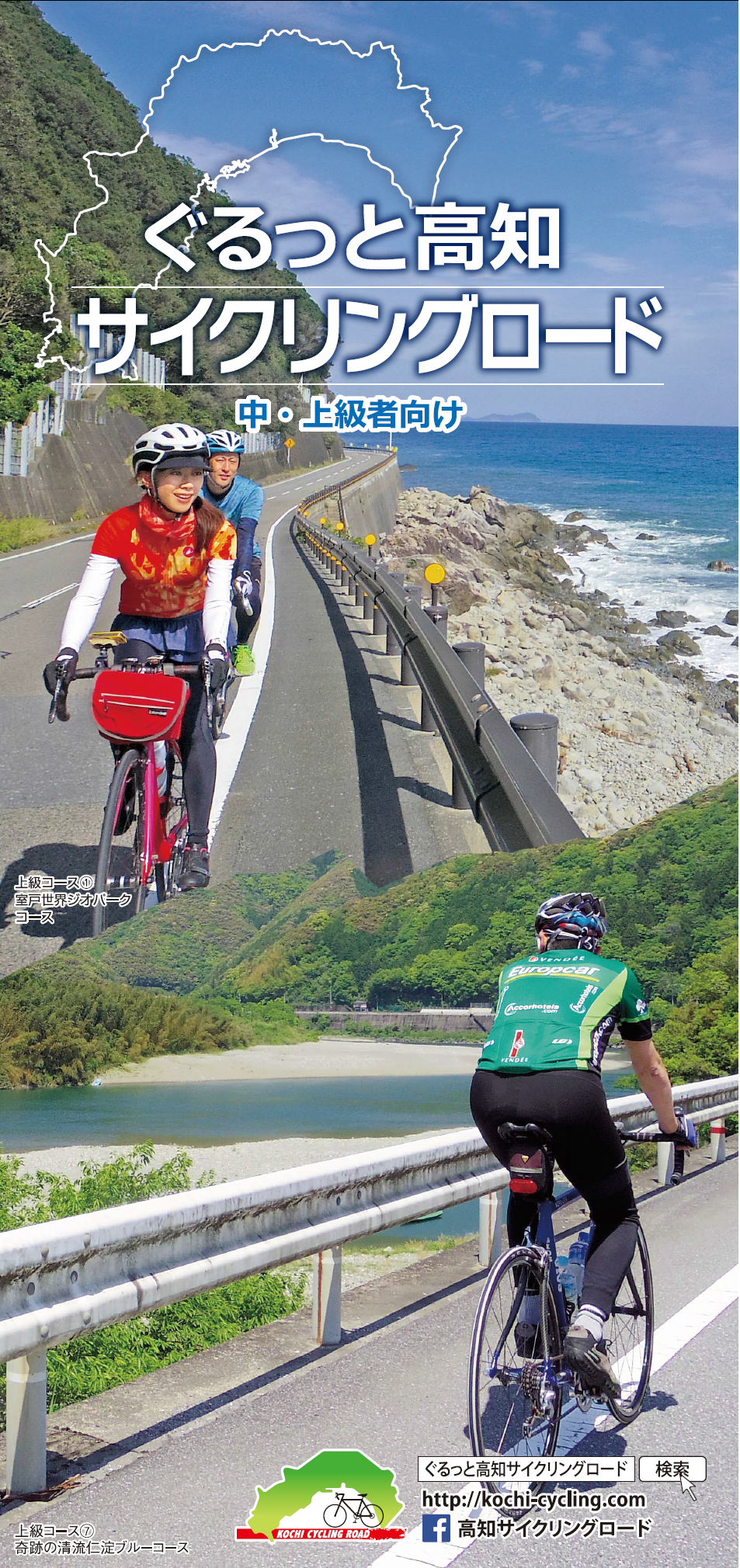
中・上級者向け
マップ詳細へ※オンラインの地図上でサイクリングルートが閲覧できるウェブサイト「ルートラボ」が2020年3月末でサービス終了したため、「bikemap」に変更したことで、bikemap内の距離や高低差に誤差が生じている場合がありますが、ご理解ご了承の程、よろしくお願いします。
