


![]()
![]()
![]()
![]()
![]()
![]()
![]()
![]()

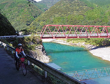
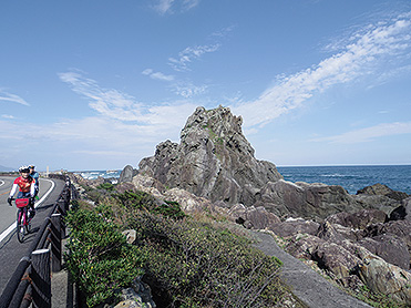
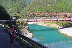

真っ青な太平洋を背景にごつごつとした岩が連なるジオパークを抜け、美しい奈半利川の眺めを楽しみながら、ゆずの町北川村を抜け、峠に挑戦し、また絶景の海に戻ってくる満足コース。
ごくわずかなアップダウンはあるが、このコースはしばらく平坦の快適なルートが続く。海のエリアには道の駅やグルメスポットも多く、補給やトイレの心配はほぼいらないが、山に差し掛かると商店はなくなるため、奈半利駅までに十分な用意をしておきたい。
A satisfying course where you pass through a geopark with rugged rocks in the background of the deep blue Pacific Ocean, enjoy the beautiful view of the Nahari River, pass through Kitagawa Village, the town of Yuzu, challenge mountain passes, and return to the spectacular sea.
There are very few ups and downs, but this course continues to be a flat and comfortable route for a while. There are many roadside stations and gourmet spots in the ocean area, so there is almost no need to worry about supplies or toilets, but when you approach the mountains, there are no shops, so I want to be prepared enough until Nahari Station.
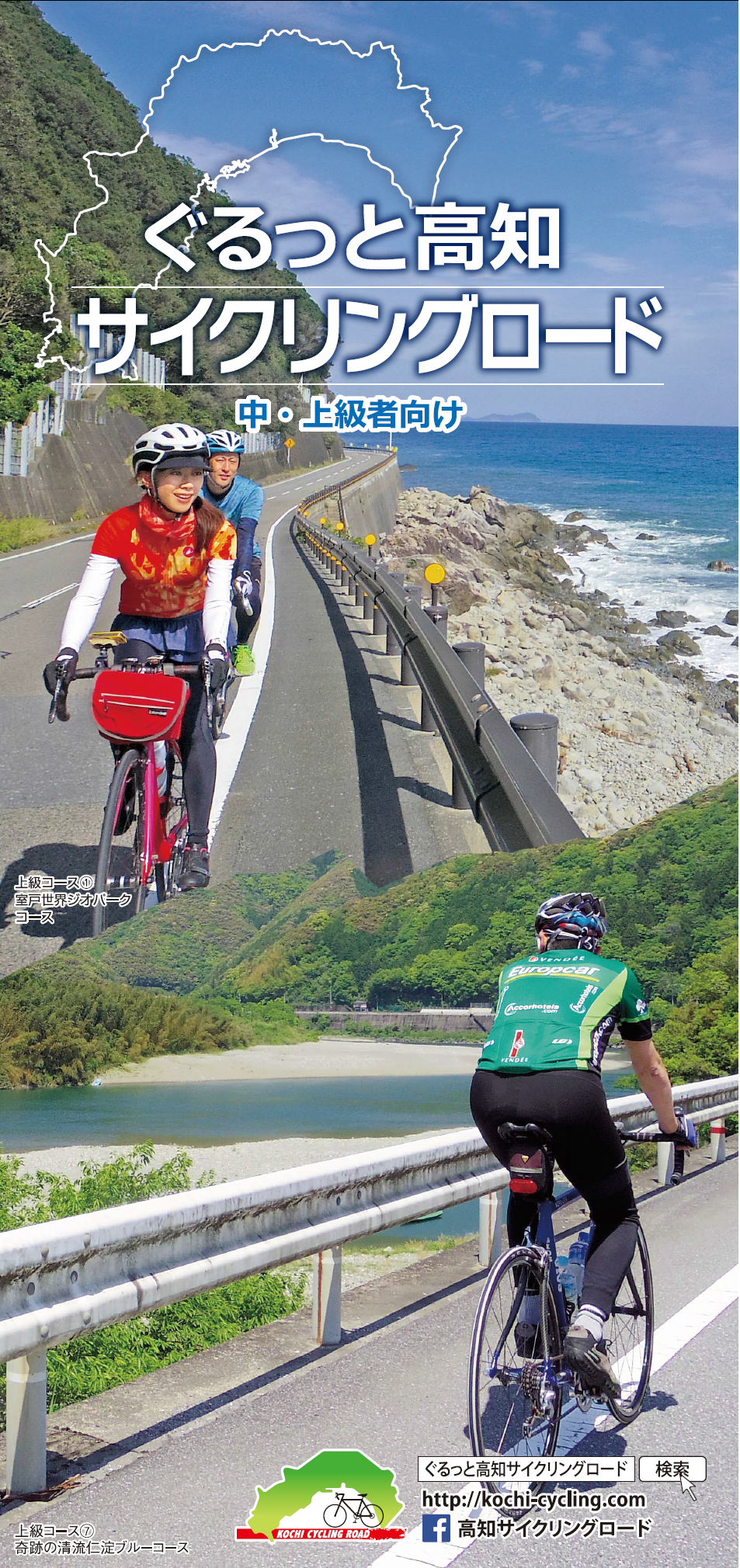
中・上級者向け
マップ詳細へ※オンラインの地図上でサイクリングルートが閲覧できるウェブサイト「ルートラボ」が2020年3月末でサービス終了したため、「bikemap」に変更したことで、bikemap内の距離や高低差に誤差が生じている場合がありますが、ご理解ご了承の程、よろしくお願いします。
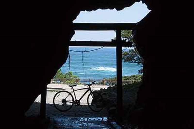
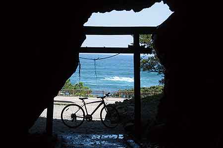
室戸は弘法大師が悟りを修行をした土地としても有名。弘法大師が悟りを開いたという岩山の中の小さな洞、御厨人窟から唯一見える「空」と「海」から、法名を「空海」としたとも伝えられている。

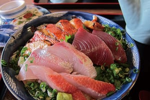
室戸のイチ押しグルメ「室戸キンメ丼」。各店舗が看板メニューとしており、ぜひ味わってみてほしい一品。
(前日までに要予約)
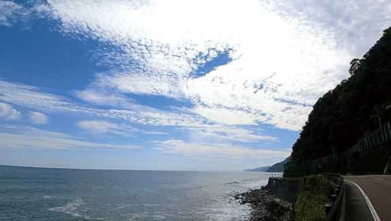
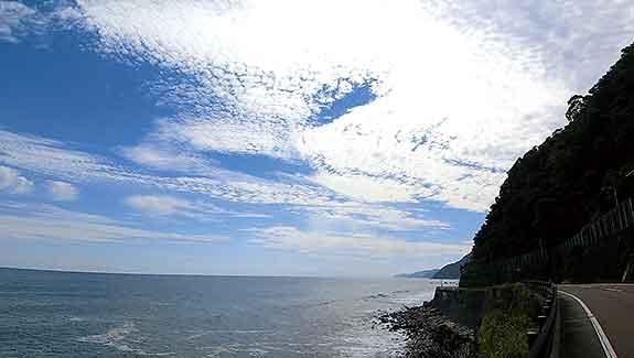
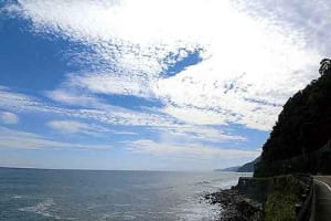
55号線に戻って、しばらく行くと、青い太平洋が広がる絶景が!この絶景を丸ごと味わえる贅沢!残りはただひたすら気持ちよく走るのみ。この絶景は、本コース最高のご褒美!

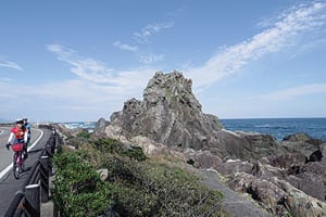
天気の良い日は真っ青な太平洋と、存在感のある岩々を眺めながら岬を回る。ソテツの木と、真っ青な海が続く海岸線は、まさに南国にきたようだ。
